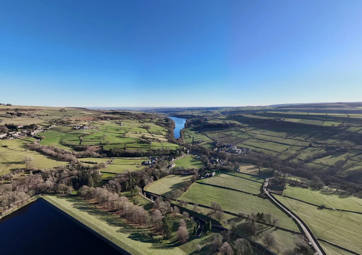
Places to explore near Matlock StationMatlock
75 places within 10 km — the standouts first, nearest first within each group. 3 are national icons.
Worth the tripnational icons and local highlights within reach

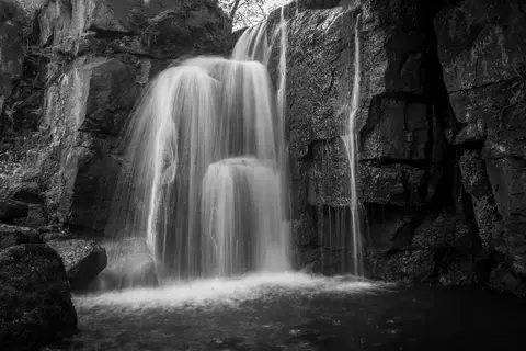
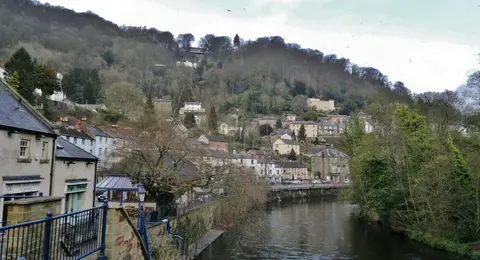

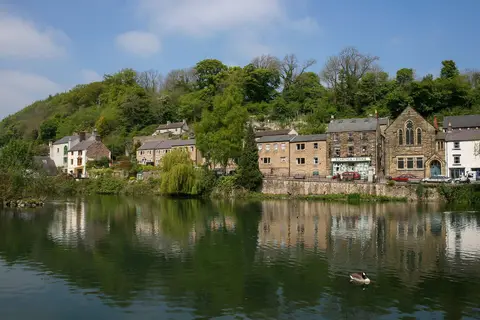
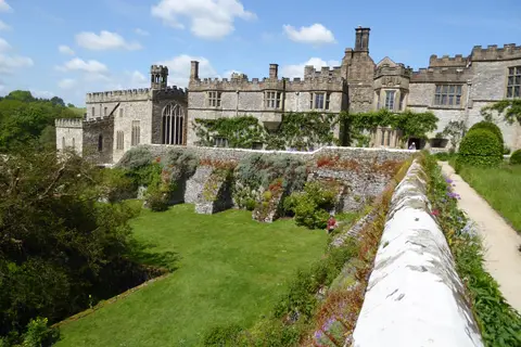
Also nearbygood places nearby, nearest first
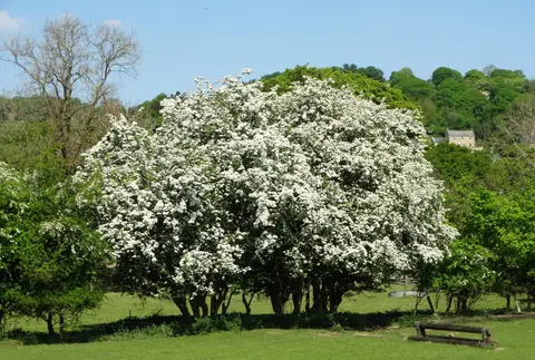
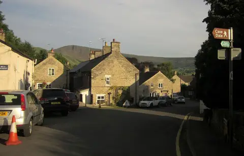
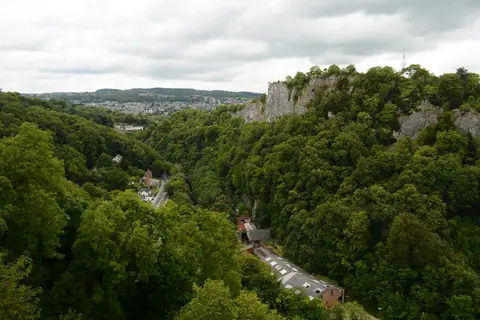
Everything else within 10 km (52) — reserves, earthworks & places to check before travelling
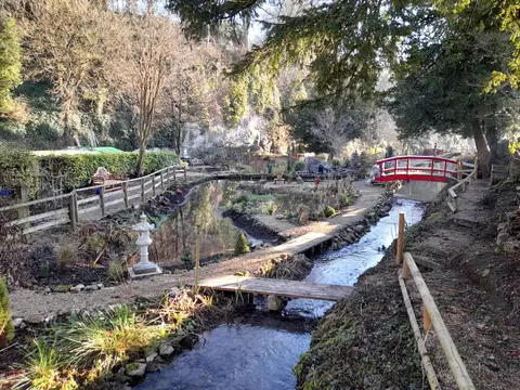
- Lea GardensGarden4.3 km SE
- Stanton Moor EdgeCountry estate5.2 km NW
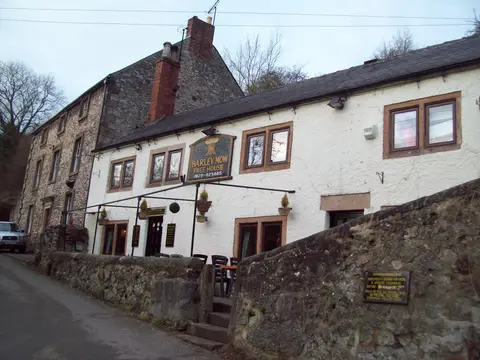
- The Old Bowling Green InnPub5.4 km W
- Winster Market HouseAncient site5.5 km W
- Winster (Winster)Village5.6 km W
- BirchoverVillage6 km W
- St Mary's Church, WirksworthChurch6.3 km S
- WirksworthVillage6.4 km S
- The Peacock at RowsleyPub6.9 km NW
- RowsleyVillage6.9 km NW
- The Devonshire Arms at BeeleyPub7.8 km NW
- Alport HeightCountry estate8.7 km S
- White Peak DistilleryDistillery9 km SE
- Amber Valley VineyardsVineyard9.2 km SE
- All Saints' Church, YoulgreaveChurch9.3 km NW
- YoulgreaveVillage9.4 km NW
- Derbyshire DalesNational Nature Reserve10 km W
- Masson HillSSSI0.5 km SW
- Cawdor QuarrySSSIaccess unclear0.9 km W
- Via Gellia WoodlandsSSSIaccess unclear2.8 km SW
- Cromford CanalSSSIaccess unclear3.2 km S
- Rose End MeadowsSSSIaccess unclear3.3 km S
- Clough WoodsSSSIaccess unclear3.5 km NW
- Bonsall LeysSSSIaccess unclear3.9 km SW
- Gang MineSSSIaccess unclear4.3 km S
- Colehill QuarriesSSSIaccess unclear4.8 km S
- Bage MineSSSIaccess unclear5.3 km S
- Wyns TorSSSI5.4 km W
- Eastern Peak District MoorsSSSI5.5 km N
- Baileycroft QuarrySSSIaccess unclear6 km S
- Dale QuarrySSSIaccess unclear6.1 km S
- Fall Hill QuarrySSSIaccess unclear6.1 km NE
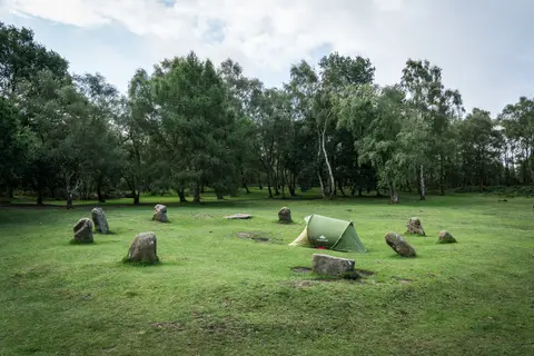
- Doll TorStone circleaccess unclear6.3 km NW
- The Druid InnPub6.3 km W
- Green Low chambered tombChambered tombaccess unclear6.8 km W
- Ogston ReservoirSSSIaccess unclear7 km E
- Shining Cliff WoodsSSSIaccess unclear7.3 km SE
- Nine StoneStone circleaccess unclear7.4 km W
- Bee's Nest and Green Clay PitsSSSIaccess unclear7.6 km SW
- Crich ChaseSSSIaccess unclear7.7 km SE
- Castle Ring (Derbyshire)Castleaccess unclear8 km W
- Harewood Grange Stream SectionSSSIaccess unclear8 km N
- Long Dale & Gratton DaleSSSI8.6 km W
- Chatsworth Old ParkSSSI8.8 km N
- Ye Olde Gate InnePub8.8 km SW
- Hob Hurst's HousePrehistoric mound8.9 km N
- MinninglowChambered tombaccess unclear9.1 km W
- Cairnfield and standing stonesStanding stone9.6 km N
- Hipley HillSSSIaccess unclear9.6 km SW
- Kirkham's Silica SandpitSSSIaccess unclear9.7 km SW
- Wall LandsSSSIaccess unclear9.7 km SW
- Ballidon DaleSSSI9.8 km W
Ordered by how far each place is worth travelling for, then by distance. Distances are straight-line to the nearest edge of each place — paths wind, of course.