Dovedale
National iconA limestone ravine on the River Dove at the southern edge of the Peak District, with famous stepping stones crossing below Thorpe Cloud
Approximate location — this spot is pinned to the nearest village, so the exact point may be a little way off.
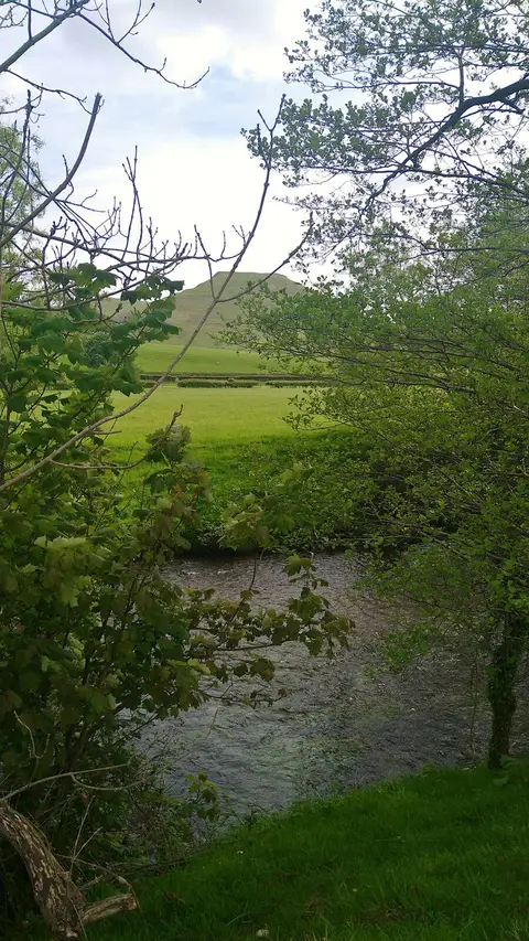
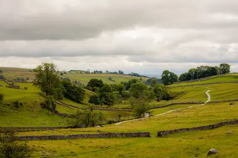
Dovedale is the stretch of the River Dove where the water has worn a narrow, steep-sided valley through pale grey limestone, at the quiet southern end of the Peak District. Most people come for the stepping stones, a line of flat stones set across the river just below Thorpe Cloud, the little cone-shaped hill that stands over the entrance to the dale. Wet limestone is slippery and the river rises quickly after heavy rain, so the stones are sometimes submerged, and it is worth watching your footing when you cross.
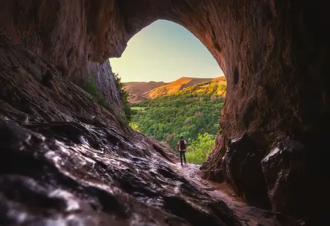
Carry on up the valley and the path passes crags, arches and pinnacles that have been given names over the years, among them the Twelve Apostles and Reynard’s Cave, a big natural arch up a steep scramble on the eastern side. The whole dale is limestone country, which is why it stays green and why caves and hollows keep turning up in the rock. The riverside path is broad and mostly level, so a walk to the caves and back is manageable for most people.
The main car park sits at the southern end near Thorpe and fills fast on summer weekends, when the stepping stones can get a proper queue, so an early start helps. From here you can walk on into Ilam and the Ilam Estate Country Park, or head over to the neighbouring Manifold Valley, which is drier and often much quieter. The Limestone Way passes close by if you want a longer route, and the village of Alstonefield to the north makes a good stop.