A hundred-mile circuit of Leicestershire, from Charnwood's rocks through the villages and battlefields of the county's heart
Indicative — sampled from open terrain data along the simplified route.
The Leicestershire Round is a 100-mile circular walk around the county, beginning and ending at Newtown Linford on the edge of Bradgate Park. It was devised in 1987 by the Leicestershire Footpath Association to mark its centenary, and follows public rights of way with some stretches of quiet lane and canal towpath. Divided into ten day-sections, it is designed to be walked either straight through or a section at a time.
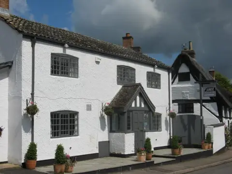
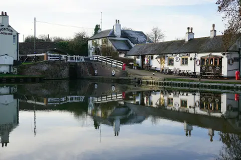
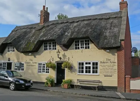
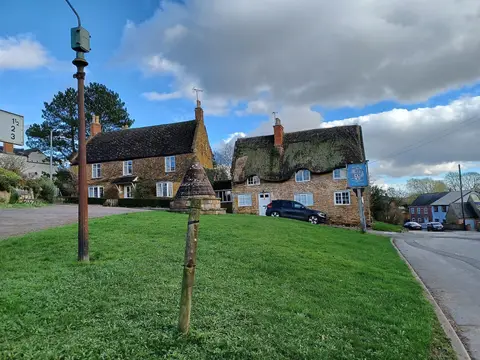
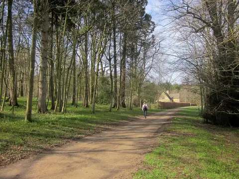
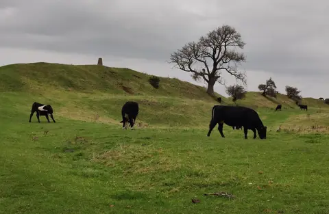
The route takes in a good deal of the county’s variety. It opens in the rocky heath and ancient deer park of Charnwood Forest, crosses the pasture and ridge-and-furrow of the eastern wolds by way of the Iron Age hillfort at Burrough Hill and the old village of Hallaton, drops to the Grand Union Canal at the great staircase of Foxton Locks, and swings west past Bosworth Battlefield, where Richard III fell in 1485, and the market town of Market Bosworth. Parts of the walk also run through the young woodlands of the National Forest.
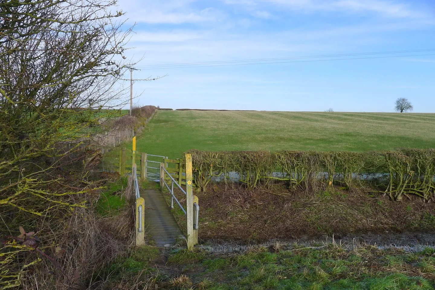
The walking is undemanding. This is middle England — low hills, arable fields, small villages — with no serious climbs and no remote ground; the challenge is the distance rather than the terrain, and the many field boundaries and stiles.
Because the route is built around villages as stopping points, it lends itself to being done in short pieces. Leicester sits inside the loop, and buses reach many of the villages along the way, which makes returning to a car or a bed straightforward.