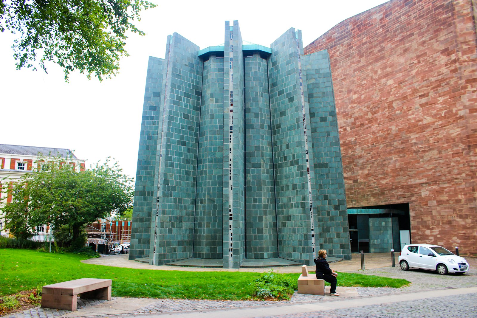
Photo Ebun Oluwole / Unsplash
Places to explore near Coventry
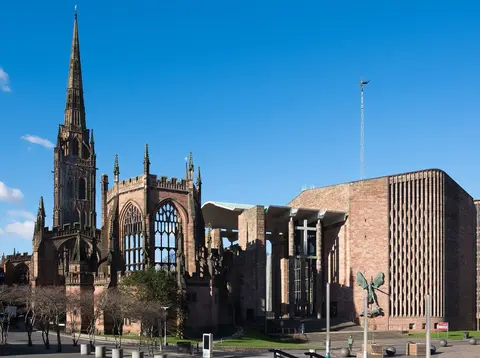
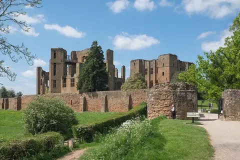
Rebuilt around the shell of its bombed medieval cathedral, Coventry was a city of watchmakers and then car factories, set on the low Warwickshire plateau at the heart of England. The ruined splendour of Kenilworth Castle and the towers of Warwick Castle lie a short way south, and ridge-and-furrow country rolls on to the hillfort and grazing of Burton Dassett. Reed-fringed pools draw birds to Brandon Marsh on the eastern edge, and the honeyed Cotswolds begin within an hour to the south-west.
87 places within 25 km — the standouts first, nearest first within each group. 3 are national icons.
Worth the tripnational icons and local highlights within reach
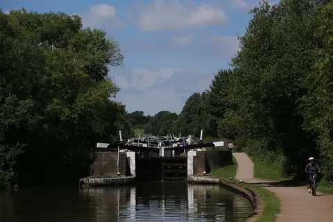
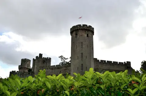
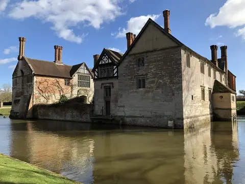
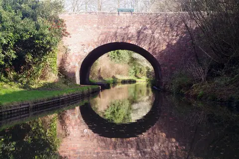

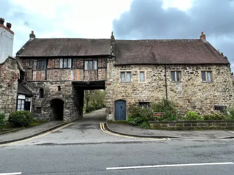
Also nearbygood places nearby, nearest first
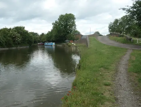
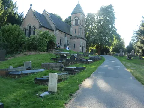
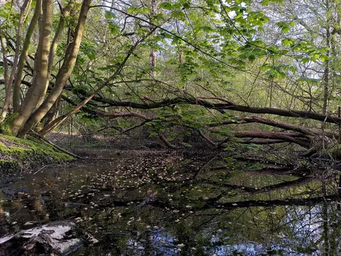
Everything else within 25 km (61) — reserves, earthworks & places to check before travelling
- The Red Lion (Hunningham)Pub11.2 km S
- River BlytheRiver11.4 km W
- Newbold Comyn Country ParkCountry park12.5 km S
- Hilltop Farm ShopFarm & farm shop12.5 km S
- Jephson GardensGarden13.4 km S
- The Cape of Good HopePub14.1 km SW
- The Mill GardenGarden15.1 km S
- Knowle: Children's FieldCountry estate15.2 km W
- The Hatton ArmsPub15.2 km SW
- The Master's GardenGarden15.2 km S
- Hill Close GardensHouse & garden15.3 km S
- St Mary's Priory, CoventrySite of a former prioryaccess unclear0.2 km NE
- Stoney Road AllotmentsHouse & gardenaccess unclear1 km S
- CharterhouseSite of a former preceptoryaccess unclear1.3 km SE
- Allesley CastleEarthworks of a former castleaccess unclear3.7 km W
- Lunt Roman FortRoman archaeological siteaccess unclear3.9 km S
- Caludon CastleCastleaccess unclear4.1 km E
- Baginton CastleCastleaccess unclear4.4 km S
- Herald Way MarshSSSIaccess unclear4.8 km SE
- Combe PoolSSSI5 km E
- Tilehill WoodSSSIaccess unclear5.2 km W
- Brandon MarshSSSIaccess unclear5.5 km SE
- Ryton and Brandon Gravel PitsSSSIaccess unclear5.5 km SE
- Corley CampHillfortaccess unclear6.8 km NW
- Ryton WoodSSSI7.6 km SE
- Corley MoorCounty topaccess unclear7.9 km NW
- Brandon CastleCastleaccess unclear7.9 km SE
- Waverley Wood FarmSSSIaccess unclear8.1 km SE
- Kenilworth AbbeyAbbeyaccess unclear8.4 km SW
- Wolston prioryPrioryaccess unclear8.6 km E
- Wolston Gravel PitSSSIaccess unclear8.7 km SE
- Wood End HillCounty topaccess unclear9.2 km NW
- Castle Farm ringworkEarthworks of a former castleaccess unclear9.5 km NW
- Griff Hill QuarrySSSIaccess unclear10.1 km N
- Arbury HallHouse & gardenaccess unclear10.3 km N
- Berkswell MarshSSSIaccess unclear10.3 km W
- Brinklow CastleEarthworks of a former castleaccess unclear10.4 km E
- Wappenbury Camp hillfortHillfortaccess unclear10.5 km SE
- Astley CastleCastleaccess unclear10.7 km N
- St Mary the Virgin, AstleyChurch10.7 km N
- Ensor's PoolSSSIaccess unclear11.3 km N
- Packington HallHouse & gardenaccess unclear11.9 km NW
- Beausale campHillfortaccess unclear12.4 km SW
- Maxstoke PrioryPrioryaccess unclear12.6 km NW
- Guy's CliffeSSSIaccess unclear12.8 km S
- Preceptory at Temple BalsallPreceptoryaccess unclear13 km W
- Benedictine prioryPrioryaccess unclear13.2 km N
- St Leonard's Priory (Warwickshire)Nunneryaccess unclear13.9 km SW
- Coleshill and Bannerly PoolsSSSIaccess unclear14.1 km NW
- Draycote MeadowsSSSIaccess unclear14.1 km SE
- The Case is AlteredPub14.1 km SW
- Coten End QuarrySSSIaccess unclear14.2 km S
- Bickenhill MeadowsSSSIaccess unclear14.6 km W
- St Sepulchre's PrioryPrioryaccess unclear14.7 km S
- Maxstoke CastleCastleaccess unclear14.9 km NW
- Castle BridgeCastleaccess unclear15 km S
- Collegiate Church of St Mary, WarwickChurch15 km S
- Hoar Park WoodSSSIaccess unclear15.3 km NW
- Illing's TrenchesSSSI15.3 km N
- Hartshill CastleCastle15.4 km N
- Boon's QuarrySSSIaccess unclear15.6 km N
Ordered by how far each place is worth travelling for, then by distance. Distances are straight-line to the nearest edge of each place — paths wind, of course.