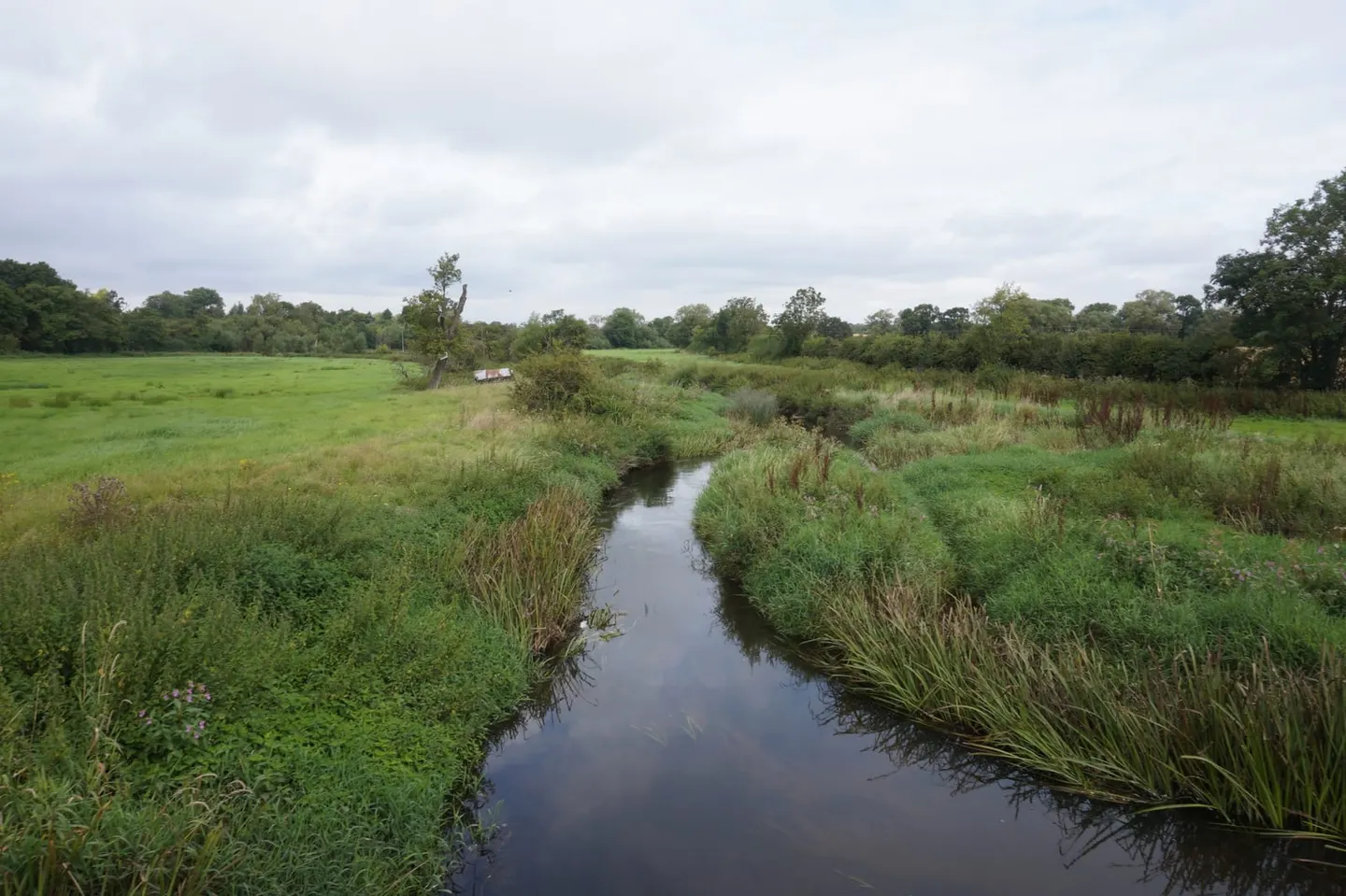
A lowland clay river winding through Warwickshire and Solihull, unusual for never having been straightened
The Blythe rises near Earlswood and runs about twenty-five miles north to the Tame at Coleshill, and the reason it is protected along its whole length is simple: nobody ever got round to straightening it. Almost every other lowland river in the Midlands was dredged, deepened or re-cut for drainage. The Blythe still meanders, still floods its meadows, still piles up gravel on the inside of its bends and eats the outside. Ecologists treat it as a reference for what a Midlands clay river is supposed to look like.
That makes it quietly rich rather than showy — a good head of coarse fish, kingfishers, and flood meadows either side that carry flowers lost from the farmed ground around them.
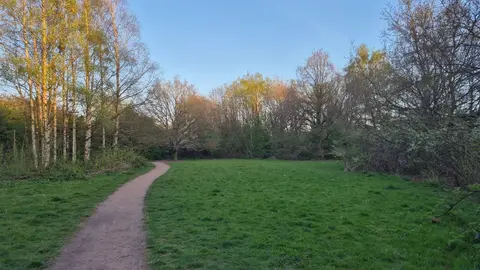
It runs closer to Birmingham than the setting suggests. Footpaths reach the water at several points between Temple Balsall and Coleshill, and Maxstoke Castle, a moated house of the 1340s, sits near the river on the lower reach. Whitacre Heath is a reserve in the valley bottom with hides. Dorridge and Lapworth stations are both close to the upper river.