A 25-mile canal running from the edge of Birmingham through old Forest of Arden country down to Shakespeare's Stratford, and a landmark in canal restoration
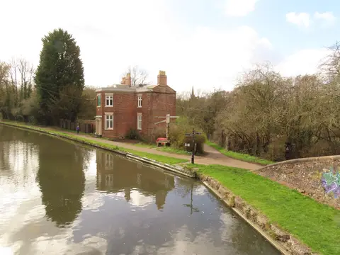
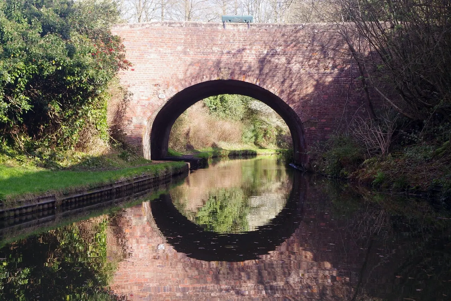
The Stratford-upon-Avon Canal runs about 25 miles from King’s Norton on the southern edge of Birmingham down to Bancroft Basin in the middle of Stratford, right beside the River Avon and the theatres. It drops through 54 locks on the way and was finished in 1816, threading through the quiet farmland and woods of what was once the Forest of Arden. Two features give it away as this canal in particular: the barrel-roofed lock cottages, whose curved roofs were shaped with the same wooden frames the builders used for the canal’s bridges, and the cast-iron split bridges, each with a narrow gap down the middle so a horse could keep pulling while its tow rope dropped through without being unhitched.
The southern half of the canal is the real story. It fell derelict after the war and was close to being written off, until volunteers dug it back out and reopened it in 1964, one of the first big successes in the movement to save Britain’s canals. Boats have run through ever since.
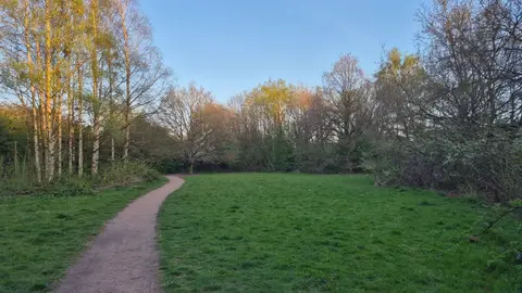
The towpath makes for flat, easy walking, and a good stretch runs around Lapworth, where the canal meets the Grand Union Canal. Two National Trust houses sit within a short walk of the water there, Packwood House and Baddesley Clinton, which makes for an easy day combining a walk with a look round. At its northern end the canal joins the Worcester & Birmingham Canal.