Thirty miles and fifty-eight locks from Gas Street Basin in Birmingham down to the Severn at Worcester, over the Tardebigge flight
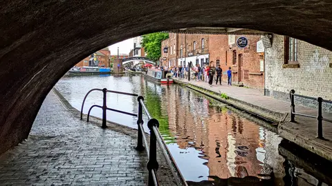
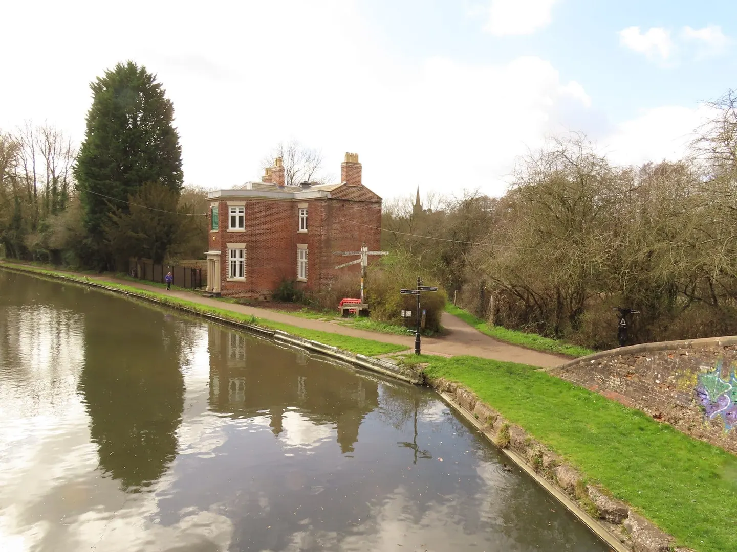
The Worcester & Birmingham Canal runs 30 miles from Gas Street Basin in the centre of Birmingham down to Diglis, where it drops into the River Severn at Worcester. It is a narrow canal with 58 locks, nearly all of them packed into the southern half, and it gives narrowboats from the Birmingham system their most direct way down to the river.
Its defining feature is the descent through Tardebigge. The main flight there drops the canal by thirty locks in a couple of miles, and it is the longest run of narrow locks in the country; with the locks below it, the canal falls all the way to the Severn in a continuous staircase. There are also several long tunnels near the summit, including the one under Tardebigge, so the working days on this canal were slow and heavy.
The canal was authorised in 1791 and took far longer to finish than planned. Money ran short, the tunnels and the great flight of locks were expensive, and it did not open throughout until December 1815, when a stop-lock at Gas Street finally linked it to the older Birmingham canals. It carried coal, grain and, famously, the chocolate traffic of Cadbury’s works at Bournville, which sits beside the water.
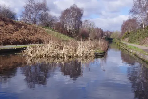
Along the way it connects to the wider network — the Stratford-upon-Avon Canal branches off at Kings Norton, and the restored Droitwich Canals leave near Hanbury for Droitwich and the Severn. The towpath runs the whole length, level except at the locks, and offers an easy walk out of the city into Worcestershire farmland.