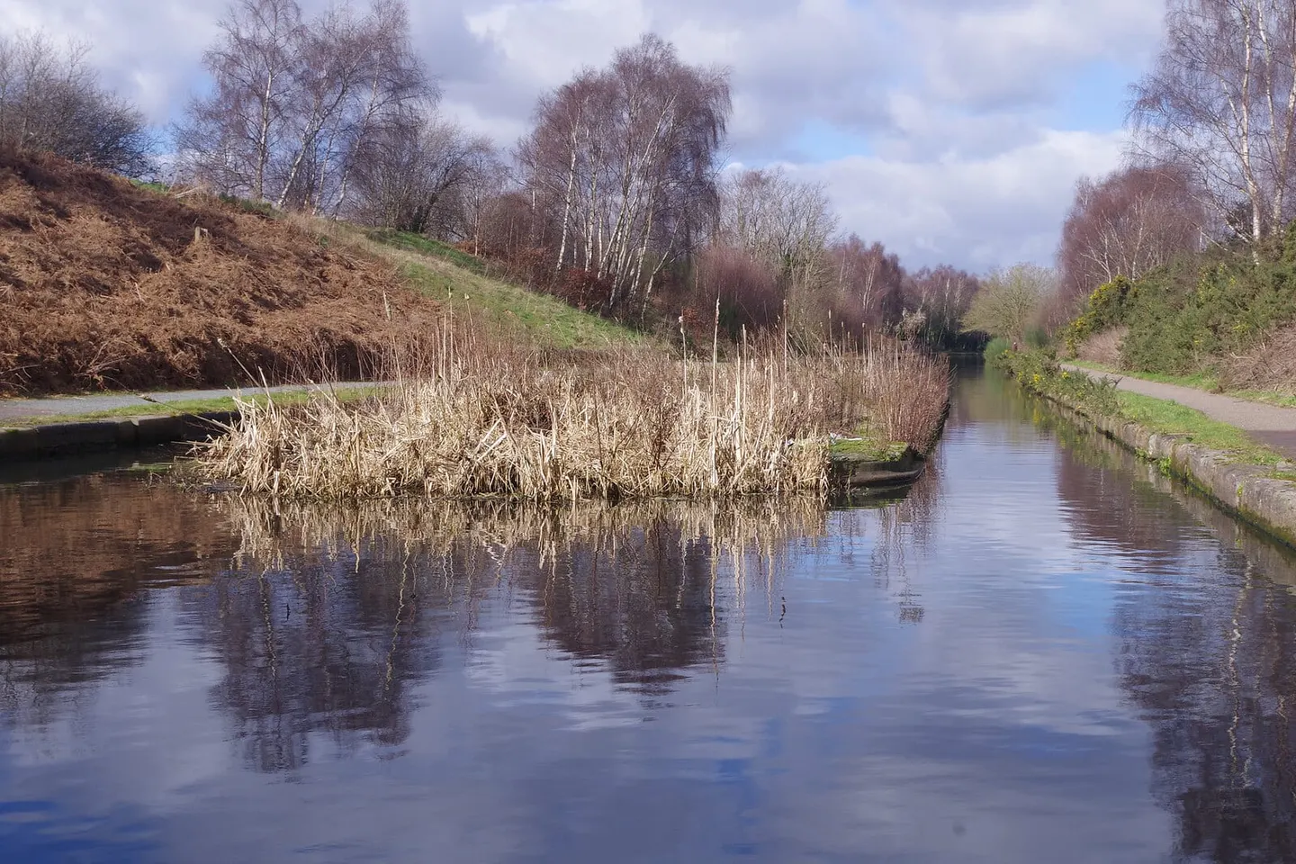
The spine of the Birmingham canal network, running from Gas Street Basin out to Wolverhampton by two rival routes
The Birmingham Canal Main Line is the central artery of the vast Birmingham Canal Navigations, the densest canal network in the country. It runs from Gas Street Basin in the middle of Birmingham to Aldersley Junction at Wolverhampton, where it joins the Staffordshire & Worcestershire Canal. What makes it unusual is that it exists twice over: Brindley’s original winding contour canal of 1772, and Thomas Telford’s straighter, deeper cut laid alongside it half a century later.
Brindley’s line follows the lie of the land in long loops, rising and falling through the locks at Smethwick and Spon Lane over some 22 miles. When traffic outgrew it, Telford was called in during the 1820s and drove a new main line straight through the high ground in a deep cutting, taking roughly seven miles off the journey. His route runs low between high embankments, crossed by fine iron structures such as Galton Bridge, while the old loops branch off it to either side. Both are walkable, and the choice between the direct new line and the meandering old one is part of the appeal.
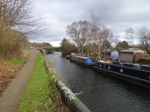
For most of its length this is an urban and post-industrial canal, threading through Smethwick, West Bromwich and the old Black Country works before dropping through the long flight of locks at Wolverhampton to Aldersley. Much of the heavy industry has gone, and the towpaths are now a quiet way across the conurbation.
Because it runs through the built-up heart of the West Midlands, the canal is exceptionally easy to reach: stations and Metro stops sit close to it at many points, making short one-way towpath walks simple to plan.