Places to explore near Birmingham
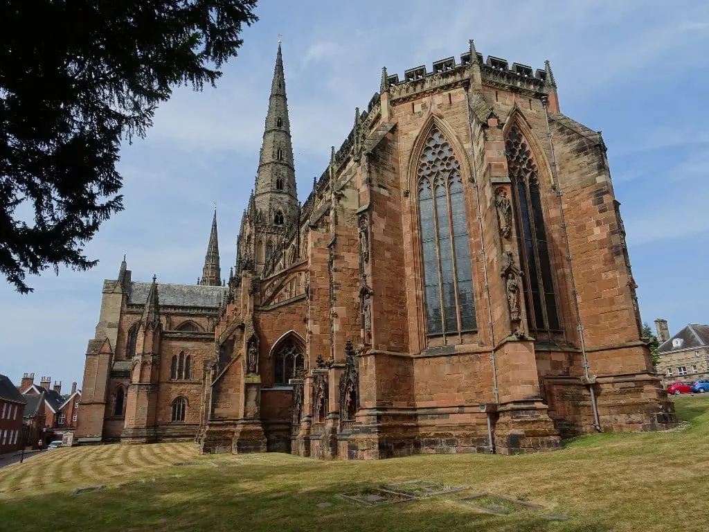
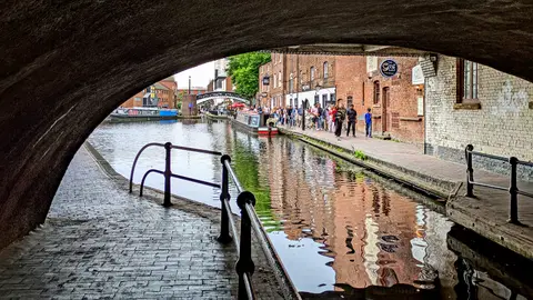
Britain's second city grew on iron, brass and a canal network longer than Venice's — the Birmingham Canal Main Line still threads the centre. For open ground, the Lickey Hills and Clent Hills rise on the south-western edge, Sutton Park keeps 2,400 acres of heath and woodland within the city itself, and Sandwell Valley holds lakes and meadow to the west. Further out, the heath and forest of Cannock Chase offer the nearest real wilderness.
92 places within 25 km — the standouts first, nearest first within each group. 2 are national icons.
Worth the tripnational icons and local highlights within reach

Also nearbygood places nearby, nearest first
Everything else within 25 km (64) — reserves, earthworks & places to check before travelling
- Sandwell Valley Country ParkCountry park5.9 km NW
- Woodgate Valley Country ParkCountry park6.1 km SW
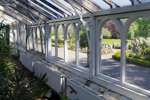
- Castle Bromwich HallHouse & garden7.6 km E
- Sheldon Country ParkCountry park7.8 km E
- Sutton ParkCountry park8.8 km N
- Newhall Valley Country ParkCountry park9.3 km NE
- The LeasowesHouse & garden9.4 km W
- Halesowen AbbeyAbbey10 km SW
- Barr BeaconCounty top10.4 km N
- Frankley BeechesCountry estate10.5 km SW
- The Peacock InnPub11.5 km S
- River BlytheRiver12.3 km SE
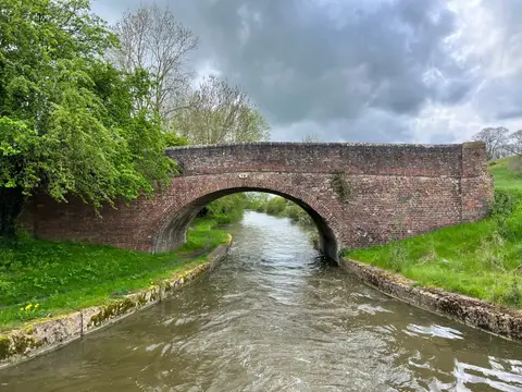
- Wyrley & Essington CanalCanal12.4 km N
- Lickey Hills Country ParkCountry park12.5 km SW
- Waseley Hills Country ParkCountry park12.5 km SW
- Cofton HackettCountry estate12.9 km SW
- Chadwich Manor EstateCountry estate13.7 km SW
- Earlswood Moat HouseAncient site14.3 km S
- Knowle: Children's FieldCountry estate15.3 km SE
- Roughwood Country ParkCountry park15.4 km NW
- Hagley HallHouse & garden15.8 km W
- Heart of England WayLong-distance path16 km E
- Edgbaston PoolSSSIaccess unclear2.9 km SW
- Metchley FortRoman archaeological siteaccess unclear4.1 km SW
- Weoley CastleCastleaccess unclear6.3 km SW
- Sandwell PrioryPriory6.3 km NW
- Bromwich CastleCastleaccess unclear8 km NE
- Berry Mound PasturesSSSIaccess unclear9.2 km S
- Turner's HillCounty topaccess unclear10.3 km W
- Bromsgrove Road Cutting, TenterfieldsSSSIaccess unclear10.3 km W
- Illey PasturesSSSIaccess unclear10.7 km SW
- Hopwood DingleSSSIaccess unclear11 km S
- Hay Head QuarrySSSIaccess unclear11.5 km N
- Cawney HillCounty topaccess unclear11.9 km W
- Bittell ReservoirsSSSIaccess unclear12 km S
- Bickenhill MeadowsSSSIaccess unclear12.2 km SE
- Rednal Hill North TopCounty top12.6 km SW
- Dudley CastleCastleaccess unclear12.8 km W
- Clowes Wood & New Fallings CoppiceSSSIaccess unclear12.8 km S
- Coleshill and Bannerly PoolsSSSIaccess unclear12.8 km E
- Romsley Manor FarmSSSI12.8 km SW
- SaltwellsNational Nature Reserve13 km W
- Monkspath MeadowSSSIaccess unclear13 km SE
- Doulton's ClaypitSSSI13.1 km W
- St James's PrioryPrioryaccess unclear13.2 km W
- Brewin's Canal SectionSSSI13.2 km W
- ColeshillVillage13.2 km E
- Romsley HillSSSIaccess unclear13.3 km SW
- Penorchard & Spring Farm PasturesSSSIaccess unclear13.4 km SW
- Wren's NestNational Nature Reserve13.6 km W
- Daw End Railway CuttingSSSIaccess unclear13.8 km N
- Windmill Naps WoodSSSIaccess unclear14.4 km S
- Walton HillMarilyn14.5 km SW
- Fens PoolsSSSIaccess unclear14.7 km W
- Madeley Heath PitSSSIaccess unclear14.8 km SW
- Stubbers Green BogSSSIaccess unclear14.8 km N
- Whitacre HeathSSSIaccess unclear14.8 km E
- Sling Gravel PitsSSSIaccess unclear14.9 km SW
- Swan Pool & The SwagSSSIaccess unclear15.2 km N
- Barrow Hill And Tansey GreenSSSIaccess unclear15.4 km W
- Maxstoke CastleCastleaccess unclear15.6 km E
- Wychbury RingHillfortaccess unclear15.8 km W
- Jockey FieldsSSSIaccess unclear15.9 km N
- Packington HallHouse & gardenaccess unclear16 km E
Ordered by how far each place is worth travelling for, then by distance. Distances are straight-line to the nearest edge of each place — paths wind, of course.