Following Britain's longest river some 210 miles from its source on Plynlimon down to the tideway at Bristol
Indicative — sampled from open terrain data along the simplified route.
The Severn Way follows the course of the River Severn, Britain’s longest river, from its source high on the Plynlimon plateau in Powys to the tidal estuary near Bristol. It is around 210 miles, and it walks the river from a wet mountain bog at the top to a wide industrial waterway at the bottom, which gives it an unusual sense of a single thing growing as you go. Most walkers allow around three weeks.
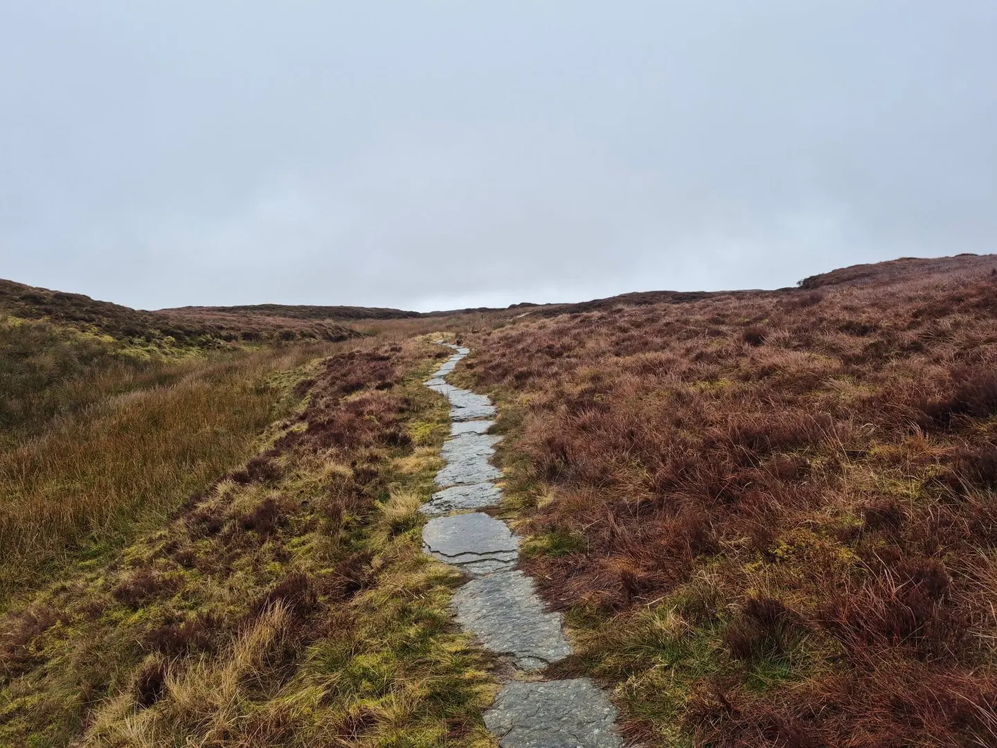
It begins in earnest terrain. The first stretch crosses the exposed uplands of the Cambrian Mountains and drops through the Hafren Forest, hill country where the walking is genuinely demanding and the infant river is little more than a stream. Below that the going eases steadily. The route passes the mid-Wales towns of Llanidloes and Welshpool, crosses into Shropshire at Shrewsbury and the Ironbridge gorge, then settles into long, flat, easy riverbank walking through Worcester, Tewkesbury and Gloucester before reaching the widening estuary and finishing at Bristol. The contrast between the mountain start and the lowland finish is the defining character of the route.
The path was developed by the local authorities and countryside bodies along the river to connect its source with the sea as a continuous walk, and it crosses five counties on the way. Because it keeps to the valley it passes through a run of towns on the rail network, so it lends itself to being walked in sections, and the lower, English half is far gentler than the Welsh beginning.