A hundred and thirty-six miles up the border Wye, from Chepstow to the river's source on Plynlimon
Indicative — sampled from open terrain data along the simplified route.
The Wye Valley Walk follows the River Wye upstream for 136 miles (219 km), from Chepstow near the river’s mouth to its source high on Plynlimon in mid-Wales. This is the long border Wye that rises in the Cambrian Mountains and runs down to the Severn — not the shorter Derbyshire river of the same name. Most walkers take around ten days over it, and it is well within the reach of anyone reasonably fit.
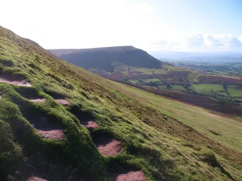
The lower valley, through the wooded limestone gorge below Tintern and Monmouth, is a designated National Landscape and the finest scenery on the walk. Above it the path passes Ross-on-Wye, the cathedral city of Hereford and the book town of Hay-on-Wye, then climbs into emptier country through Builth Wells and Rhayader before the final moorland pull to Plynlimon.
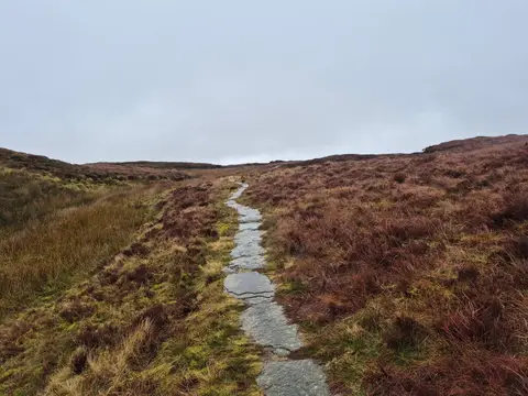
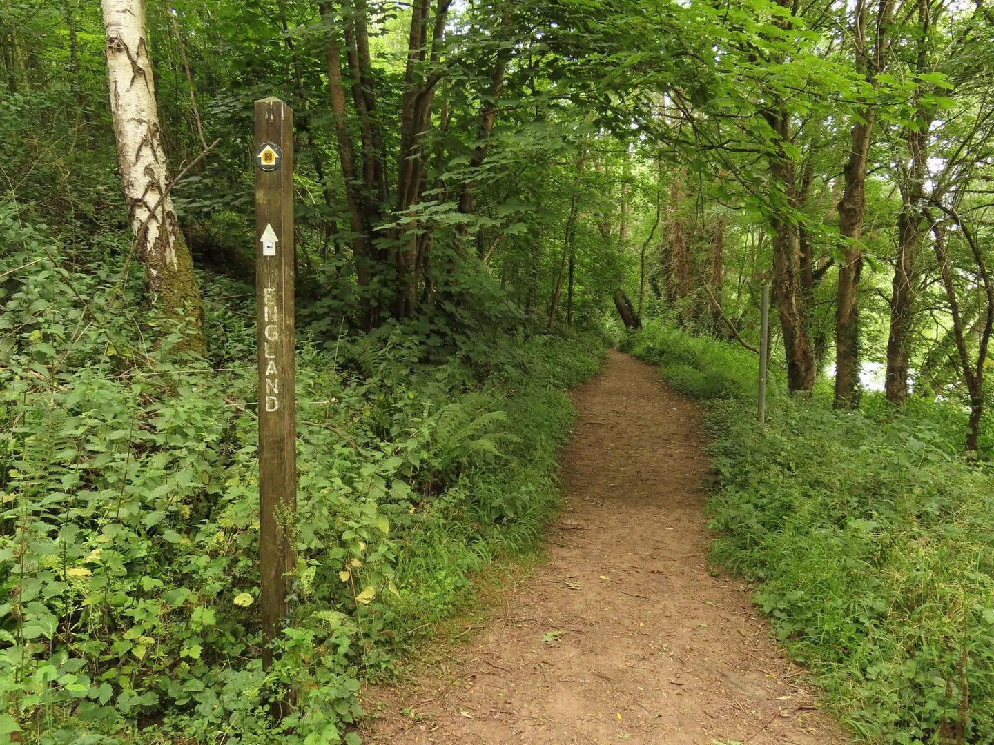
The character changes markedly from end to end — sheltered riverbank and farmland at the start, open upland moor at the finish — but the path keeps close to the river for most of its length, so it is easy to follow and rarely far from a town. In its lower reaches it crosses the England–Wales border repeatedly.
Chepstow and Hereford are on the rail network, and the towns strung along the valley make the walk simple to break into sections. It links existing paths along both banks of the Wye into a continuous route.