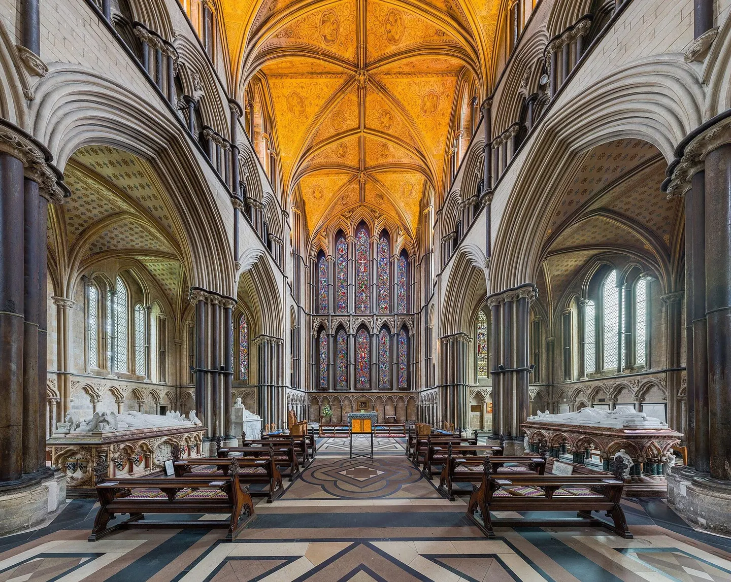
Places to explore near Worcester Foregate Street StationWorcester
45 places within 10 km — the standouts first, nearest first within each group. 1 is a national icon.
Worth the tripnational icons and local highlights within reach

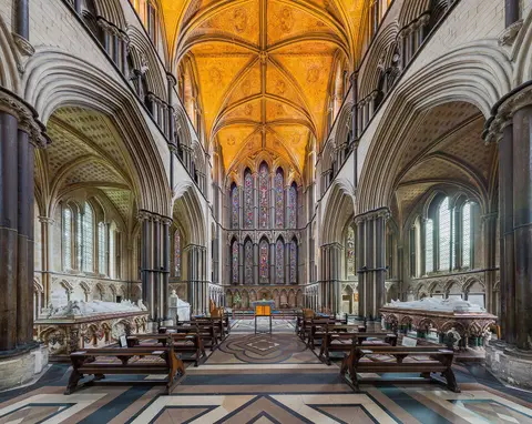
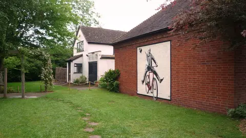
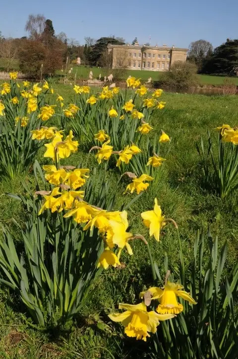
Also nearbygood places nearby, nearest first

Everything else within 10 km (29) — reserves, earthworks & places to check before travelling
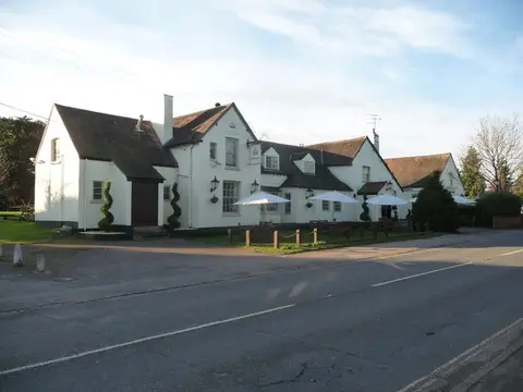
- The Old BushPub6 km S
- Leigh Court BarnLandmark6.7 km W
- Wichenford DovecoteAncient site7.8 km NW
- OmbersleyVillage8.3 km N
- The Holt FleetPub8.4 km N
- Wychavon WayLong-distance path9 km NE
- Lingens Farm Cider and PerryFarm & farm shop9.1 km W
- Geopark WayLong-distance path9.8 km W
- Battle of WorcesterBattlefield2.5 km S
- Northwick MarshSSSIaccess unclear2.9 km NW
- Lyppard Grange PondsSSSIaccess unclear3 km E
- Grimley Brick PitsSSSIaccess unclear4.6 km N
- Hawford Roman campRoman archaeological siteaccess unclear5.1 km N
- Cooksholme MeadowsSSSIaccess unclear5.9 km SE
- Monk Wood (Worcestershire)SSSI6.5 km NW
- Napleton MeadowSSSIaccess unclear6.5 km S
- Monkwood GreenSSSI6.7 km NW
- Oakley PoolSSSIaccess unclear6.7 km NE
- Motte and bailey castle at Castle GreenEarthworks of a former castleaccess unclear7.6 km SW
- Broad GreenSSSI7.9 km W
- Ashmoor CommonSSSI8.1 km S
- Trench WoodSSSIaccess unclear8.1 km NE
- Grange MeadowSSSIaccess unclear8.3 km SW
- Westwood Great PoolSSSIaccess unclear8.3 km N
- The Kings Arms (Ombersley)Pub8.3 km N
- Lower Saleway Farm MeadowsSSSIaccess unclear8.9 km NE
- Aileshurst CoppiceSSSIaccess unclear9 km SW
- Great Blaythorn MeadowSSSIaccess unclear9.2 km SE
- Droitwich SpaVillage9.3 km NE
Ordered by how far each place is worth travelling for, then by distance. Distances are straight-line to the nearest edge of each place — paths wind, of course.