
Photo Nathan Riley / Unsplash
Places to explore in and near Bristol
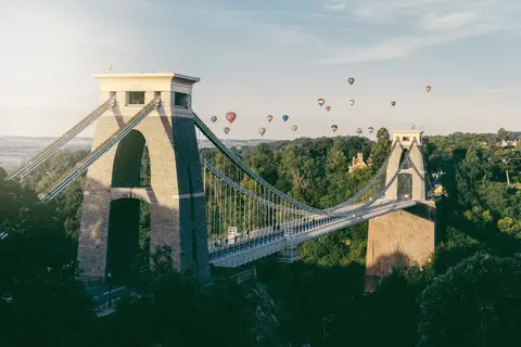
Built where the Avon carves its limestone gorge, Bristol traded its way to wealth as a port and shipped Brunel's engineering to the world. The Avon Gorge splits the city's western edge, its cliffs looming over the river and the wooded slopes of Leigh Woods opposite. South rise the Mendip Hills, riddled with caves and cleft by the ravine at Cheddar Gorge, while the still water of Chew Valley Lake draws anglers and birdwatchers beneath them.
19 places sit inside Bristol itself. Beyond the city, 90 places within 25 km — the standouts first, nearest first within each group. 2 are national icons.
In Bristol itselfinside the city boundary, nearest first
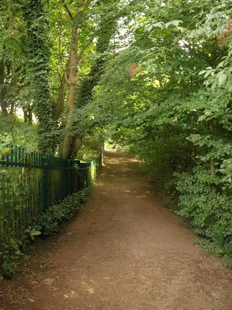
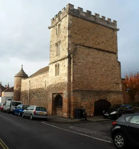
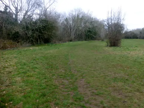
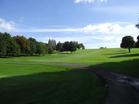
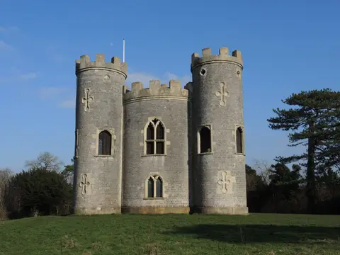
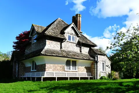
Everything else in Bristol (8) — reserves, earthworks & places to check before travelling
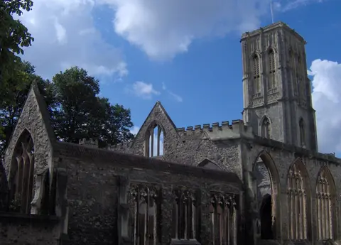
- Partial remains of Bristol CastleCastleaccess unclear0.2 km N
- Goldney HallHouse & gardenaccess unclear1.8 km W
- Quarry Steps, Durdham DownSSSIaccess unclear2.6 km NW
- Druid Stoke burial chamberChambered tombaccess unclear4.5 km NW
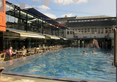
- Henleaze LakeSwimming spot4.7 km N
- Brislington House parkHouse & gardenaccess unclear4.8 km SE
- Horseshoe Bend, ShirehamptonSSSIaccess unclear6.1 km NW
- Pen Park HoleSSSIaccess unclear6.3 km N
Worth the tripnational icons and local highlights within reach

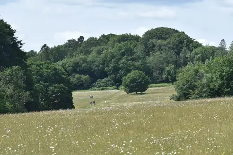
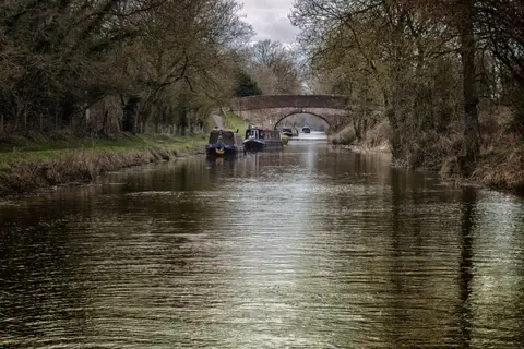
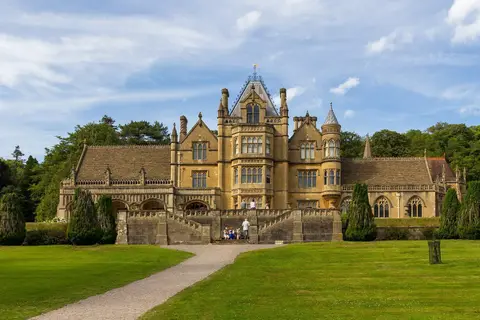
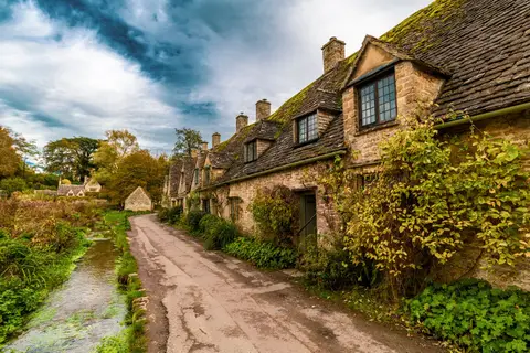
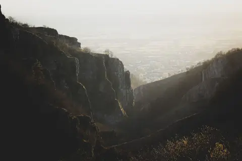
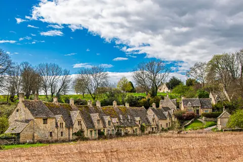
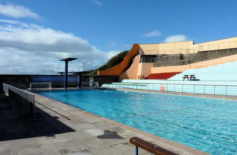
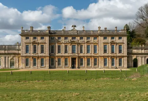
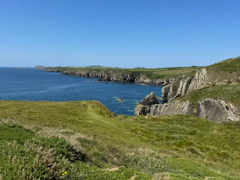
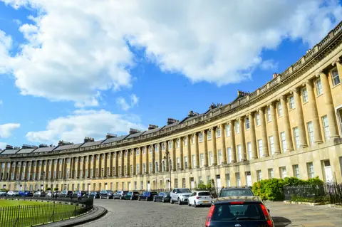
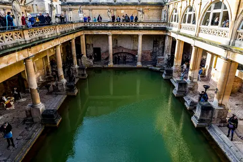
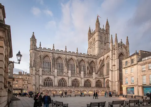
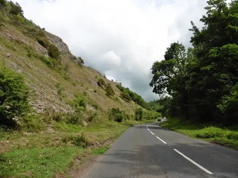
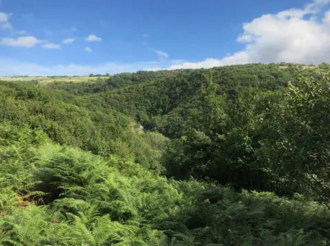
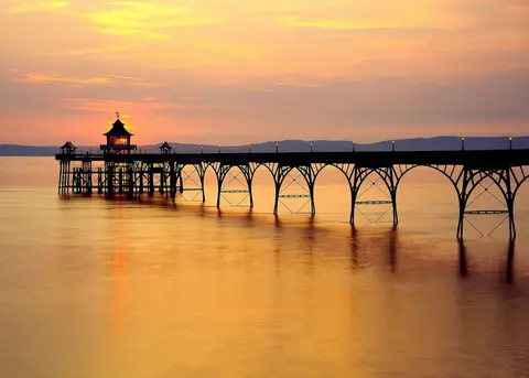
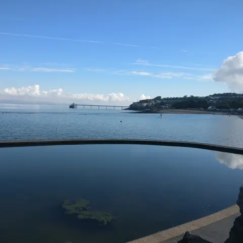
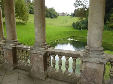
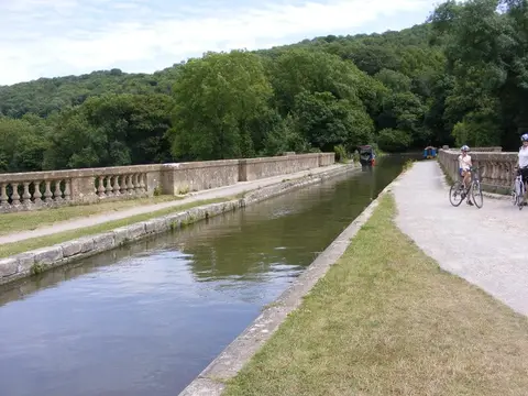
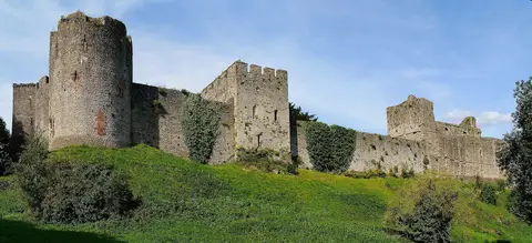
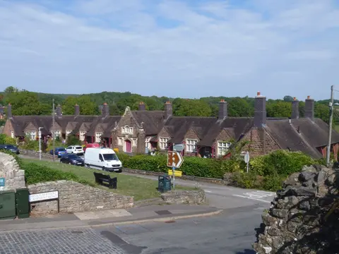
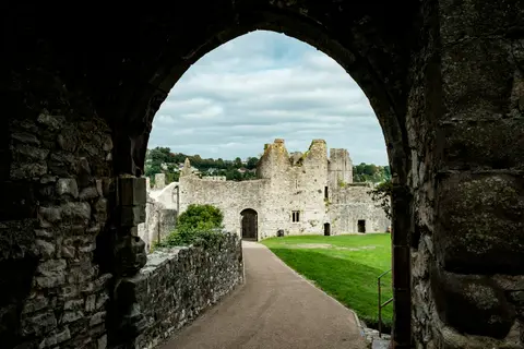
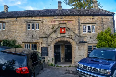
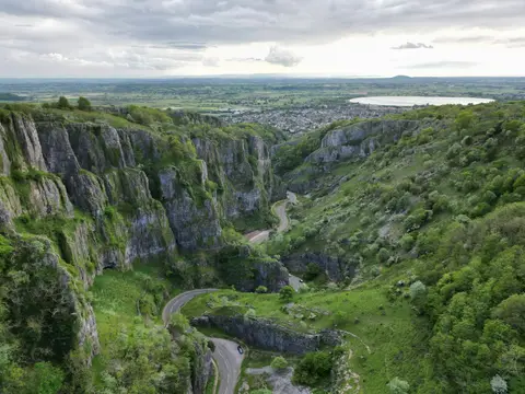
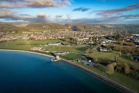
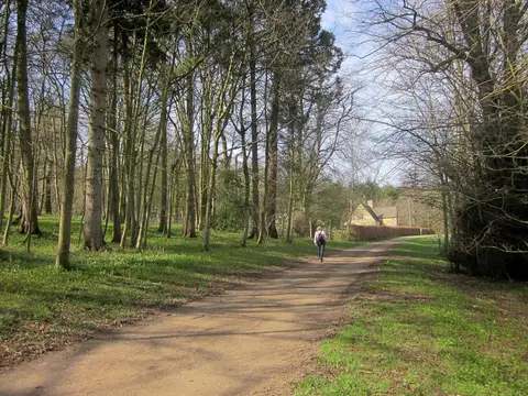
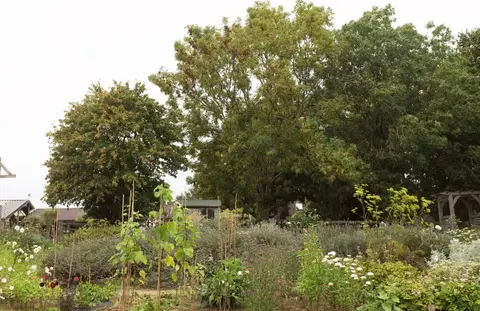
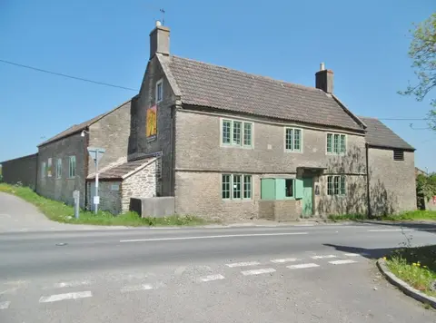
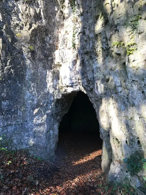
Also nearbygood places nearby, nearest first

Everything else within 25 km (43) — reserves, earthworks & places to check before travelling
- Limestone LinkLong-distance path14.4 km S
- Avon GorgeSSSI2.5 km W
- Ashton CourtSSSI2.8 km W
- Stokeleigh CampPromontory fort3.3 km W
- Bickley WoodSSSIaccess unclear5.2 km SE
- Ham GreenSSSIaccess unclear6 km NW
- Maes KnollCounty topaccess unclear6.1 km S
- Cleeve Wood, HanhamSSSIaccess unclear6.6 km SE
- Dundry DownMarilynaccess unclear7.3 km SW
- Severn EstuarySSSI7.7 km NW
- Barns Batch SpinneySSSIaccess unclear7.8 km SW
- Dundry Main Road South QuarrySSSIaccess unclear7.9 km S
- Bury HillfortHillfortaccess unclear8.6 km NE
- Hartcliff Rocks QuarrySSSIaccess unclear8.9 km SW
- Winterbourne Railway CuttingSSSIaccess unclear8.9 km NE
- Hautville's QuoitStanding stoneaccess unclear9.2 km S
- ConygarHillfortaccess unclear9.6 km W
- Stidham FarmSSSIaccess unclear9.7 km SE
- Stanton Drew south-west circleStone circleaccess unclear9.9 km S
- Lulsgate QuarrySSSIaccess unclear10.1 km SW
- Cattybrook BrickpitSSSIaccess unclear10.2 km N
- Congrove Field and The TumpsSSSI12.2 km E
- The Old Crown InnPub12.2 km SE
- Folly FarmSSSIaccess unclear12.4 km S
- Portishead Pier to Black NoreSSSIaccess unclear12.5 km W
- Tickenham, Nailsea and Kenn MoorsSSSIaccess unclear12.6 km W
- Hanging HillCounty top12.7 km E
- Kelston ParkHouse & gardenaccess unclear12.7 km SE
- Tap's Combe CampHillfortaccess unclear12.8 km SW
- Plaster's Green MeadowsSSSIaccess unclear13.1 km SW
- Newton ParkHouse & gardenaccess unclear13.3 km SE
- Battle of Lansdown (Hill)Battlefield13.3 km E
- Weston Big WoodSSSIaccess unclear13.4 km W
- Newton St Loe CastleCastleaccess unclear13.5 km SE
- Brockley Hall StablesSSSIaccess unclear13.5 km SW
- Goblin CombeSSSIaccess unclear13.7 km SW
- Cadbury CampHillfort13.8 km W
- Burledge Sidelands and MeadowsSSSI13.8 km S
- Weston-in-GordanoSSSIaccess unclear13.9 km W
- Newton St. LoeSSSIaccess unclear14 km SE
- Nightingale ValleySSSIaccess unclear14.3 km W
- Burledge HillHillfortaccess unclear14.5 km S
- Gordano ValleyNational Nature Reserve14.6 km W
Ordered by how far each place is worth travelling for, then by distance. Distances are straight-line to the nearest edge of each place — paths wind, of course.