Eighty-seven miles of towpath from the Thames at Reading to the Bristol Avon, over the chalk by the Caen Hill locks
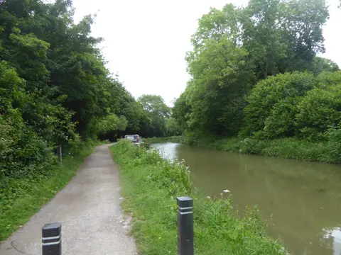
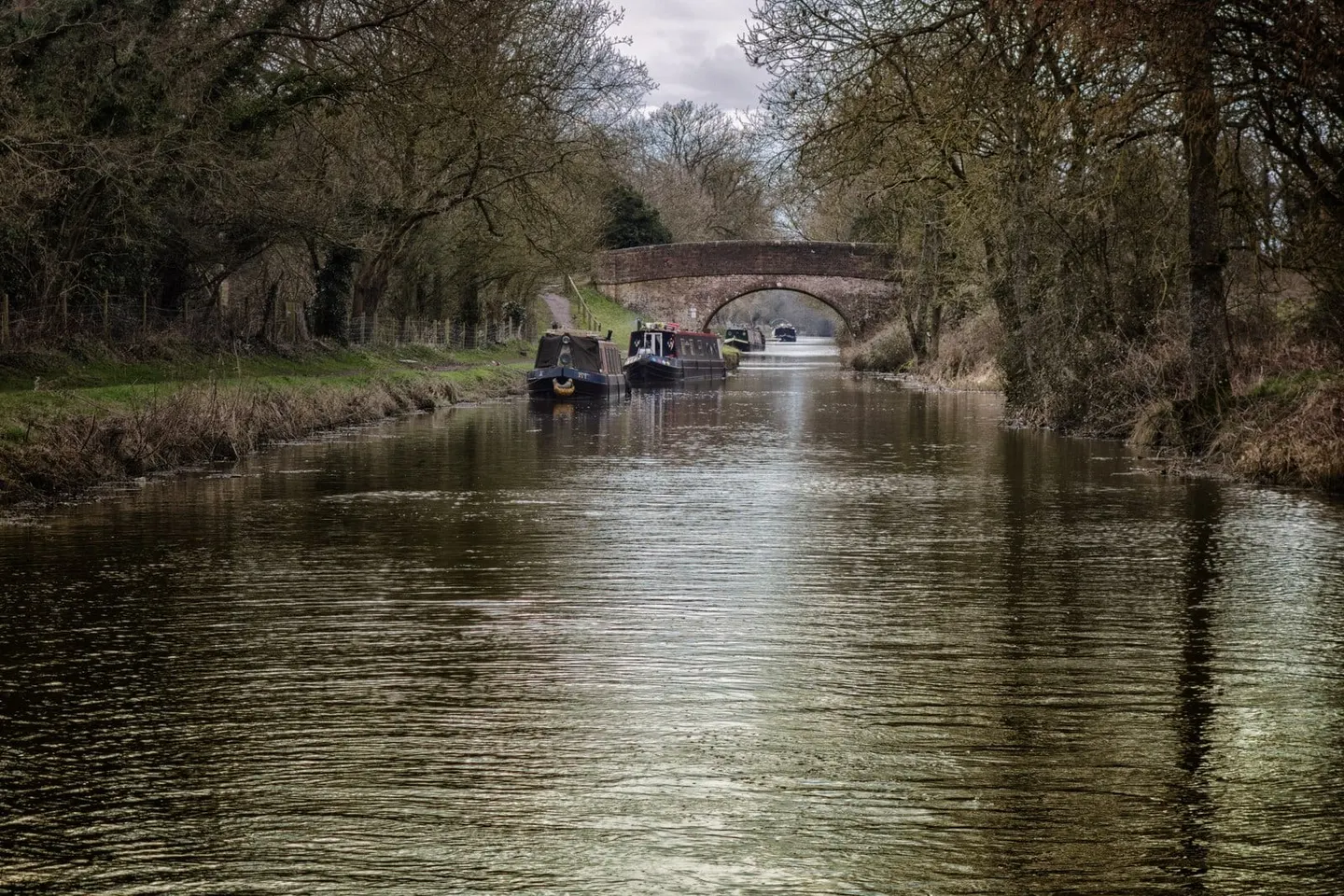
The Kennet & Avon is really three waterways joined into one: the navigable River Kennet from Reading, a canal across the Wiltshire chalk, and the River Avon down into Bristol. Together they run 87 miles across southern England, engineered by John Rennie and opened in 1810. For a walker or cyclist the towpath is flat, continuous and mostly well surfaced, which makes it one of the easiest long routes in the country to follow. At its eastern end, at Reading, it meets the Thames: the towpath joins the Thames Path there, and the river itself connects onward, so a continuous London-to-Bristol journey — on foot or afloat — is within reach for anyone with the time for it.
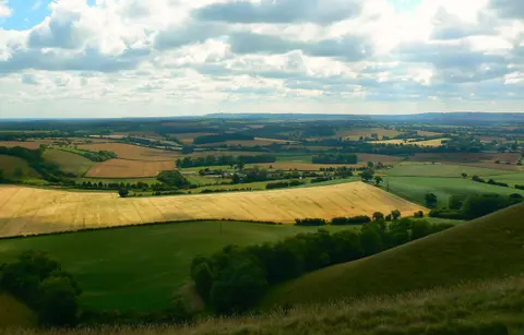
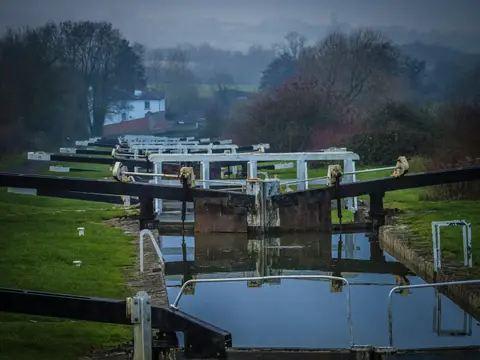
Its landmark is the Caen Hill flight at Devizes, a staircase of 29 locks that lifts the canal 237 feet in a little over two miles — best seen from the towpath, where the whole flight opens out ahead of you. Elsewhere Rennie carried the canal over the river valleys on the Dundas and Avoncliff aqueducts, both fine stone structures, and through the short Bruce Tunnel near the summit.
Like most English canals it fell derelict once the railways took its trade, and by the mid-20th century much of it was unnavigable. It was restored in stages over several decades, a great deal of the work done by volunteers, and reopened throughout in 1990. That recovery is part of what you pass today.
The canal is easy to reach and to leave. It runs through or beside Reading, Newbury, Hungerford, Pewsey, Devizes, Bradford-on-Avon and Bath, several of them on the main line to the West Country, so a section can be walked point to point using the train. Bath and Bradford-on-Avon make the most scenic stretch; the Wiltshire downs in the middle are the quietest.