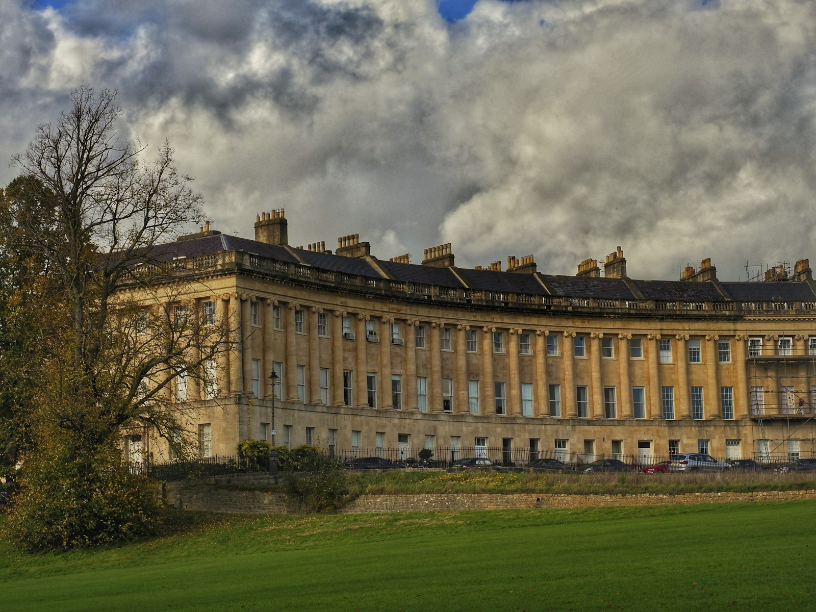
Photo Bradley Pritchard Jones / Unsplash
Places to explore near Bath
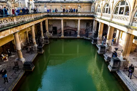
Bath grew up where hot springs rise through the limestone, drawing visitors since the Romans built the Roman Baths over the sacred spring. The Georgian city that followed — honey-coloured terraces, the Royal Crescent, the Circus and Pulteney Bridge — is a World Heritage Site in its own right. It sits in a bowl of the southern Cotswolds on the River Avon, with the Mendip Hills and the Somerset Levels close at hand.
102 places within 25 km — the standouts first, nearest first within each group. 5 are national icons.
Worth the tripnational icons and local highlights within reach



Also nearbygood places nearby, nearest first
Everything else within 25 km (49) — reserves, earthworks & places to check before travelling
- Quoins Organic VineyardVineyard8.6 km SE
- Westwood ManorHouse & garden8.7 km SE
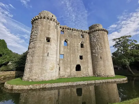
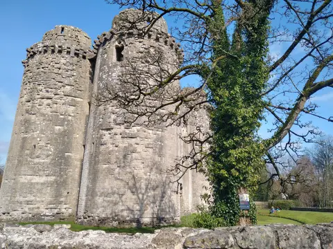
- Farleigh Hungerford CastleCastle8.8 km SE
- Norton St PhilipVillage8.8 km S
- The George Inn (Norton St Philip)Pub9.3 km S
- Great Chalfield Manor and GardenHouse & garden11.3 km E
- The Courts GardenHouse & garden11.4 km E
- North Road Quarry, BathSSSIaccess unclear1.7 km E
- Bathampton CampHillfortaccess unclear2.5 km E
- Combe Down and Bathampton Down MinesSSSIaccess unclear2.5 km E
- Hampton Rocks CuttingSSSIaccess unclear3.3 km NE
- Little Solsbury HillHillfort3.6 km NE
- Culverhay CastleCastleaccess unclear3.6 km SW
- Newton St. LoeSSSIaccess unclear3.6 km W
- Midford Valley WoodsSSSIaccess unclear3.8 km SE
- Brown's FollySSSIaccess unclear4.1 km E
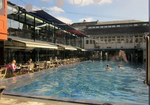
- Aether SaunaSauna4.2 km E
- Inwood, WarleighSSSI4.8 km SE
- Kelston ParkHouse & gardenaccess unclear5.1 km W
- Newton ParkHouse & gardenaccess unclear5.6 km W
- The Old Crown InnPub5.6 km NW
- Newton St Loe CastleCastleaccess unclear5.7 km W
- Monkswood ValleySSSI5.7 km N
- Winsley MinesSSSIaccess unclear5.9 km SE
- St Catherine's CourtHouse & gardenaccess unclear6 km NE
- Congrove Field and The TumpsSSSI6 km NW
- Hinton PrioryPrioryaccess unclear6.3 km SE
- Hanging HillCounty top6.4 km NW
- St. Catherine's ValleySSSI6.4 km N
- Cleaves WoodSSSIaccess unclear6.7 km S
- Correrie or lower house to Hinton PriorySite of a former prioryaccess unclear6.9 km SE
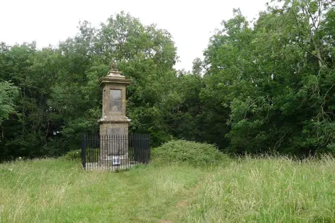
- Battle of Lansdown (Hill)Battlefield7 km N
- Stidham FarmSSSIaccess unclear7.3 km NW
- Bradford-on-Avon Roman VillaRoman archaeological siteaccess unclear7.5 km SE
- Hinton Charterhouse FieldSSSIaccess unclear7.5 km S
- Belcombe CourtHouse & gardenaccess unclear7.6 km SE
- Hinton Charterhouse PitSSSIaccess unclear7.8 km S
- Gripwood QuarrySSSIaccess unclear8.3 km SE
- St Laurence's Church, Bradford-on-AvonChurch8.3 km SE
- Tunley CampHillfortaccess unclear8.7 km SW
- Box MineSSSIaccess unclear8.9 km NE
- River Frome at Farleigh HungerfordSwimming spot9 km SE
- Cleeve Wood, HanhamSSSIaccess unclear10.3 km NW
- WrithlingtonSSSIaccess unclear10.6 km SW
- Colerne Park and Monk's WoodSSSIaccess unclear11.1 km NE
- Bury Wood CampHillfortaccess unclear11.4 km NE
- Bickley WoodSSSIaccess unclear11.5 km NW
- Corsham Railway CuttingSSSIaccess unclear11.7 km NE
- Honeybrook FarmSSSIaccess unclear11.7 km NE
Ordered by how far each place is worth travelling for, then by distance. Distances are straight-line to the nearest edge of each place — paths wind, of course.