A limestone upland riddled with caves and gorges, an easy high point, and old lead-mining country on top
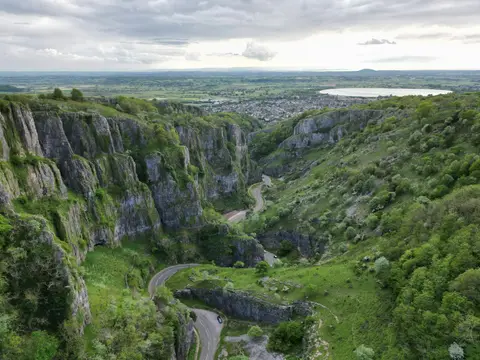
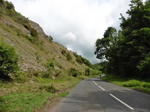
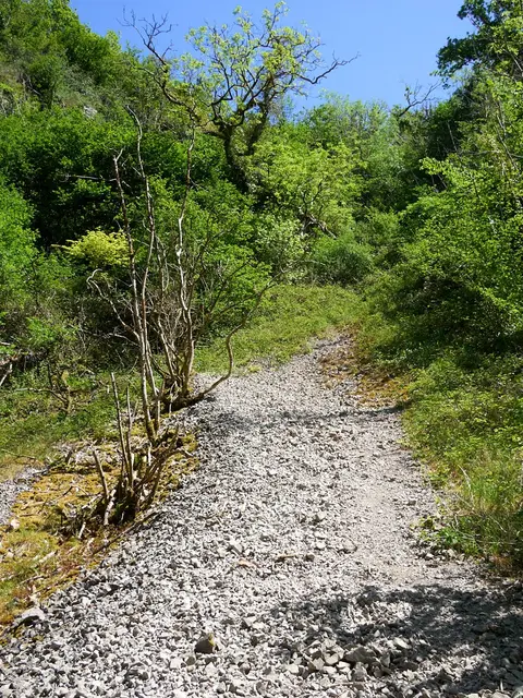
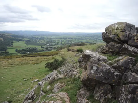
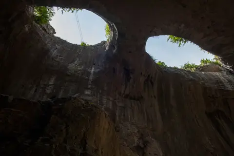
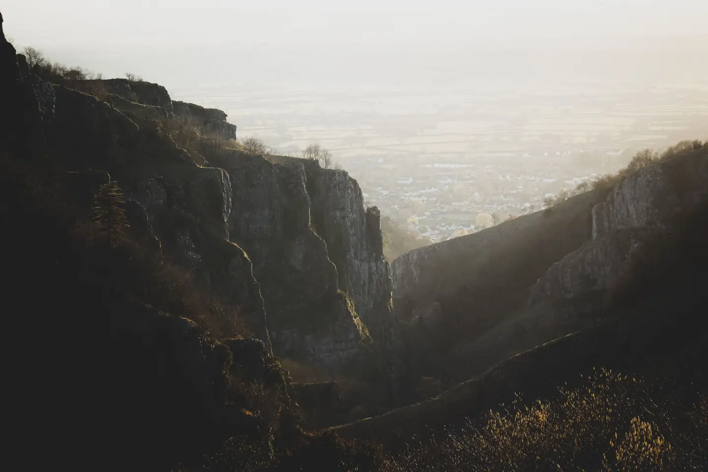
The Mendips are a broad ridge of carboniferous limestone, and limestone means water going underground. The hills are full of caves, swallets and gorges, cut by streams that vanish into the rock. That is why places like Banwell Caves exist, and why the plateau above stays drier than you would expect for high ground.
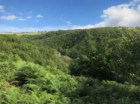
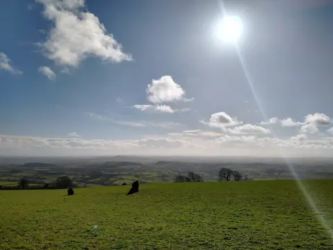
The National Landscape covers 198 square kilometres. Its highest point is Beacon Batch on Black Down, an open heather top with wide views over the Bristol Channel and the Somerset Levels. People have mined lead up here since Roman times, and you can still spot the lumpy ground their old diggings left behind.
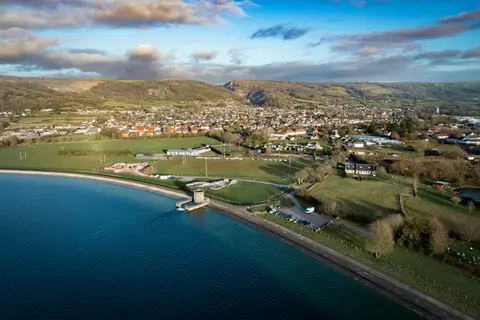
Down on the northern flank, Blagdon Lake is a reservoir that is good for birds and quiet waterside walks. The Monarch’s Way long-distance path crosses the hills. This is easy walking country, though the tops can turn bleak and windswept.