Thirty-six miles joining the Cotswold and Mendip limestone, from Cold Ashton to Shipham south of Bath
Indicative — sampled from open terrain data along the simplified route.
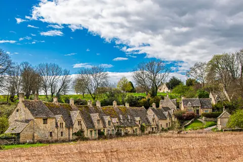
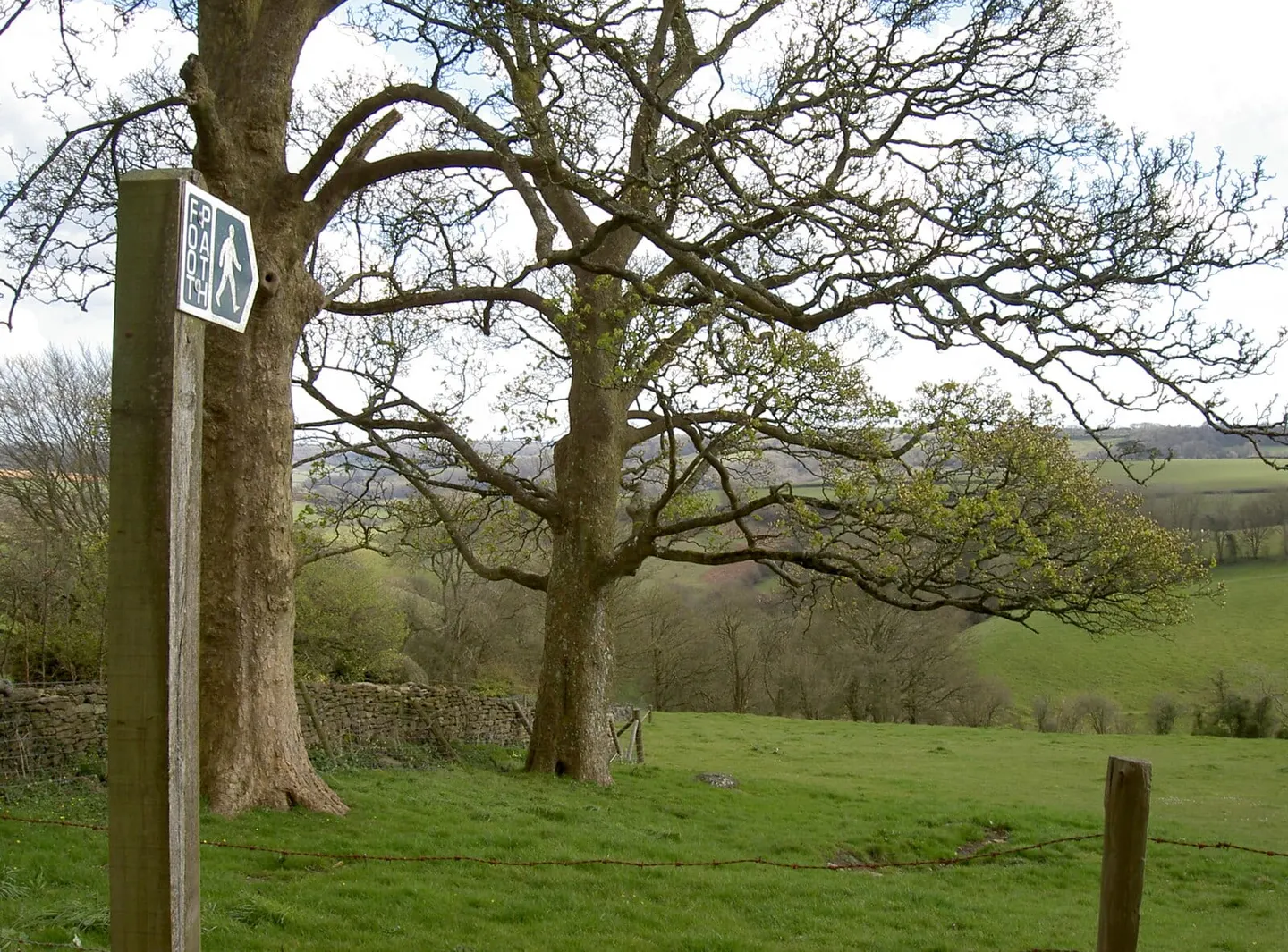
The Limestone Link runs 36 miles between two bands of limestone hill, connecting the Cotswold Way at Cold Ashton, north of Bath, to the Mendip Way at Shipham on the southern side of the county. It is a joining route, laid out so that the two longer trails can be walked as one, and it is marked along its length by an ammonite waymark, a nod to the fossils found in the rock it crosses.
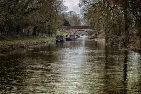
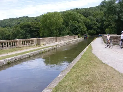
Between the two ends it works south through the quiet valleys and villages of Somerset below Bath. It picks up the River Avon and the Kennet & Avon Canal near the Dundas Aqueduct, follows the towpath for a stretch, then climbs away through farmland towards the northern slopes of the Mendips, passing above the reservoir villages of Blagdon and Compton Martin before dropping to Shipham. Except for the ascent at each end, most of the walking is level and undemanding, and it can be done comfortably in two or three days.
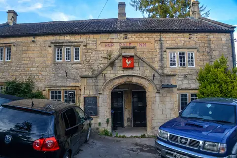
The route was walked out and written up by the Yatton Ramblers, who first published a guide to it in 1989. It has no great single landmark of its own; its point is the connection it makes, tying the Cotswold and Mendip hills into a continuous line of limestone country across the Bath countryside. Several of the villages it passes have buses to Bath, which is the natural place to start or finish from, being the nearest town on the railway.