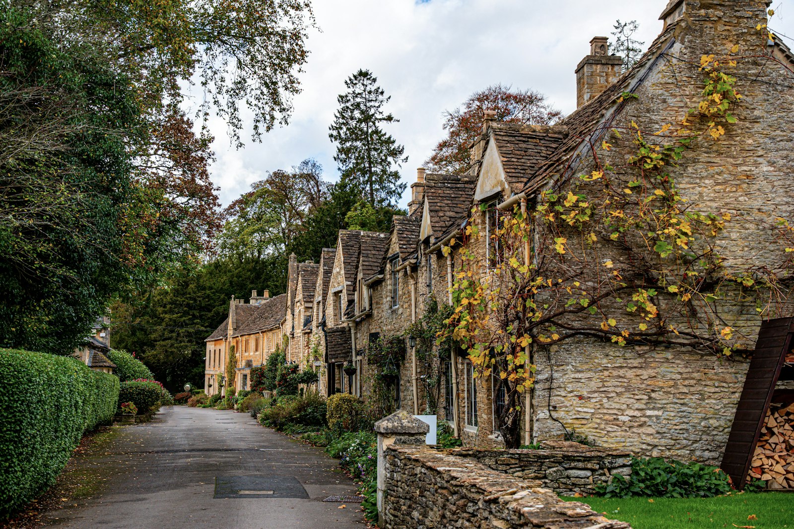
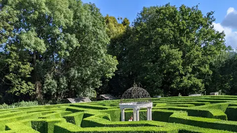
Photo George Ciobra / Unsplash
Places to explore in GloucestershireEngland · South West England
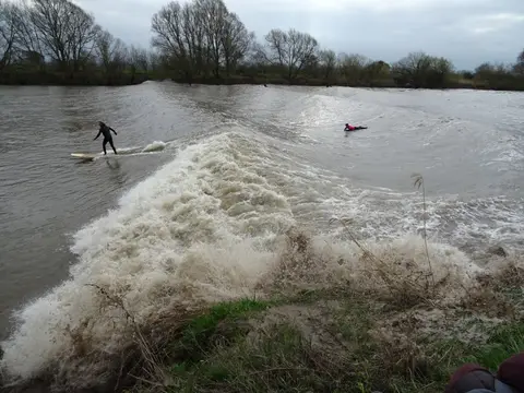
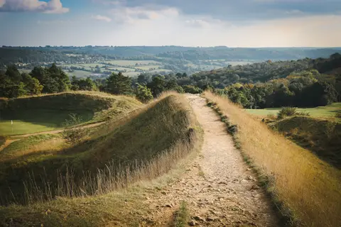
Three distinct countries meet in Gloucestershire. The oolitic limestone of the Cotswolds rises in a long west-facing scarp, its honey-stone villages at Bibury and Chipping Campden among the most visited in England. Below runs the Vale of the Severn, where the Severn Bore pushes upriver on the biggest tides, and beyond the river the ancient oaks of the Forest of Dean climb towards Wales. The Romans left villas across the wolds, including the mosaics at Chedworth Roman villa, and the Cotswold Way traces the length of the scarp.
The best of Gloucestershireworth the trip
Villages & towns in Gloucestershire 35
Other sights in Gloucestershire 15
Houses & gardens in Gloucestershire 38
- Barnsley House0.01 km²
- Dyrham Park1.1 km²
- Westonbirt Arboretum5 km²
- Batsford Arboretum1.1 km²
- Berkeley Castle2 km²
- Hidcote Manor Garden0.06 km²
- Kiftsgate Court Gardens0.27 km²
- Owlpen Manor0.01 km²
- Painswick Rococo Garden0.24 km²
- Sezincote House and Garden0.82 km²
- Sudeley Castle Gardens0.54 km²
- Snowshill Manor and Garden
- Bourton House Garden
- Lydney Park Gardens
- Mill Dene Garden
Show all 38 houses and gardens in Gloucestershire
- Highnam Court0.39 km²
- Newark Park0.6 km²
- Rodmarton Manor0.05 km²
- Westbury Court Garden0.02 km²
- Badminton House7.6 km²
- Frampton Court0.15 km²
- Miserden Park Gardens0.98 km²
- Cerney House Gardens
- Horton Court
- Little Fleece
- Abbotswood0.92 km²
- Cirencester Park11 km²
- Cowley Manor0.61 km²
- Daylesford House1.2 km²
- Lodge Park1.5 km²
- Stancombe Park0.27 km²
- Stanway House1.4 km²
- Adlestrop Park and House0.75 km²
- Barnsley Park1.5 km²
- Barrington Park1.5 km²
- Dodington House2.4 km²
- Lypiatt Park1.2 km²
- Tortworth Court1.5 km²
Pubs & restaurants in Gloucestershire 23
- Lords of the Manor
- Masons Arms
- MO at Dormy House
- Red Lion (The Pantry)
- The Bell Inn (Selsley)
- The Crown
- The Feathered Nest
- The Fox at Oddington
- The Greenway Hotel and Spa
- The Kings Head
- The Lion Inn
- The Woolpack Inn (Slad)
- The Bell at Sapperton
- The Hollow Bottom
- The King's Head Inn
Show all 23 pubs and restaurants in Gloucestershire
Trails in Gloucestershire 16
- Cotswold Way164 km
- Thames Path298 km
- Macmillan Way467 km
- Monarch's Way1006 km
- Offa's Dyke Path285 km
- King Charles III England Coast Path4345 km
- Severn Way337 km
- Geopark Way175 km
- Heart of England Way167 km
- Wye Valley Walk219 km
- Diamond Way105 km
- Gloucestershire Way151 km
- Limestone Link58 km
- Oxfordshire Way108 km
- Winchcombe Way68 km
Show all 16 trails in Gloucestershire
- Wysis Way88 km
Protected landscapes in Gloucestershire 3
- Cotswolds2,041 km²
- Malvern Hills107 km²
- Wye Valley327 km²
Nature reserves in Gloucestershire 148
- The Malvern Hills7.5 km²
- WWT Slimbridge
- Woodchester Park2.3 km²
- Crickley Hill Country Park0.57 km²
- Keynes Country Park0.43 km²
- Robinswood Hill Country Park0.99 km²
- Neigh Bridge Country Park0.08 km²
- Ebworth
- Littleworth Wood
- Haresfield Beacon0.01 km²
- Wotton Hill0.26 km²
- Severn Estuary100 km²
- Barnsley Warren0.61 km²
- Cleeve Common4.6 km²
- Lower Woods2.8 km²
Show all 148 nature reserves in Gloucestershire
- Minchinhampton Common1.9 km²
- Nagshead1.3 km²
- Rodborough Common1.1 km²
- Severn Ham, Tewkesbury0.72 km²
- Shorn Cliff and Caswell Woods0.69 km²
- St. Catherine's Valley1.6 km²
- Upham Meadow and Summer Leasow1.1 km²
- Upper Severn Estuary15 km²
- Upper Wye Gorge2.5 km²
- Walmore Common0.6 km²
- Cotswold Commons and Beechwoods4.1 km²
- The Cheltenham Escarpment0.6 km²
- Ashleworth Ham1.1 km²
- Bourton Down0.11 km²
- Box Farm Meadows0.08 km²
- Brassey Reserve and Windrush Valley0.18 km²
- Buckshraft Mine and Bradley Hill Tunnel0.06 km²
- Bull Cross, The Frith and Juniper Hill0.41 km²
- Collinpark Wood0.67 km²
- Congrove Field and The Tumps0.14 km²
- Coombe Hill0.16 km²
- Crickley Hill and Barrow Wake0.56 km²
- Daneway Banks0.17 km²
- Dingle Wood0.1 km²
- Dymock Woods0.55 km²
- Edge Common0.21 km²
- Frampton Pools0.61 km²
- Hawkesbury Meadow0.03 km²
- Hornsleasow Roughs0.29 km²
- Lower Wye Gorge0.66 km²
- Meezy Hurst0.04 km²
- Midger0.59 km²
- Monkswood Valley0.31 km²
- Oakenhill Railway Cutting0.01 km²
- Old Bow and Old Ham Mines0.41 km²
- Poor's Allotment0.29 km²
- Puddlebrook Quarry0.01 km²
- Robin's Wood Hill Quarry0.02 km²
- Rough Bank, Miserden0.09 km²
- Scully Grove Quarry0 km²
- Selsley Common0.4 km²
- Slade Brook0.04 km²
- Soudley Ponds0.06 km²
- Speech House Oaks0.17 km²
- Stinchcombe Hill0.26 km²
- Strawberry Banks0.05 km²
- Swift's Hill0.1 km²
- Tudor Farm Bank0.04 km²
- Upton Coombe0.08 km²
- Westbury Brook Ironstone Mine0.16 km²
- Wigpool Ironstone Mine0.35 km²
- Yarley Meadows0.11 km²
- Highbury Wood0.46 km²
- Lady Park Wood0.45 km²
- The Hudnalls0.3 km²
- Alderton Hill Quarry0 km²
- Astridge Wood0.19 km²
- Aust Cliff0.06 km²
- Badgeworth0.03 km²
- Barnhill Quarry0.03 km²
- Barton Bushes0.06 km²
- Bickley Wood0.09 km²
- Bigsweir Woods0.49 km²
- Bishop's Hill Wood0.3 km²
- Blaisdon Hall0 km²
- Bodkin Hazel Wood0.11 km²
- Boxwell0.05 km²
- Brinkmarsh Quarry0 km²
- Brooks Head Grove0.12 km²
- Buckover Road Cutting0.02 km²
- Bushley Muzzard, Brimpsfield0.01 km²
- Caerwood & Ashberry Goose House0 km²
- Campden Tunnel Gravel Pit0 km²
- Cattybrook Brickpit0.02 km²
- Chaceley Meadow0.02 km²
- Clarke's Pool Meadow0.02 km²
- Cleeve Wood, Hanham0.09 km²
- Coaley Wood Quarries0.05 km²
- Cockleford Marsh0.03 km²
- Coombe Hill Canal0.2 km²
- Cullimore's Quarry0.01 km²
- Damery Road Section0 km²
- Dean Hall Coach House & Cellar0 km²
- Devil's Chapel Scowles0.45 km²
- Dixton Wood0.13 km²
- Easter Park Farm Quarry0 km²
- Elmlea Meadows0.07 km²
- Foss Cross Quarry0.01 km²
- Garden Cliff0.05 km²
- Hampen Railway Cutting0.04 km²
- Harford Railway Cutting0.02 km²
- Hawkesbury Quarry0 km²
- Hobb's Quarry, Longhope0.01 km²
- Hornsleasow Quarry0.04 km²
- Hucclecote Meadows0.06 km²
- Huntsman's Quarry0.02 km²
- Innsworth Meadow0.02 km²
- Jackdaw Quarry0.05 km²
- Juniper Hill, Edgeworth0.12 km²
- Kemble Railway Cuttings0.03 km²
- Kempley Daffodil Meadow0.01 km²
- Kingscote and Horsley Woods0.42 km²
- Knap House Quarry, Birdlip0.02 km²
- Land Grove Quarry, Mitcheldean0.04 km²
- Lark Wood0.01 km²
- Lineover Wood0.17 km²
- Longhope Hill0 km²
- Lydney Cliff0.12 km²
- New Park Quarry0.01 km²
- Nibley Knoll0.03 km²
- Notgrove Railway Cutting0.02 km²
- Old River Severn, Upper Lode0.04 km²
- Oridge Street Meadows0.03 km²
- Pennsylvania Fields, Sedbury0.27 km²
- Pike Corner0.15 km²
- Puckham Woods0.32 km²
- Range Farm Fields0.13 km²
- Salmonsbury Meadows0.18 km²
- Slickstones Quarry, Cromhall0.03 km²
- Stenders Quarry0.03 km²
- Stony Furlong Railway Cutting0.03 km²
- Swanpool Wood and Furnace Grove0.14 km²
- Sylvan House Barn0 km²
- Turvey's Piece0.01 km²
- Tytherington Quarry0.01 km²
- Veizey's Quarry, Tetbury0.01 km²
- Wainlode Cliff0.01 km²
- Wellacre Quarry0.12 km²
- Whelford Meadow0.02 km²
- Wildmoorway Meadows0.13 km²
- Winson Meadows0.08 km²
- Winterbourne Railway Cutting0.02 km²
- Wood Green Quarry & Railway Cutting0 km²
Ancient stones in Gloucestershire 14
- Belas Knapstanding
- Uley Long Barrowstanding
- Nympsfield Long Barrowstanding
- Windmill Tump Long Barrowstanding
- Uley Buryearthworks
- Ashleworth Tithe Barn
- Market Hall and The Coneygree
- Bury Hillfortearthworks
- Camp Hill fort and templeearthworks
- Dean Campearthworks
- Lancaut promontory fortearthworks
- Norbury Campearthworks
- Symonds Yat promontory fortearthworks
- Welshbury hillfortearthworks
Churches in Gloucestershire 11
- Gloucester Cathedral
- Tewkesbury Abbey
- St Mary's Church, Fairford
- St Michael's Church, Duntisbourne Rouse
- St Peter and St Paul, Northleach
- St Swithun's Church, Leonard Stanley
- St James' Church, Chipping Campden
- St John the Baptist, Cirencester
- St John the Evangelist, Elkstone
- St Mary's Church, Bibury
- St Mary's Church, Deerhurst
Waterways in Gloucestershire 6
Beaches & swimming in Gloucestershire 4
Roman sites in Gloucestershire 20
- Chedworth Roman villaruin
- Great Witcombe Roman Villaruin
- Cirencester Amphitheatreearthworks
- Barrington Park Roman villaearthworks
- Bibury Roman villaearthworks
- Chessalls Roman townearthworks
- Coberley Roman Villaearthworks
- Compton Abdale Roman villaearthworks
- Corinium Roman townearthworks
- Dryhill Roman villaearthworks
- Hucclecote Roman villaearthworks
- Lillyhorn Roman villaearthworks
- Listercombe Bottom Roman villaearthworks
- New Court Ground Roman villaearthworks
- Painswick Roman villaearthworks
Show all 20 Roman sites in Gloucestershire
- Spoonley Wood Roman villaearthworks
- Turkdean Roman Villaearthworks
- Wadfield Roman villaearthworks
- Whittington Court Roman villaearthworks
- Woodchester Roman villaearthworks
Abbeys & priories in Gloucestershire 9
- Odda's Chapelstanding
- Blackfriars, Gloucesterstanding
- Greyfriars, Gloucesterruin
- Hailes Abbeyruin
- St Mary's Church, Kempleyruin
- St Oswald's Prioryruin
- Winchcombe Abbeyruin
- Kingswood Abbeyruin
- Llanthony Secunda Prioryruin
Hills & peaks in Gloucestershire 4
- Cleeve Hill330 m
- May Hill296 m
- Hanging Hill237 m
- Ruardean Hill291 m
Lakes & lochs in Gloucestershire 1
Castles & strongholds in Gloucestershire 18
- Little Camp Hill tower keepruin
- Quadrangular castleruin
- St Briavel's Castleruin
- Beverston Castleruin
- Brimpsfield Castleruin
- Castle Godwynruin
- Castle Tump motteruin
- Ruardean Castleruin
- South Cerney castleruin
- Brimpsfield Castle moundearthworks
- English Bicknor Castleearthworks
- Hewelsfield Motteearthworks
- Holm Castlebelow ground
- Lasborough Motteearthworks
- Misarden Park motteearthworks
Show all 18 castles in Gloucestershire
- Newington Bagpath Motteearthworks
- Newnham on Severn ringworkearthworks
- Upper Slaughter Castleearthworks