A narrow ridge of very old rock rising straight out of the plain on the Worcestershire and Herefordshire border, walkable end to end
Open accesson open access land, where the right to roam applies
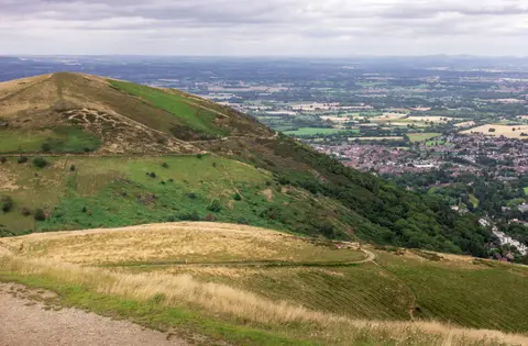
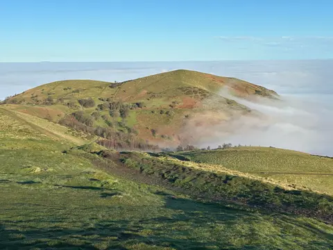
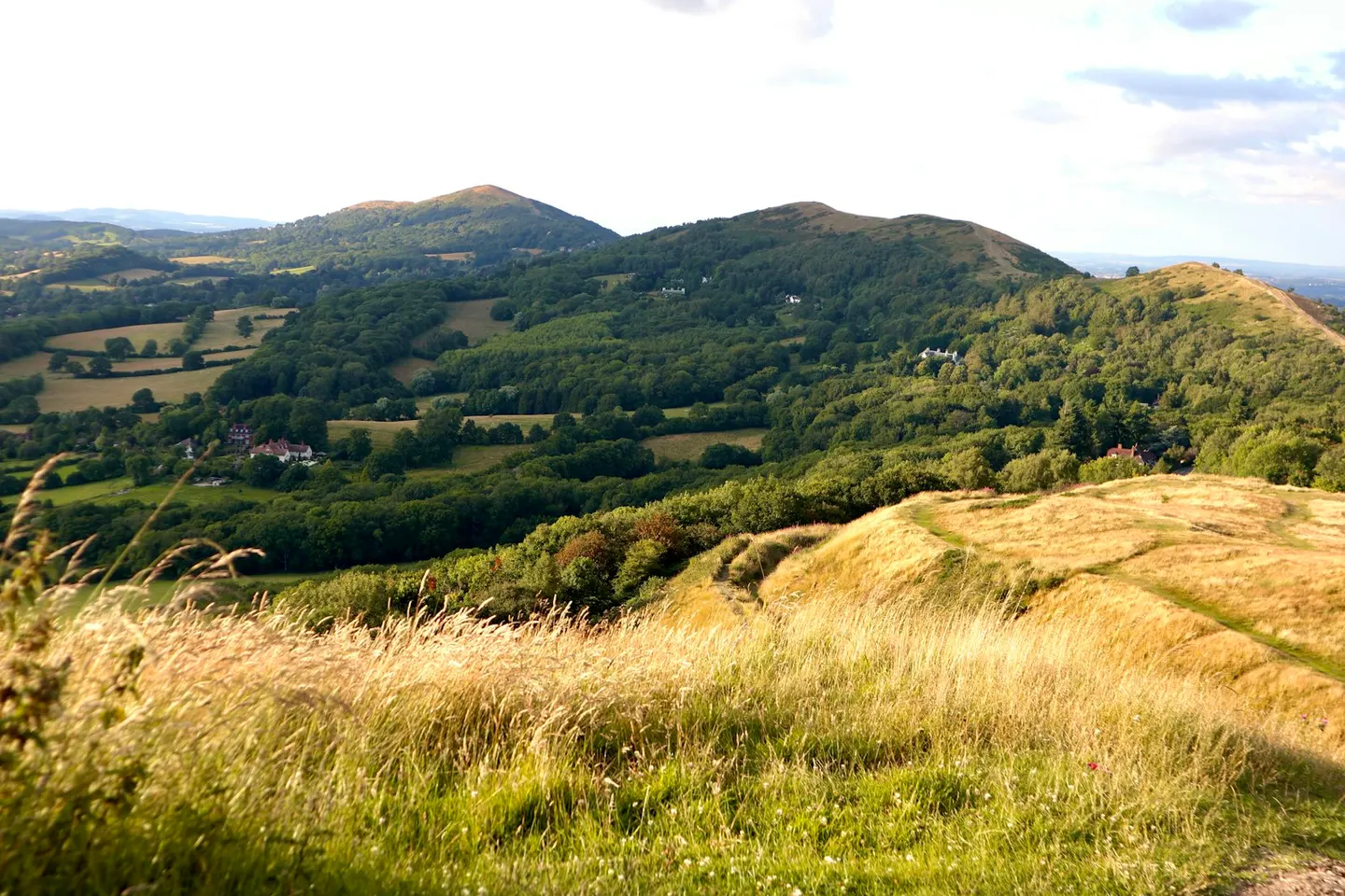
The Malvern Hills run as a narrow spine for about nine miles along the border of Worcestershire and Herefordshire, rising so abruptly out of flat farmland that from a distance they look far bigger than they are. The rock is some of the oldest in England, more than 600 million years old, which is why the ridge is so hard and steep-sided while everything around it is soft lowland. The highest point, the Worcestershire Beacon, reaches 425 metres, and from the top you look out over a huge sweep of country in every direction.
A path runs the whole length of the ridge, so you can walk from end to end and drop off to a town or village whenever you fancy. Towards the southern end, an Iron Age hillfort known as British Camp rings the top of the Herefordshire Beacon, its earth ramparts still clear to see. The composer Edward Elgar lived nearby and walked these hills often.
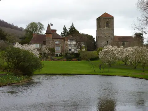
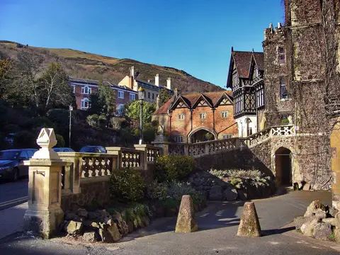
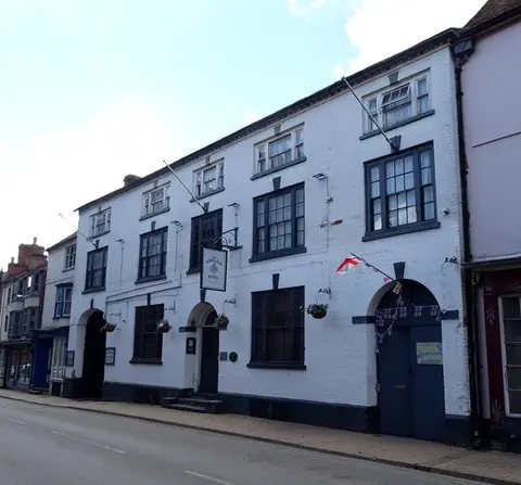
Great Malvern sits on the eastern slope and is the obvious base: the town grew up around its spring water, still has a working train station, and holds the medieval Great Malvern Priory and the Nag’s Head. The Worcestershire Way and Geopark Way both touch the hills, and Eastnor Castle is a short way south. The tops are open and can be windy, but the walking is straightforward and the paths are good.