Fifty miles over the Mendip Hills from the coast at Uphill to Frome, by way of Cheddar and Wells
Indicative — sampled from open terrain data along the simplified route.
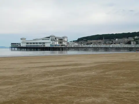
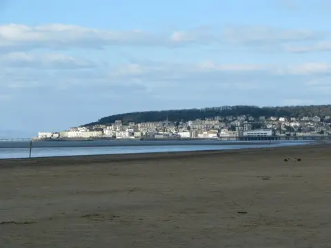
The Mendip Way crosses the Mendip Hills for 50 miles, from Uphill on the coast near Weston-super-Mare to Frome in the east of Somerset. It comes in two halves that are often walked separately: the West Mendip Way, about 30 miles from Uphill to Wells, and the East Mendip Way, some 19 miles on to Frome. With over 6,000 feet of climbing along the way it is hillier than most routes of its length, and three or four days is the usual span.
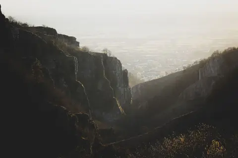
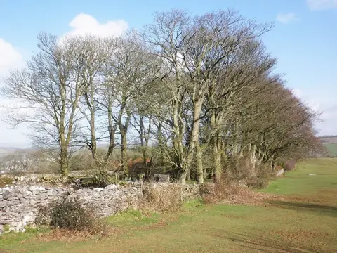
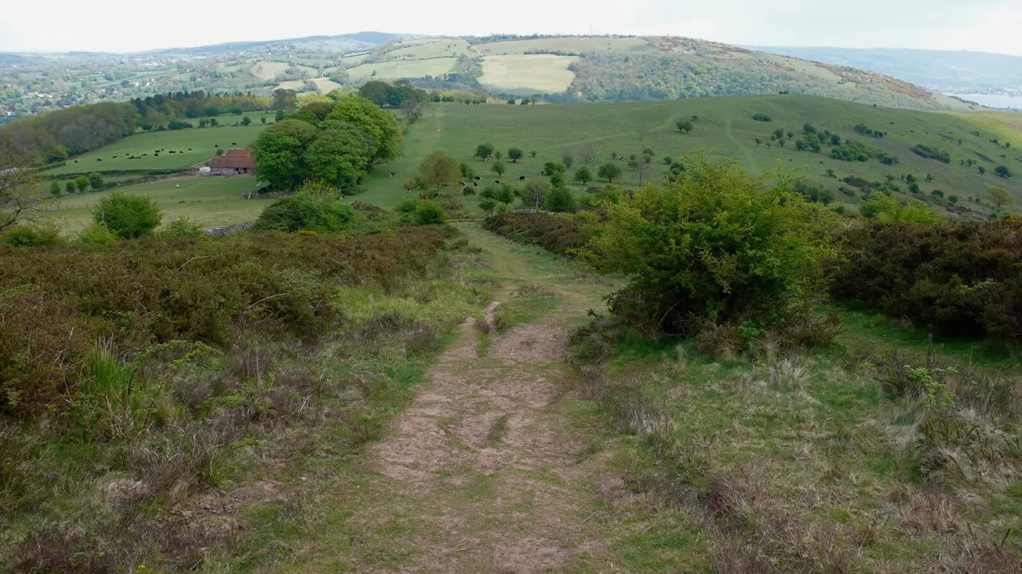
From the shore at Uphill the path climbs the western escarpment over Crook Peak onto the plateau, then runs along the top of Cheddar Gorge and past Ebbor Gorge and Wookey Hole before dropping to Wells, the small cathedral city at the foot of the hills. The eastern half is quieter and less dramatic, passing north of Shepton Mallet through woodland and old quarry country to reach Frome.
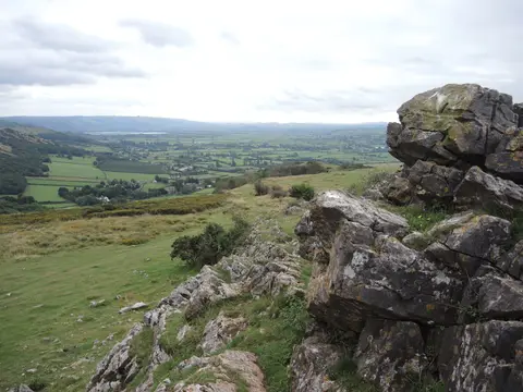
The high central plateau is open and exposed, cut by the gorges and riddled with the caves and swallets for which the Mendips are known, so the walking is more serious than the modest total mileage suggests. Weston-super-Mare and Frome both have stations, which makes the two ends easy to reach, and Wells in the middle is a natural place to break the route between its western and eastern sections. Much of the western half lies within the Mendip Hills National Landscape.