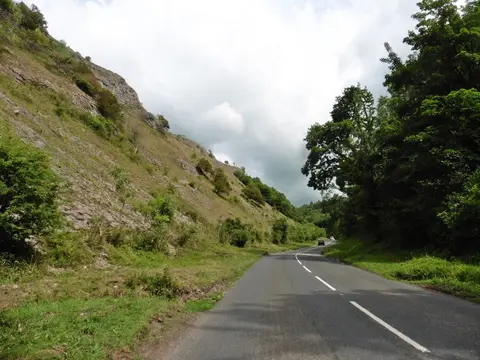
Crook Peak to Shute Shelve Hill
Open accessNational Trust land — free to wander
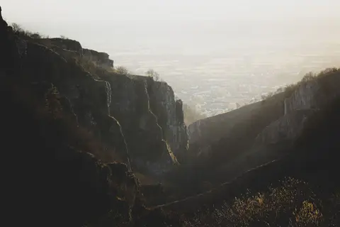
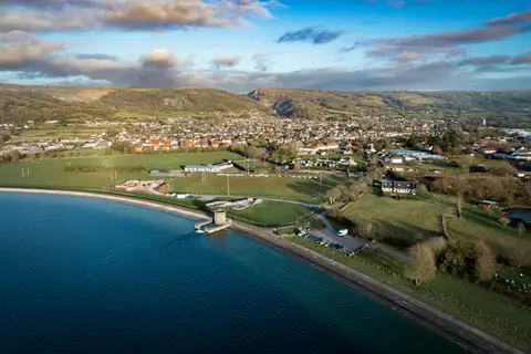
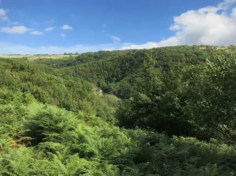
Crook Peak to Shute Shelve Hill is a Site of Special Scientific Interest in Somerset, covering 3.3 km². The county has 177 Sites of Special Scientific Interest; this is one. It is among the largest in the county. It lies inside the Mendip Hills National Landscape.
The closest station is Worle, about 6.4 km to the north-west. Other SSSIs nearby include Axbridge Hill and Fry's Hill, The Perch and Dolebury Warren.