
Places to explore near Reading
Set where the Kennet joins the Thames, Reading grew from a great medieval abbey into a brewing and biscuit town, and now a business hub on the river. Walkers pick up the Thames Path here and follow it upstream past Pangbourne to the Goring Gap, where the river cuts between chalk hills. The Palladian Basildon Park sits above that stretch, and the beechwoods of the Chilterns rise to the north, an escarpment of commons, kites and dry valleys.
111 places within 25 km — the standouts first, nearest first within each group. 1 is a national icon.
Worth the tripnational icons and local highlights within reach

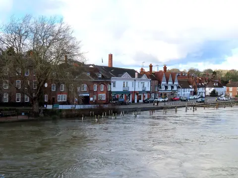
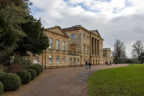
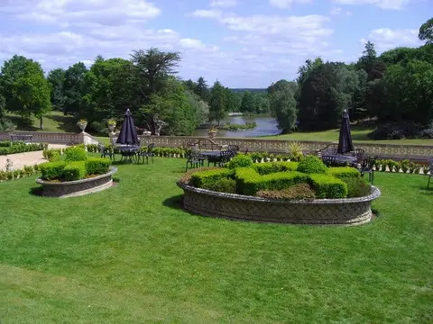
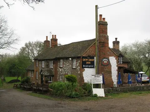
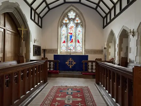
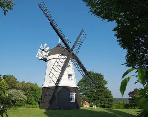
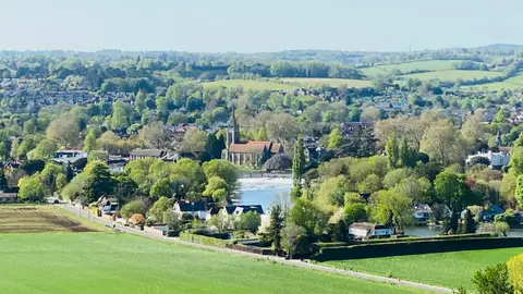
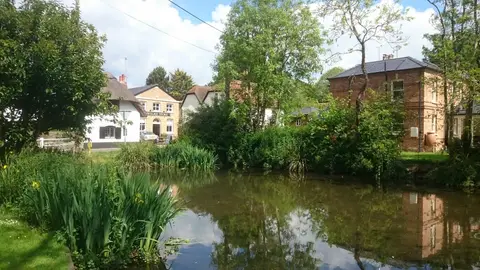
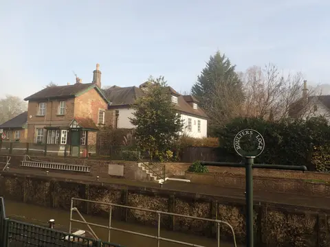
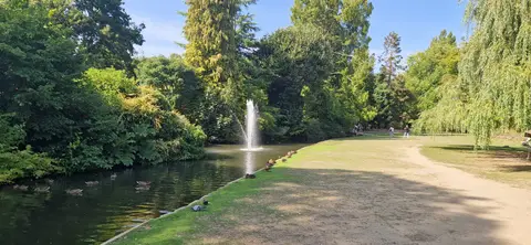
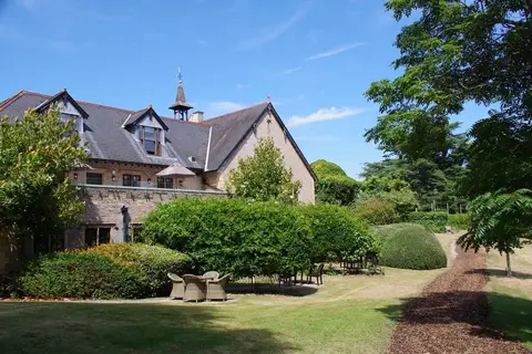
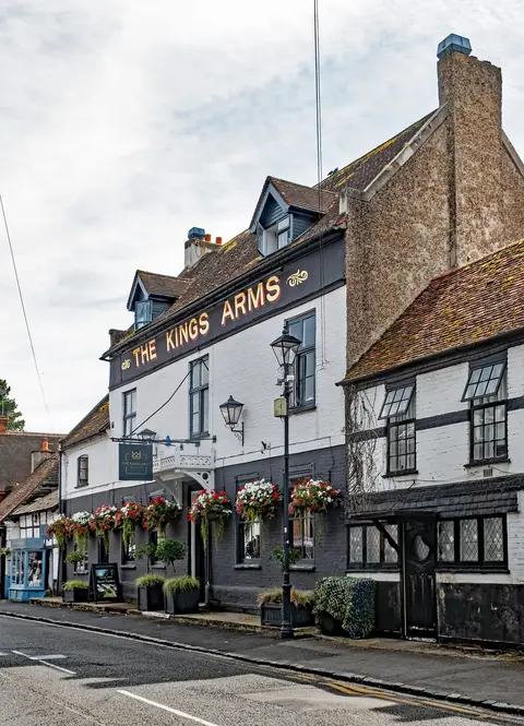

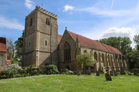
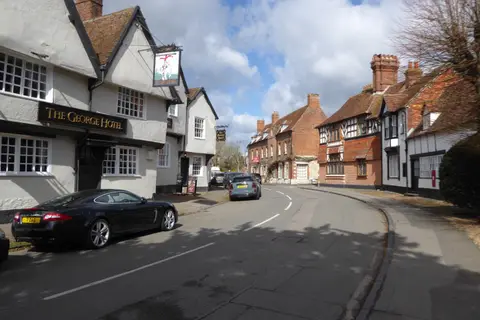
Also nearbygood places nearby, nearest first
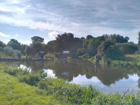
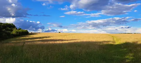
Everything else within 25 km (57) — reserves, earthworks & places to check before travelling
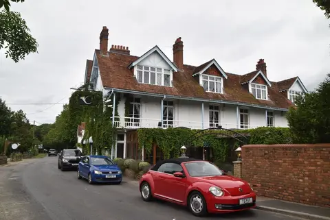
- OrwellsRestaurant6.5 km NE
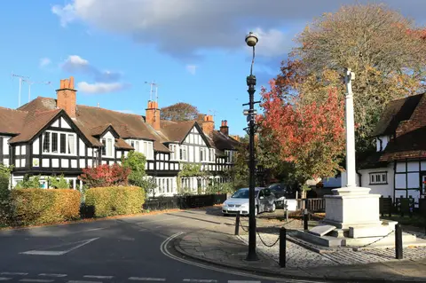
- PangbourneVillage8.5 km NW
- California Country ParkCountry park10.2 km SE
- Coombe End FarmCountry estate10.5 km NW
- Oxfordshire WayLong-distance path10.6 km NE
- Fairmile VineyardVineyard11.3 km N
- Bowsey HillCounty top11.8 km NE
- Waltham St LawrenceVillage12.3 km E
- Goring-on-ThamesVillage12.5 km NW
- BuckleburyCountry estate12.6 km W
- Silchester AmphitheatreAmphitheatre12.6 km SW
- St Mary the Virgin, SilchesterChurch12.8 km SW
- The RidgewayNational Trail13.5 km NW
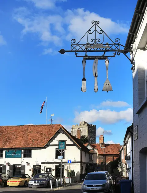
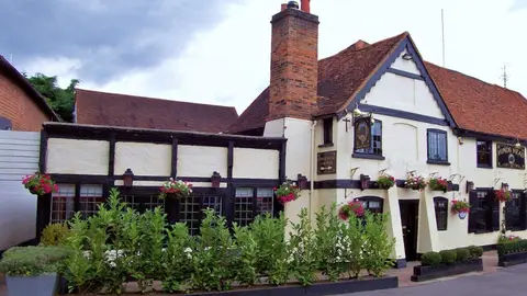
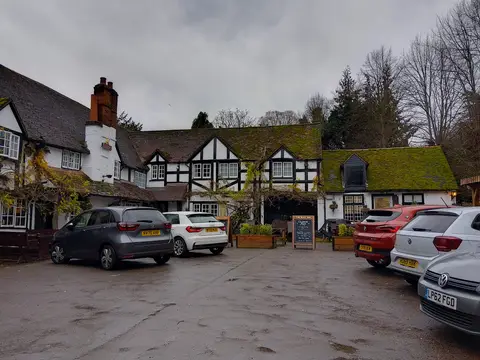
- The Miller of MansfieldPub13.5 km NW
- Pamber Forest and Silchester CommonSSSI13.6 km SW
- Finchampstead RidgesCountry estate13.9 km SE
- Goring Gap SitesCountry estate13.9 km NW
- Park Lane (Tilehurst)County topaccess unclear4.8 km W
- Deanery GardenHouse & gardenaccess unclear5.1 km NE
- Pincents KilnSSSIaccess unclear6.1 km W
- Lodge Wood & Sandford MillSSSI6.7 km E
- Sulham and Tidmarsh Woods and MeadowsSSSIaccess unclear6.8 km W
- Purley HallHouse & gardenaccess unclear7 km W
- Bearwood CollegeHouse & gardenaccess unclear7.9 km SE
- Stanford End Mill and River LoddonSSSIaccess unclear8 km S
- Pangbourne Meadow, River ThamesSwimming spot8.2 km NW
- Harpsden WoodSSSIaccess unclear8.4 km NE
- Moated Manorial Site at Beaumy's CastleCastleaccess unclear8.6 km S
- WargraveVillage8.6 km NE
- Highlands Farm PitSSSIaccess unclear8.7 km NE
- Folly FarmHouse & gardenaccess unclear9.2 km SW
- Bear, Oveys & Great Bottom WoodsSSSI9.2 km N
- Greys CourtCastleaccess unclear10.2 km N
- HartslockSSSI10.2 km NW
- Longmoor BogSSSI10.2 km SE
- BramshillSSSI10.7 km S
- Lambridge WoodSSSIaccess unclear10.7 km N
- Park Place, and Temple CombeHouse & gardenaccess unclear11 km NE
- Temple Island MeadowsSSSIaccess unclear12.2 km NE
- The Bird in HandPub12.2 km NE
- Oaken Grove VineyardVineyard12.2 km NE
- Fawley Court and Temple IslandHouse & gardenaccess unclear12.5 km NE
- Aldermaston Gravel PitsSSSIaccess unclear12.7 km SW
- Calleva Atrebatum, SilchesterRoman archaeological site13 km SW
- Old Copse, BeenhamSSSIaccess unclear13 km W
- Warbrook HouseHouse & gardenaccess unclear13.1 km SE
- Berins Hill BankSSSIaccess unclear13.1 km NW
- The FrithHillfortaccess unclear13.2 km SW
- Holies DownSSSI13.2 km NW
- King's CopseSSSI13.5 km W
- Warren BankSSSIaccess unclear13.6 km NW
- Ashley HillCounty topaccess unclear13.7 km NE
- Decoy Pit , Pools & WoodsSSSIaccess unclear13.8 km SW
- Hazeley HeathSSSI13.8 km S
- Rodbed WoodSSSIaccess unclear13.8 km NE
- Newbold College (formerly Moor Close)House & gardenaccess unclear13.9 km E
- Priest's HillSSSI13.9 km N
Ordered by how far each place is worth travelling for, then by distance. Distances are straight-line to the nearest edge of each place — paths wind, of course.