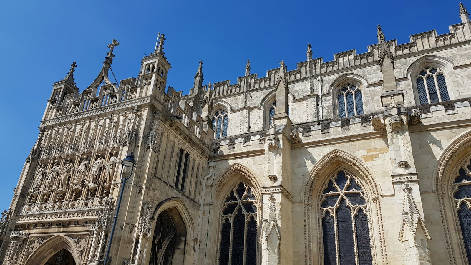
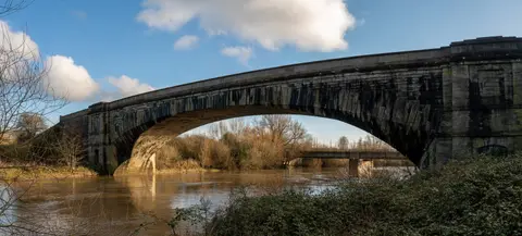
Photo Elizabeth Jamieson / Unsplash
Places to explore near Gloucester
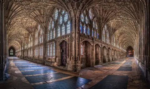
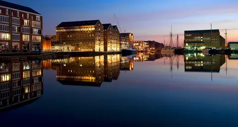
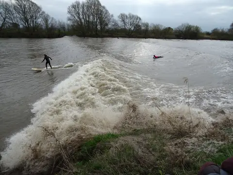
Set at the lowest bridging point of the River Severn, Gloucester grew as a Roman colony and later raised one of England's finest Norman churches — Gloucester Cathedral, with its fan-vaulted cloister and vast east window. The restored Victorian docks stand where the ship canal once met the river, and the Severn Bore still rides upstream on the biggest tides. The Cotswold escarpment rises east above Robinswood Hill, the Forest of Dean's oaks spread west of the river, and the wooded Wye Valley and lone dome of May Hill lie towards the Welsh border.
112 places within 25 km — the standouts first, nearest first within each group. 2 are national icons.
Worth the tripnational icons and local highlights within reach
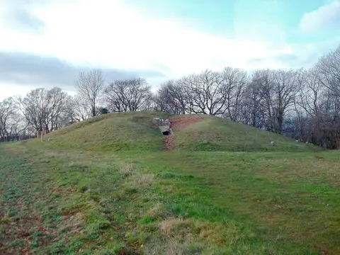
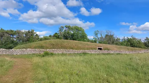
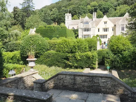
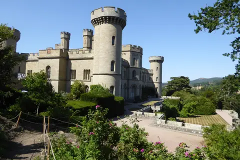

Also nearbygood places nearby, nearest first
Everything else within 25 km (57) — reserves, earthworks & places to check before travelling
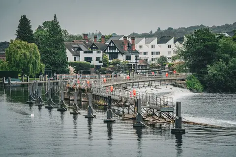
- River SevernRiver navigation1.8 km W
- Robinswood Hill Country ParkCountry park2.6 km S
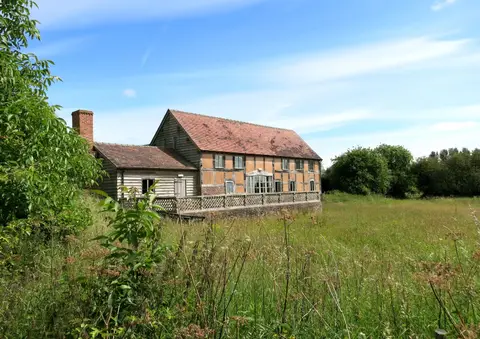
- Ashleworth Tithe BarnAncient site6.8 km N
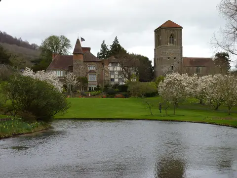
- Little FleeceHouse & garden9.4 km S
- Crickley Hill Country ParkCountry park9.4 km E
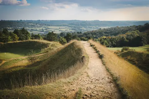
- Haresfield BeaconSSSI9.7 km S
- EbworthNature reserve9.8 km SE
- Haresfield BeaconCountry estate10.1 km S
- Eden's HillCountry estate11.7 km NW
- Westbury Court GardenHouse & garden12.3 km SW
- Deya BreweryBrewery12.3 km E
- Frampton CourtHouse & gardenaccess unclear13.4 km SW
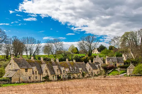
- MiserdenVillage13.5 km SE
- Strawberry Hill VineyardVineyard13.6 km NW
- Blackfriars, GloucesterFriaryaccess unclear0.2 km W
- Llanthony Secunda PrioryPrioryaccess unclear1 km SW
- Innsworth MeadowSSSIaccess unclear3.5 km NE
- Robin's Wood Hill QuarrySSSI3.5 km S
- Highnam CourtHouse & gardenaccess unclear3.9 km W
- Hucclecote MeadowsSSSIaccess unclear4.4 km SE
- Hucclecote Roman villaRoman archaeological siteaccess unclear4.6 km E
- Range Farm FieldsSSSIaccess unclear5.5 km S
- Cotswold Commons and BeechwoodsNational Nature Reserve6.8 km SE
- Ashleworth HamSSSIaccess unclear7.1 km N
- Wainlode CliffSSSIaccess unclear7.3 km N
- BadgeworthSSSIaccess unclear7.8 km E
- Great Witcombe Roman VillaRoman villaaccess unclear7.9 km SE
- Castle GodwynCastleaccess unclear8 km SE
- Coombe Hill CanalSSSIaccess unclear8.2 km N
- Painswick Roman villaRoman archaeological siteaccess unclear8.7 km S
- Walmore CommonSSSI8.9 km SW
- Edge CommonSSSI9.1 km S
- Crickley Hill and Barrow WakeSSSI9.4 km E
- The FalconPub9.6 km S
- Dryhill Roman villaRoman archaeological siteaccess unclear10 km E
- Knap House Quarry, BirdlipSSSIaccess unclear10 km E
- Oridge Street MeadowsSSSIaccess unclear10 km N
- St Mary's Church, DeerhurstChurch10.2 km N
- Bull Cross, The Frith and Juniper HillSSSI10.6 km SE
- The Cheltenham EscarpmentNational Nature Reserve11.2 km E
- Avenue MeadowSSSI11.7 km N
- Collinpark WoodSSSIaccess unclear11.8 km NW
- Bushley Muzzard, BrimpsfieldSSSIaccess unclear12.1 km SE
- Rough Bank, MiserdenSSSI12.1 km SE
- Chaceley MeadowSSSIaccess unclear12.2 km N
- Poolhay MeadowsSSSIaccess unclear12.2 km N
- Brimpsfield CastleCastleaccess unclear12.3 km SE
- Swift's HillSSSI12.5 km S
- Turvey's PieceSSSIaccess unclear12.5 km NE
- Brimpsfield Castle moundEarthworks of a former castleaccess unclear12.7 km SE
- Garden CliffSSSIaccess unclear12.7 km SW
- Frampton PoolsSSSIaccess unclear13.2 km SW
- Blaisdon HallSSSIaccess unclear13.4 km W
- Coombhill MeadowsSSSIaccess unclear13.4 km N
- Burley Dene MeadowsSSSI13.7 km N
- Hobb's Quarry, LonghopeSSSIaccess unclear13.7 km W
- Upper Severn EstuarySSSI13.7 km SW
Ordered by how far each place is worth travelling for, then by distance. Distances are straight-line to the nearest edge of each place — paths wind, of course.