An early contour canal winding some 78 miles through the Midlands from the Thames at Oxford up to Coventry
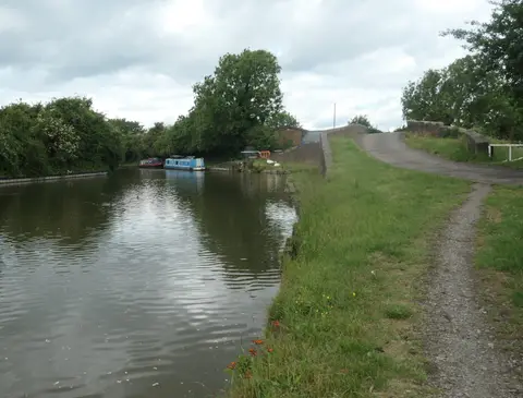
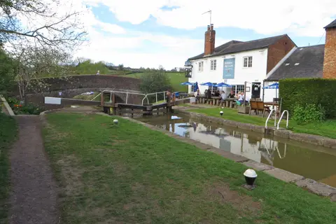
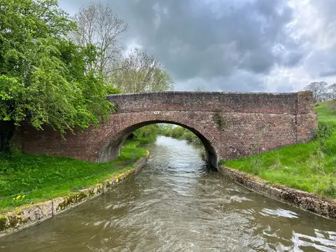
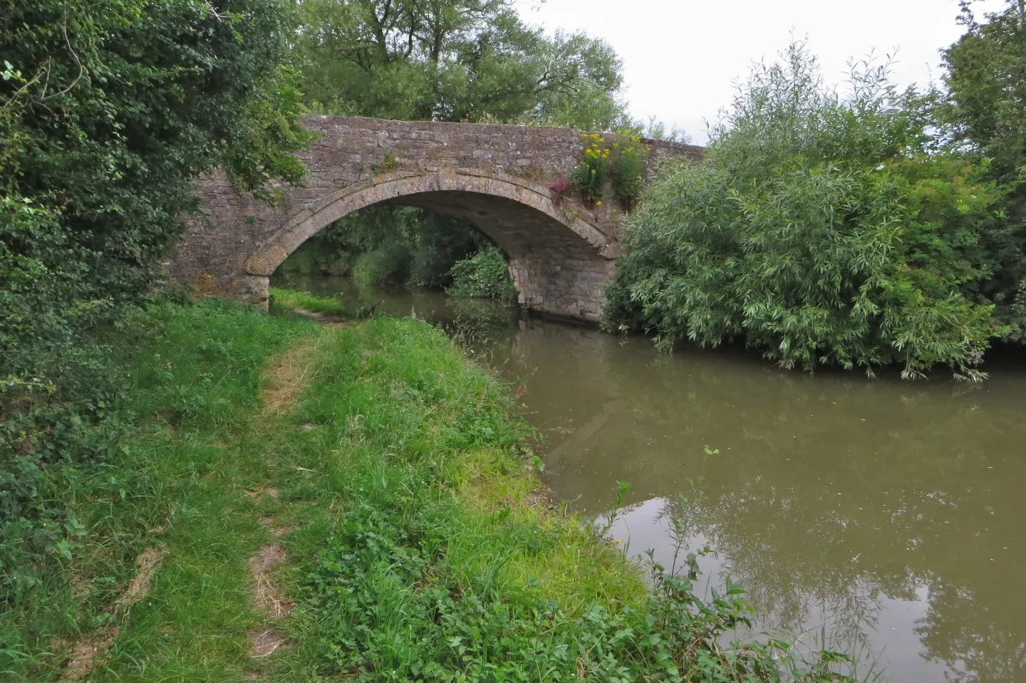
The Oxford Canal runs some 78 miles through the Midlands, from the River Thames at Oxford north to Hawkesbury Junction near Coventry, where it joins the Coventry Canal. It was one of the earliest English canals, engineered by James Brindley and Samuel Simcock and opened in 1790. Brindley built it as a contour canal, hugging the lie of the land rather than cutting through it, which is why the southern half in particular loops and doubles back so much. It is a narrow canal with 46 locks, and it stays largely rural and quiet — one of the reasons it is a favourite among boaters and towpath walkers alike.
The two halves have different characters. The northern section, from Napton up to Hawkesbury, was straightened in the 1820s and 30s to shorten the run and see off railway competition, so it moves in longer, straighter reaches. South of Napton-on-the-Hill the canal keeps Brindley’s original winding line down through open Oxfordshire farmland, past Cropredy and Banbury to the Thames — a slow, unhurried stretch with few towns. The nine locks of the Napton flight climb to the canal’s summit level.
The canal was built to carry coal from the Warwickshire coalfield south to Oxford and onto the Thames, and for a time it was the main line of traffic between the Midlands and London, until the shorter Grand Junction route took that trade away.
It is easy to walk or boat in stages: Oxford, Banbury, Rugby and Coventry all have stations near the water. At Napton and Braunston it meets the Grand Union Canal, linking it into the wider network.