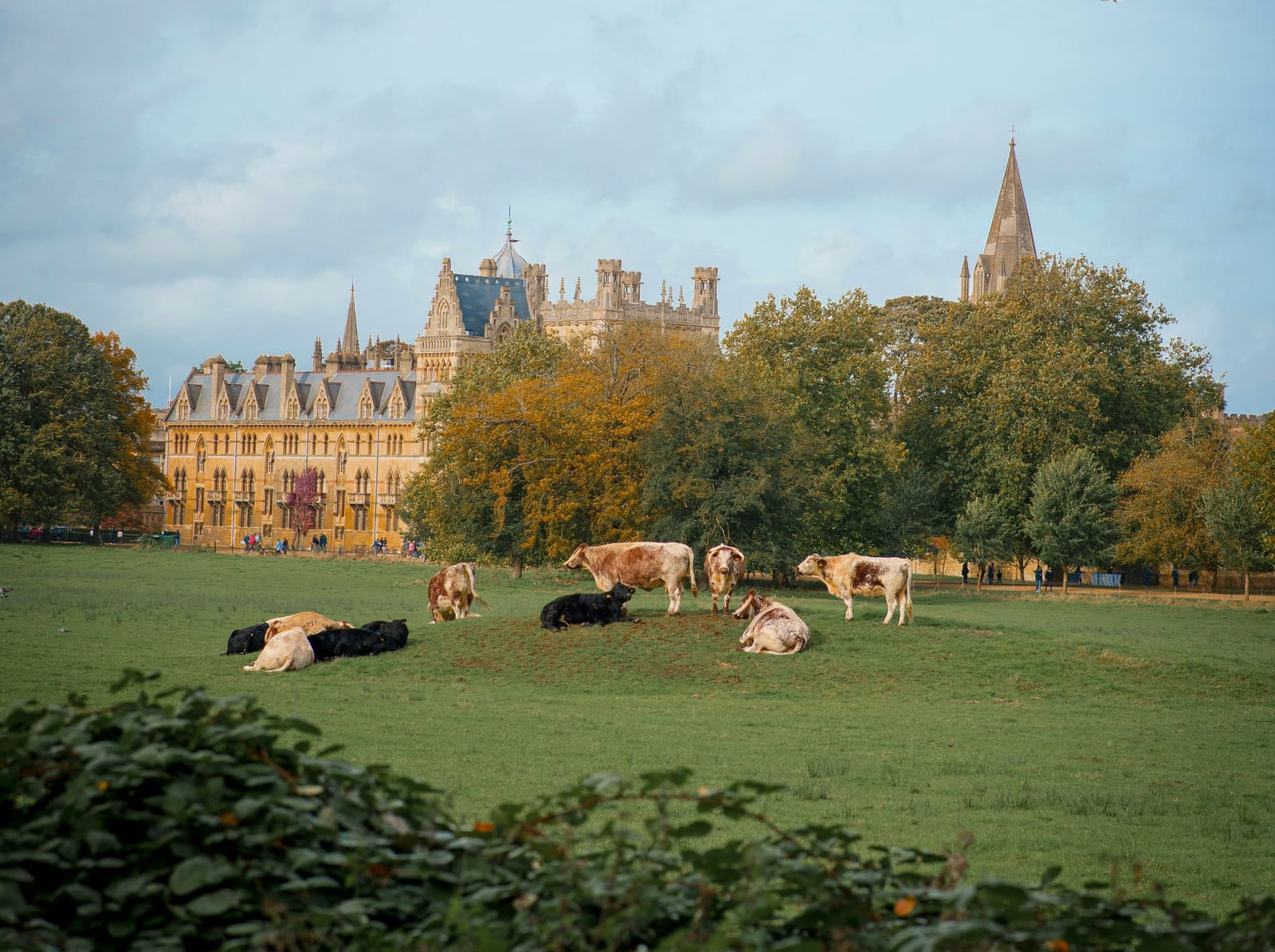
Photo Ben Elliott / Unsplash
Places to explore in OxfordshireEngland · South East England
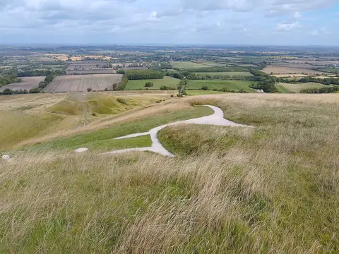
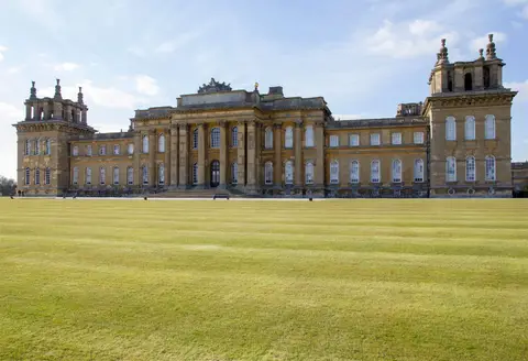
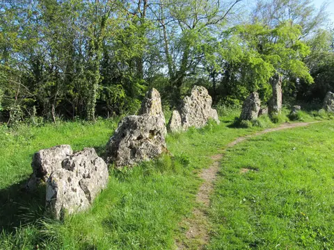
Oxfordshire runs from the honey-stone Cotswold uplands in the west, across the clay vale of the upper Thames, to the chalk of the Chilterns and the Downs in the south. The ancient Ridgeway traces that southern chalk past the Bronze Age Uffington White Horse and the megalithic tomb of Wayland's Smithy. Oxford itself needs little introduction, its colleges gathered where the Thames meets the Cherwell. Out in the countryside stand the Rollright Stones and the baroque grandeur of Blenheim Palace, birthplace of Churchill.
The best of Oxfordshireworth the trip


Villages & towns in Oxfordshire 26
- Burford
- Dorchester-on-Thames
- Ewelme
- Great Tew
- Henley-on-Thames
- Kelmscott
- Kingham
- Minster Lovell
- Swinbrook
- Woodstock
- Wallingford
- Clifton Hampden
- Deddington
- Hook Norton
- Shipton-under-Wychwood
Show all 26 villages and towns in Oxfordshire
Houses & gardens in Oxfordshire 33
- Christ Church0.35 km²
- Blenheim Palace9.7 km²
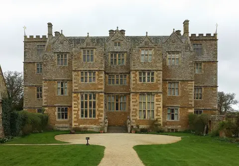
- Chastleton House0.21 km²
- Buscot Park1.3 km²
- Kelmscott Manor0.02 km²
- Stonor Park0.9 km²
- University of Oxford Botanic Garden0.03 km²
- Harcourt Arboretum
- Nuffield Place
- Thenford Arboretum
- Waterperry Gardens
- Ashdown House1.5 km²
- New College0.03 km²
- Nuneham Courtenay4.7 km²
- St Catherine's College0.03 km²
Show all 33 houses and gardens in Oxfordshire
- Worcester College0.08 km²
- Wroxton Abbey1.3 km²
- Magdalen College0.18 km²
- Bridewell Organic Gardens
- Broughton Grange
- Priory Cottages
- Cornbury Park2.7 km²
- Ditchley Park1.9 km²
- Rousham0.76 km²
- Shotover0.87 km²
- The Japanese Garden at the New House0.003 km²
- Beckley Park0.02 km²
- Buckland House0.88 km²
- Garsington Manor0.04 km²
- Heythrop Park3.2 km²
- Sarsden House1.2 km²
- Tackley Water Garden0.04 km²
- Thame Park2.1 km²
Pubs & restaurants in Oxfordshire 27
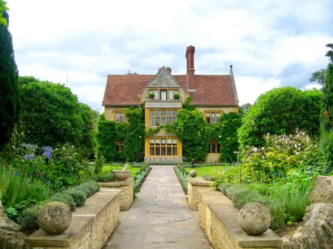
- Belmond Le Manoir aux Quat'Saisons
- The Bell Inn (Langford)
- The Bottle & Glass Inn
- The Bull (Charlbury)
- The Plough
- The Plough (Shiplake)
- Mr Hanbury's Masons Arms
- North Star
- Orwells
- The Double Red Duke
- The Mason's Arms
- Sir Charles Napier
- The Falkland Arms
- The French Horn
- The Harcourt Arms
Show all 27 pubs and restaurants in Oxfordshire
Other sights in Oxfordshire 9
Protected landscapes in Oxfordshire 3
- Cotswolds2,041 km²
- North Wessex Downs1,731 km²
- Chilterns838 km²
Castles & strongholds in Oxfordshire 15
- Broughton Castleruin
- Oxford Castleruin
- Greys Courtruin
- Deddington Castleearthworks
- Alfred's Castleruin
- Middleton Stoney Castleruin
- Segsbury Campruin
- Swerford Castleruin
- Wallingford Castleruin
- Ardley Wood moated ringworkearthworks
- Ascott d'Oyley motte and baileyearthworks
- Ascott Earl motteearthworks
- Chipping Norton motteearthworks
- Leafield Barrowearthworks
- South Moreton Castleearthworks
Ancient stones in Oxfordshire 14
- Rollright Stonesstanding
- Wayland's Smithystanding
- Devil's Quoitsstanding
- Hawk Stonestanding
- Hoar Stonestanding
- Taston standing stonestanding
- Bladon campearthworks
- Chastleton Barrow campearthworks
- Hardwell Campearthworks
- Idbury Campearthworks
- Ilbury Campearthworks
- Knollbury campearthworks
- North Stoke hengeearthworks
- Uffington Castleearthworks
Trails in Oxfordshire 5
- Thames Path298 km
- Macmillan Way467 km
- The Ridgeway139 km
- Chiltern Way285 km
- Oxfordshire Way108 km
Churches in Oxfordshire 13
- Dorchester Abbey
- All Saints, Shorthampton
- St James the Great, South Leigh
- St John the Baptist, Burford
- St Mary the Virgin, Ewelme
- St Mary's Church, Adderbury
- St Mary's Church, Bloxham
- St Mary's Church, Chalgrove
- St Michael's Church, Great Tew
- St Peter ad Vincula, South Newington
- St George's Church, Kelmscott
- St Mary the Virgin, Swinbrook
- St Mary's Church, Iffley
Farms, vineyards & producers in Oxfordshire 9
Waterways in Oxfordshire 2
Nature reserves in Oxfordshire 113
- Shotover Country Park1.1 km²
- Aston Rowant Woods2.1 km²
- Mapledurham Country Park0.08 km²
- Shirburn Hill0.64 km²
- Spiceball Country Park0.19 km²
- Aston Rowant1.6 km²
- South Leigh Sites
- Chinnor Hill0.27 km²
- Bear, Oveys & Great Bottom Woods0.64 km²
- Bix Bottom1 km²
- Hackpen, Warren & Gramp's Hill Downs0.71 km²
- Pixey and Yarnton Meads0.86 km²
- Port Meadow1.7 km²
- Waterperry Wood1.4 km²
- Wychwood2.6 km²
Show all 113 nature reserves in Oxfordshire
- Ardley Trackways0.64 km²
- Ashdown Park0.09 km²
- Aston Upthorpe Downs0.39 km²
- Bould Wood0.58 km²
- Cothill Fen0.43 km²
- Frilford Heath, Ponds and Fens1.1 km²
- Grafton Lock Meadow0.11 km²
- Hartslock0.42 km²
- Hook Meadow and The Trap Grounds0.12 km²
- Lambridge Wood0.75 km²
- Little Wittenham0.69 km²
- Otmoor2.1 km²
- Pishill Woods0.43 km²
- Priest's Hill0.01 km²
- Stanton Great Wood0.58 km²
- Stonesfield Common, Bottoms & Banks0.27 km²
- Swyncombe Downs0.47 km²
- Tuckmill Meadows0.06 km²
- Wendlebury Meads and Mansmoor Closes0.74 km²
- Westwell Gorse0.03 km²
- Whitecross Green and Oriel Woods0.63 km²
- Wolvercote Meadows0.07 km²
- Wormsley Chalk Banks0.15 km²
- Wytham Woods4.2 km²
- Chimney Meadows0.5 km²
- Cothill0.02 km²
- Alvescot Meadows0.03 km²
- Appleton Lower Common0.47 km²
- Ardley Cutting and Quarry0.4 km²
- Arncott Bridge Meadows0.09 km²
- Barrow Farm Fen0.07 km²
- Berins Hill Bank0.02 km²
- Berrick Trench0.02 km²
- Bestmoor0.12 km²
- Buckland Warren0 km²
- Cassington Meadows0.07 km²
- Chinnor Chalk Pit0.2 km²
- Culham Brake0.01 km²
- Cumnor0 km²
- Ditchley Road Quarry0.12 km²
- Dry Sandford Pit0.04 km²
- Ducklington Mead0.05 km²
- Fernham Meadows0.23 km²
- Glyme Valley0.29 km²
- Harpsden Wood0.29 km²
- Highlands Farm Pit0.01 km²
- Holly Court Bank0.04 km²
- Holly Wood0.26 km²
- Holton Wood0.51 km²
- Hook Norton Cutting & Banks0.07 km²
- Horsehay Quarries0.08 km²
- Hurst Hill0.21 km²
- Iffley Meadows0.36 km²
- Kirtlington Quarry0.03 km²
- Knightsbridge Lane0.02 km²
- Lamb and Flag Quarry0 km²
- Langley's Lane Meadow0.03 km²
- Little Tew Meadows0.4 km²
- Littlemore Railway Cutting0 km²
- Littleworth Brick Pit0.02 km²
- Long Hanborough Gravel Pit0.04 km²
- Lye Valley0.02 km²
- Lyehill Quarry0.03 km²
- Magdalen Grove0 km²
- Magdalen Quarry0 km²
- Middle Barton Fen0.12 km²
- Moulsford Downs0.14 km²
- Murcott Meadows0.22 km²
- Muswell Hill0 km²
- Neithrop Fields Cutting0.01 km²
- New Marston Meadows0.45 km²
- Out Wood0.19 km²
- Parkfarm Down0.03 km²
- Reed Hill0.14 km²
- Rock Edge0.02 km²
- Rushy Meadows0.09 km²
- Salt Way, Ditchley0.02 km²
- Sarsgrove Wood0.42 km²
- Sharp's Hill Quarry0.02 km²
- Sheep's Banks0.05 km²
- Shellingford Crossroads Quarry0.03 km²
- Shipton-on-Cherwell Quarries0.27 km²
- Sidling's Copse and College Pond0.22 km²
- Spartum Fen0.08 km²
- Stanton Harcourt0.01 km²
- Stonesfield Slate Mines0.01 km²
- Stratton Audley Quarries0.09 km²
- Sturt Copse0.06 km²
- Sugworth0.01 km²
- Taynton Quarries0.4 km²
- Warren Bank0.03 km²
- Weston Fen (Oxfordshire)0.14 km²
- Whitehill Wood0.03 km²
- Wicklesham and Coxwell Pits0.13 km²
- Woodeaton Quarry0.07 km²
- Woodeaton Wood0.14 km²
- Worsham Lane0 km²
- Wytham Ditches and Flushes0.03 km²
Roman sites in Oxfordshire 10
- North Leigh Roman Villaearthworks
- Beaconsfield Farm Roman villaearthworks
- Blenheim Villaearthworks
- Callow Hill Roman villaearthworks
- Cornbury Park Roman campsearthworks
- Ditchley Park Roman villaearthworks
- Fawler Roman villaearthworks
- Oaklands Farm Roman villaearthworks
- Stonesfield Roman villaearthworks
- Two sections of a Roman road on Ot Moorearthworks
Abbeys & priories in Oxfordshire 9
- Minster Lovell Hallruin
- Minster Lovell Manor Dovecotruin
- Abingdon Abbeyruin
- Gagingwell Crossruin
- Godstow Abbeyruin
- Moated manor, priory, settlementruin
- Osney Abbeyruin
- Rewley Abbeyruin
- Eynsham Abbeybelow ground
Country estates in Oxfordshire 5
Beaches & swimming in Oxfordshire 4
Windmills in Oxfordshire 3
Battlefields in Oxfordshire 2
Hills & peaks in Oxfordshire 2
- Bald Hill257 m
- Whitehorse Hill261 m