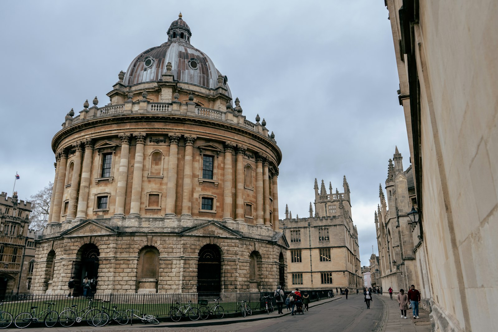
Photo BEN ELLIOTT / Unsplash
Places to explore near Oxford
The dreaming spires rise where the Thames — Isis to the city — meets the Cherwell, and Oxford's honey-coloured colleges make up the oldest university in the English-speaking world. Ancient common land at Port Meadow still runs down to the river. The Cotswolds begin to the north-west, where Blenheim Palace sits in its Capability Brown park, while the Chilterns and the prehistoric Ridgeway rise to the south. Closer still lie the wet grassland and birds of Otmoor and the old research oaks of Wytham Woods.
100 places within 25 km — the standouts first, nearest first within each group. 4 are national icons.
Worth the tripnational icons and local highlights within reach
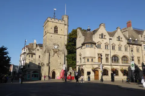
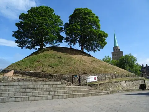
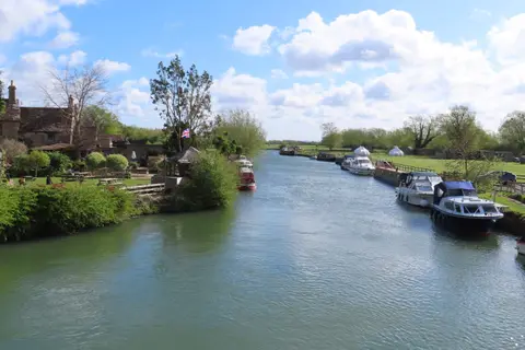
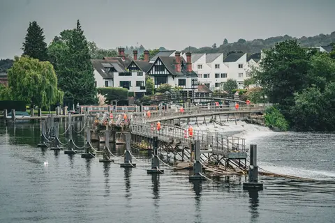
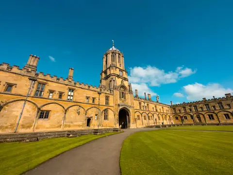
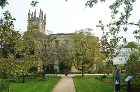
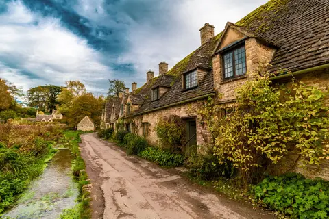
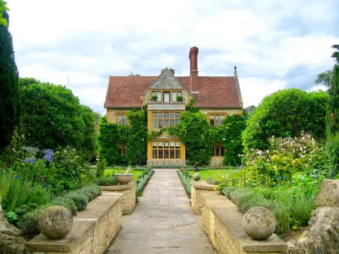
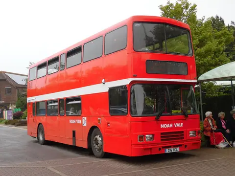
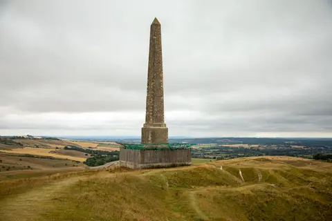
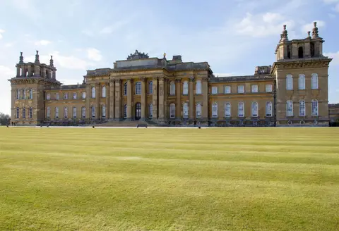
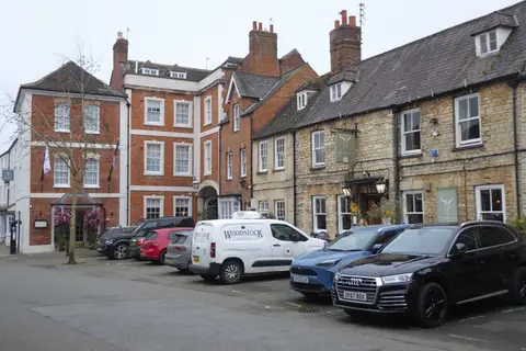
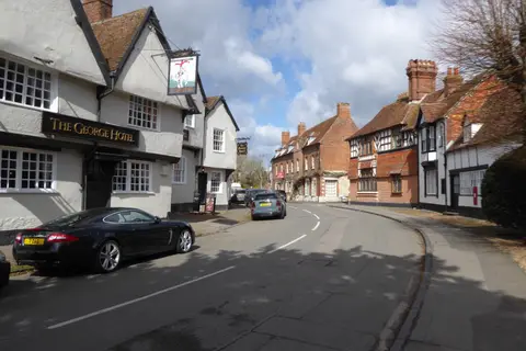
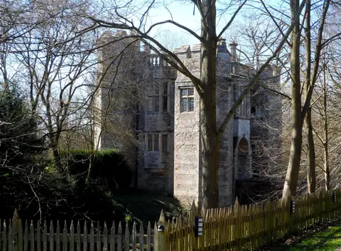
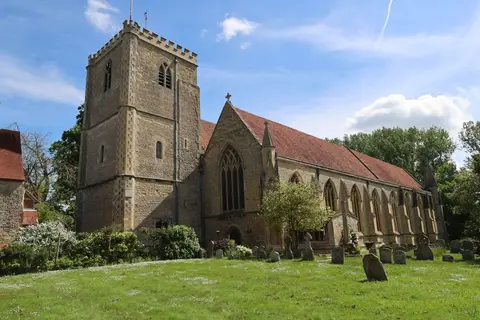
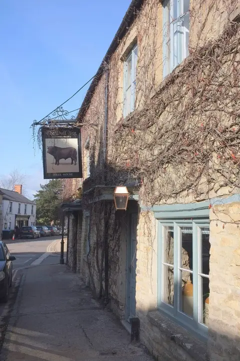
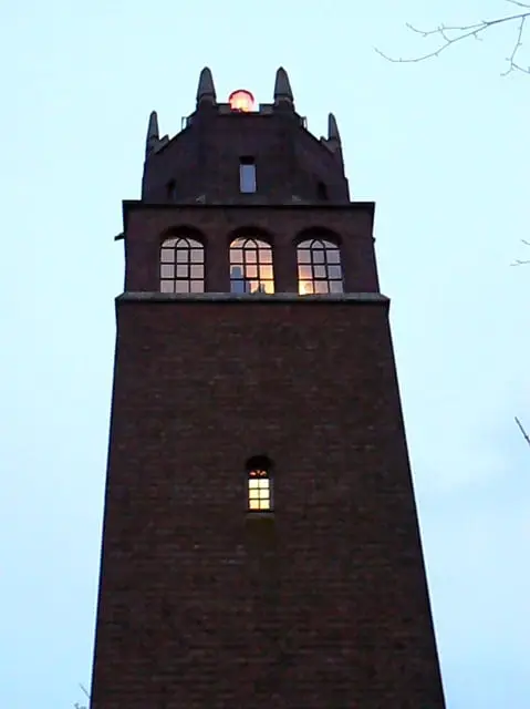
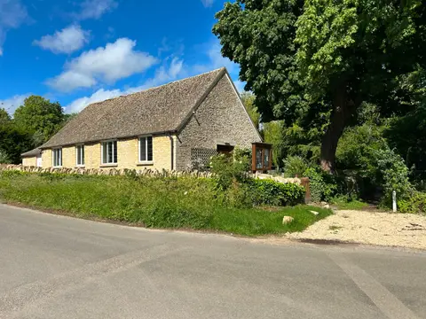
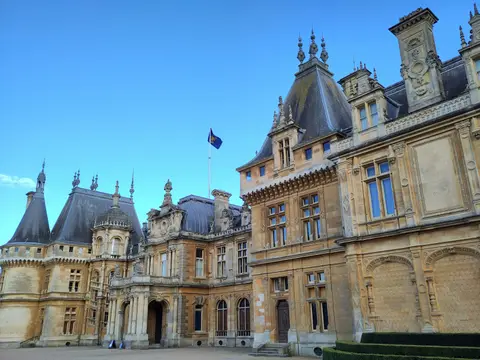
Also nearbygood places nearby, nearest first
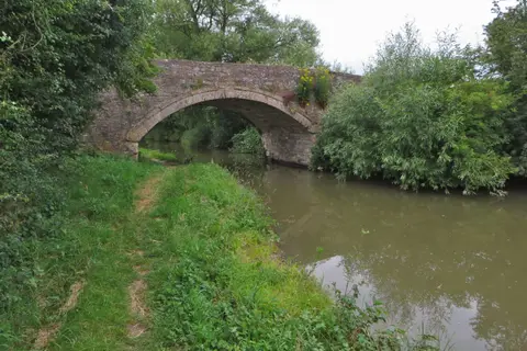
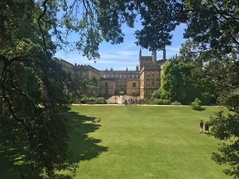
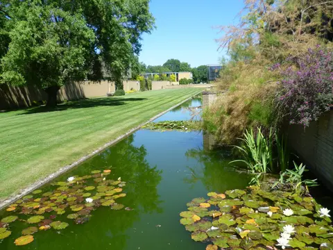
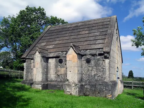
Everything else within 25 km (64) — reserves, earthworks & places to check before travelling
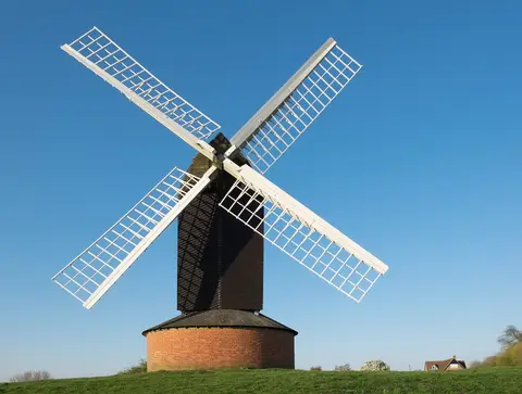
- Wheatley WindmillWindmill7.6 km E
- Harcourt ArboretumGarden8.7 km SE
- Abingdon County HallLandmark9.1 km S
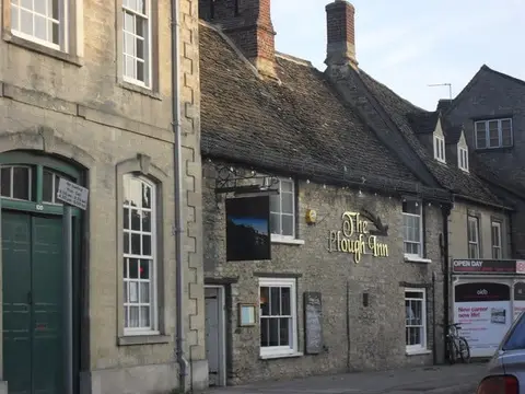
- The Harcourt ArmsPub9.8 km W
- Clifton HampdenVillage10.9 km S
- Worcester CollegeHouse & gardenaccess unclear0.7 km NW
- Rewley AbbeyAbbeyaccess unclear0.7 km W
- Magdalen GroveSSSIaccess unclear0.7 km NE
- Osney AbbeyAbbeyaccess unclear1 km W
- New Marston MeadowsSSSIaccess unclear1.2 km NE
- Port MeadowSSSI1.6 km NW
- St Mary's Church, IffleyChurch1.7 km SE
- Iffley MeadowsSSSIaccess unclear1.9 km SE
- The FishesPub1.9 km SW
- The PerchPub2.5 km NW
- Hook Meadow and The Trap GroundsSSSI2.6 km NW
- Wytham WoodsSSSIaccess unclear2.8 km W
- Lye ValleySSSIaccess unclear3.4 km E
- Rock EdgeSSSIaccess unclear3.6 km E
- Littlemore Railway CuttingSSSIaccess unclear3.8 km SE
- Hurst HillSSSIaccess unclear3.9 km SW
- Magdalen QuarrySSSIaccess unclear3.9 km E
- Wolvercote Mill StreamSwimming spot4.1 km NW
- Godstow AbbeyNunneryaccess unclear4.1 km NW
- Wolvercote MeadowsSSSI4.3 km NW
- Sidling's Copse and College PondSSSIaccess unclear4.4 km NE
- Pixey and Yarnton MeadsSSSI4.5 km NW
- SugworthSSSIaccess unclear5.3 km S
- Woodeaton WoodSSSIaccess unclear5.5 km NE
- Wytham Ditches and FlushesSSSIaccess unclear5.7 km NW
- CumnorSSSIaccess unclear5.9 km SW
- Cassington MeadowsSSSIaccess unclear6.2 km NW
- Woodeaton QuarrySSSIaccess unclear6.3 km N
- Cothill FenSSSI6.5 km SW
- ShotoverHouse & gardenaccess unclear7 km E
- Littleworth Brick PitSSSIaccess unclear7.5 km E
- The Mole InnPub7.7 km SE
- Holton WoodSSSIaccess unclear7.8 km E
- Lyehill QuarrySSSIaccess unclear7.8 km E
- Stanton Great WoodSSSIaccess unclear7.8 km E
- Dry Sandford PitSSSIaccess unclear7.9 km SW
- Holly WoodSSSIaccess unclear7.9 km NE
- Garsington ManorHouse & gardenaccess unclear8.1 km SE
- WheatleyVillage8.3 km E
- CothillNational Nature Reserve8.4 km SW
- Eynsham AbbeySite of a former abbeyaccess unclear8.4 km W
- Rushy MeadowsSSSIaccess unclear8.4 km N
- OtmoorSSSIaccess unclear8.5 km NE
- Beckley ParkHouse & gardenaccess unclear8.6 km NE
- Nuneham CourtenayHouse & gardenaccess unclear8.8 km S
- Waterperry WoodSSSI8.8 km E
- Frilford Heath, Ponds and FensSSSIaccess unclear8.9 km SW
- Abingdon AbbeyAbbeyaccess unclear9.2 km S
- Two sections of a Roman road on Ot MoorRoman archaeological siteaccess unclear9.4 km NE
- Barrow Farm FenSSSIaccess unclear9.4 km SW
- Bladon campHillfortaccess unclear9.5 km NW
- Culham BrakeSSSIaccess unclear9.7 km S
- Stanton HarcourtSSSIaccess unclear9.8 km W
- Appleton Lower CommonSSSIaccess unclear9.9 km SW
- Shabbington Woods ComplexSSSI10 km NE
- Devil's QuoitsChambered tombaccess unclear10.3 km W
- Murcott MeadowsSSSIaccess unclear10.9 km NE
- Shipton-on-Cherwell QuarriesSSSIaccess unclear11.2 km N
- The Barley MowPub11.4 km S
Ordered by how far each place is worth travelling for, then by distance. Distances are straight-line to the nearest edge of each place — paths wind, of course.