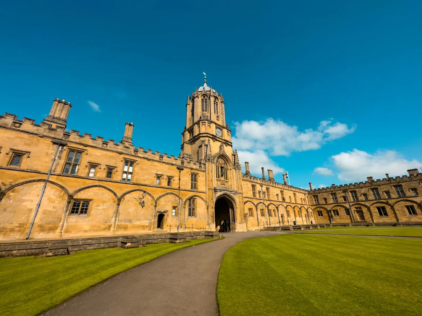
Christ ChurchPhoto James Wood / Unsplash
Places to explore near Oxford StationOxford
74 places within 10 km — the standouts first, nearest first within each group. 1 is a national icon.
Worth the tripnational icons and local highlights within reach
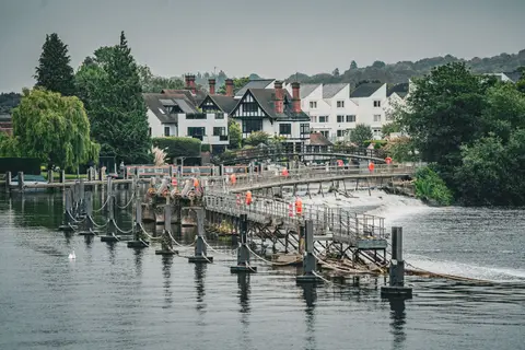
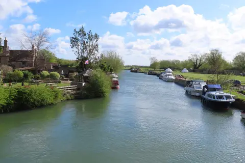
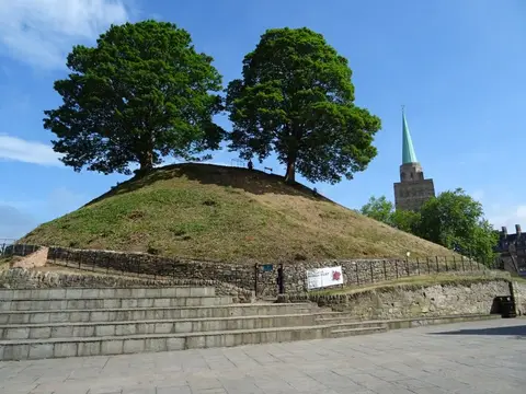
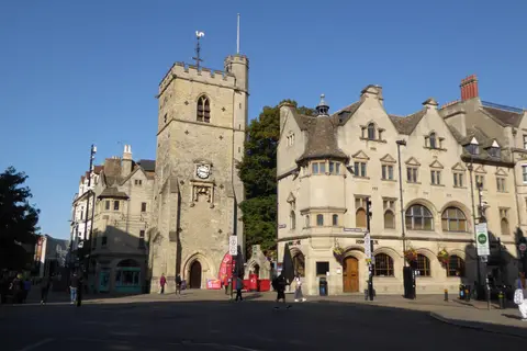

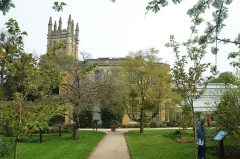
Also nearbygood places nearby, nearest first
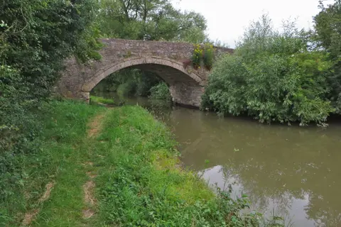
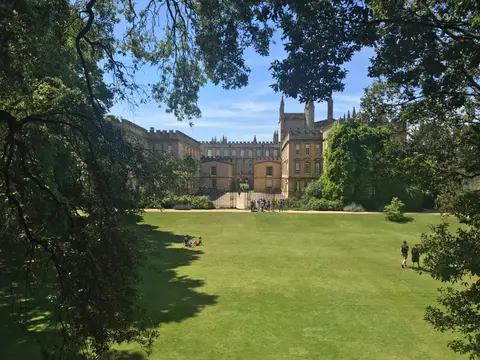
Everything else within 10 km (59) — reserves, earthworks & places to check before travelling
- Wheatley WindmillWindmill8.4 km E
- The Harcourt ArmsPub8.9 km W
- Abingdon County HallLandmark9.2 km S
- Harcourt ArboretumGarden9.3 km SE
- Rewley AbbeyAbbeyaccess unclear0.2 km NE
- Worcester CollegeHouse & gardenaccess unclear0.4 km NE
- Osney AbbeyAbbeyaccess unclear0.5 km S
- Port MeadowSSSI1 km N
- The FishesPub1.3 km SW
- Magdalen GroveSSSIaccess unclear1.5 km E
- New Marston MeadowsSSSIaccess unclear1.7 km NE
- The PerchPub1.8 km NW
- Wytham WoodsSSSIaccess unclear1.9 km W
- Hook Meadow and The Trap GroundsSSSI2.2 km N
- St Mary's Church, IffleyChurch2.4 km SE
- Iffley MeadowsSSSIaccess unclear2.5 km SE
- Hurst HillSSSIaccess unclear3.2 km SW
- Godstow AbbeyNunneryaccess unclear3.4 km NW
- Wolvercote Mill StreamSwimming spot3.5 km NW
- Wolvercote MeadowsSSSI3.7 km NW
- Pixey and Yarnton MeadsSSSI3.8 km NW
- Lye ValleySSSIaccess unclear4.2 km E
- Littlemore Railway CuttingSSSIaccess unclear4.4 km SE
- Rock EdgeSSSIaccess unclear4.4 km E
- Magdalen QuarrySSSIaccess unclear4.7 km E
- Sidling's Copse and College PondSSSIaccess unclear5 km NE
- Wytham Ditches and FlushesSSSIaccess unclear5 km NW
- CumnorSSSIaccess unclear5.3 km SW
- Cassington MeadowsSSSIaccess unclear5.5 km NW
- SugworthSSSIaccess unclear5.5 km S
- Woodeaton WoodSSSIaccess unclear5.8 km NE
- Cothill FenSSSI6.1 km SW
- Woodeaton QuarrySSSIaccess unclear6.4 km NE
- Eynsham AbbeySite of a former abbeyaccess unclear7.6 km NW
- Dry Sandford PitSSSIaccess unclear7.6 km SW
- ShotoverHouse & gardenaccess unclear7.8 km E
- CothillNational Nature Reserve8 km SW
- Rushy MeadowsSSSIaccess unclear8 km N
- Littleworth Brick PitSSSIaccess unclear8.4 km E
- The Mole InnPub8.4 km SE
- Frilford Heath, Ponds and FensSSSIaccess unclear8.5 km SW
- Stanton Great WoodSSSIaccess unclear8.5 km E
- Holly WoodSSSIaccess unclear8.6 km NE
- Holton WoodSSSIaccess unclear8.6 km E
- Lyehill QuarrySSSIaccess unclear8.7 km E
- Garsington ManorHouse & gardenaccess unclear8.9 km SE
- Bladon campHillfortaccess unclear8.9 km NW
- OtmoorSSSIaccess unclear8.9 km NE
- Stanton HarcourtSSSIaccess unclear9 km W
- Beckley ParkHouse & gardenaccess unclear9.2 km NE
- Nuneham CourtenayHouse & gardenaccess unclear9.2 km S
- Abingdon AbbeyAbbeyaccess unclear9.2 km S
- Appleton Lower CommonSSSIaccess unclear9.2 km SW
- Barrow Farm FenSSSIaccess unclear9.2 km SW
- WheatleyVillage9.2 km E
- Devil's QuoitsChambered tombaccess unclear9.5 km W
- Waterperry WoodSSSI9.5 km E
- Culham BrakeSSSIaccess unclear9.8 km S
- Two sections of a Roman road on Ot MoorRoman archaeological siteaccess unclear9.9 km NE
Ordered by how far each place is worth travelling for, then by distance. Distances are straight-line to the nearest edge of each place — paths wind, of course.