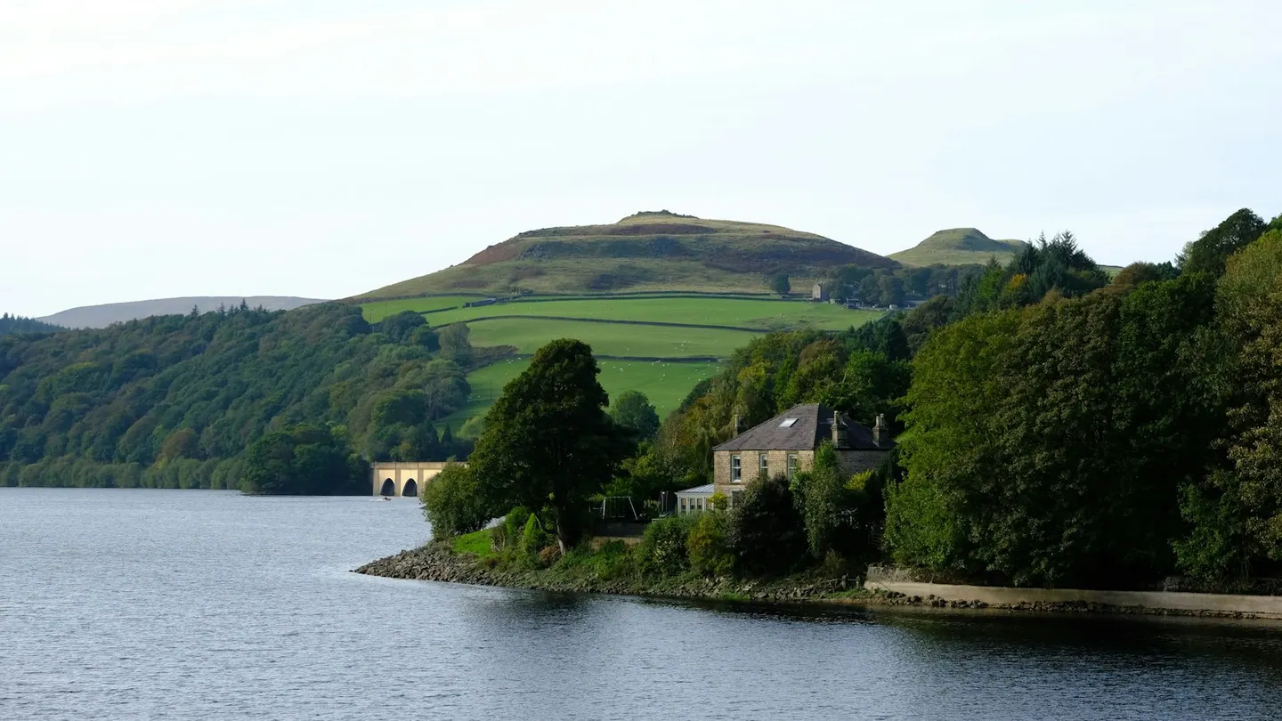
A great Y-shaped Peak District reservoir over two drowned villages, in the valley where the Dambusters crews practised
Ladybower is the lowest and largest of three reservoirs in the Upper Derwent Valley, a long Y-shaped sheet of water held back by a big earth dam at its southern end. It was built in stages between the 1930s and the 1940s, and filling it drowned two villages — Ashopton and Derwent — whose remains sometimes show through the mud when the water drops in a dry summer.
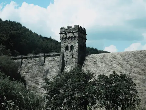
The valley is best known for the Dambusters: in 1943 the crews of 617 Squadron practised their low-level runs over the dams here before the raid on the Ruhr dams in Germany, and the stone-towered Derwent Dam just upstream still pulls in visitors for that reason. The whole valley is popular for easy days out, with a mostly flat walking and cycling route up the western side, quieter still when the top road is closed to cars at weekends.
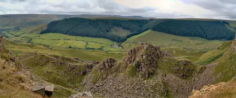
Around it the moors of the Dark Peak rise steep and boggy, and the gritstone shelf of Bamford Edge is the best viewpoint down over the water. Derwent Reservoir lies immediately above Ladybower to the northwest. The nearest village is Hope, a few miles south, and there are car parks and a visitor point in the valley. As on any reservoir, the water is cold and deep, and it’s for looking at rather than swimming.