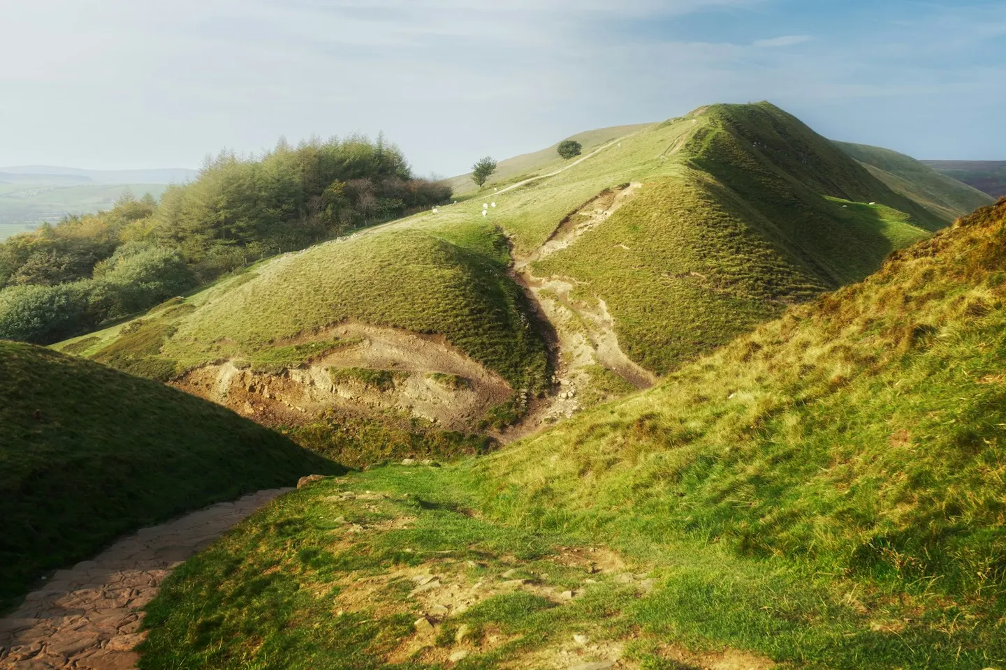
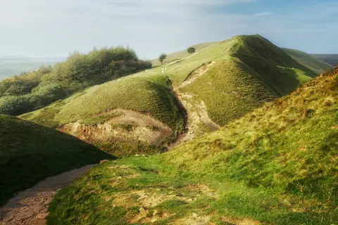
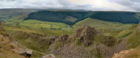
Mam TorPhoto Ian Cylkowski / Unsplash
Places to explore near Hope (Derbyshire) StationHope
Hope (Derbyshire) Station sits inside the Peak District National Park. 80 places within 10 km — the standouts first, nearest first within each group. 6 are national icons.
Worth the tripnational icons and local highlights within reach
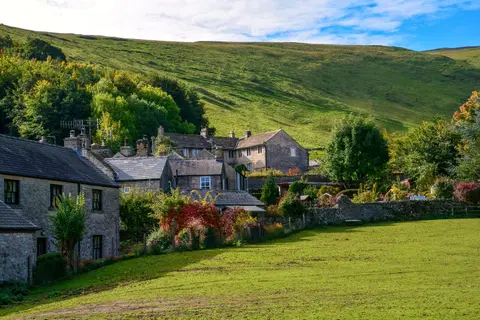
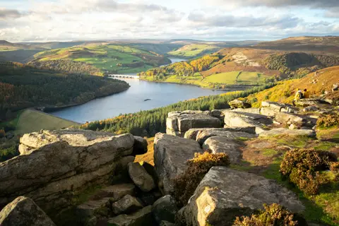
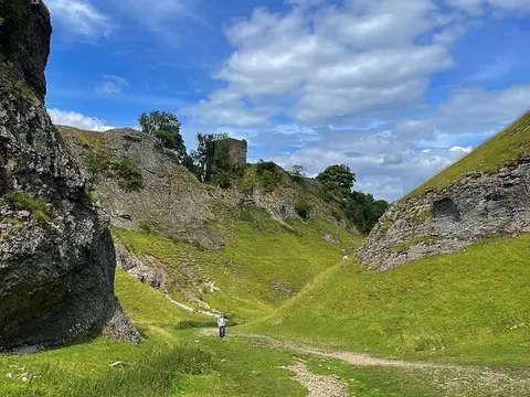


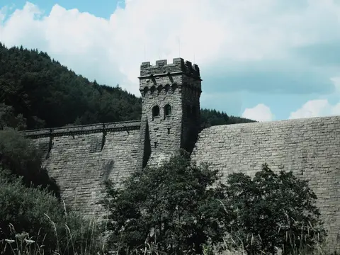
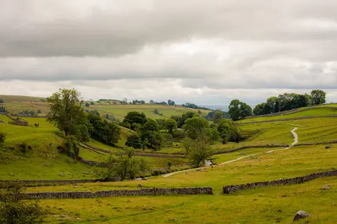
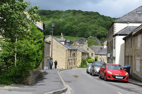
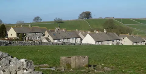
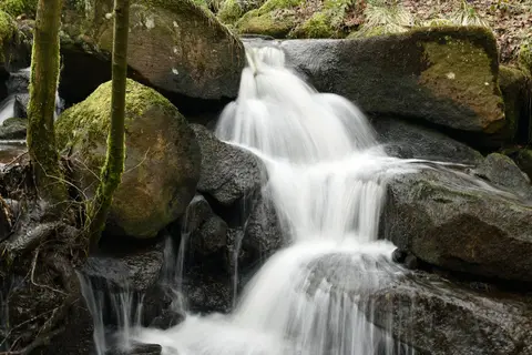
Also nearbygood places nearby, nearest first
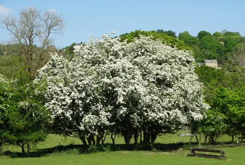
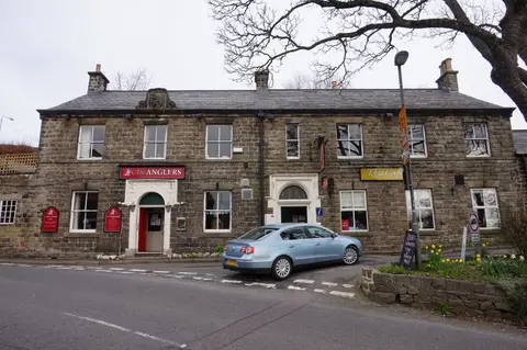
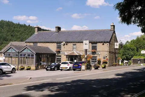
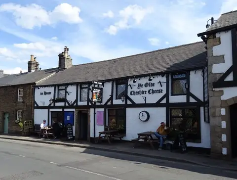
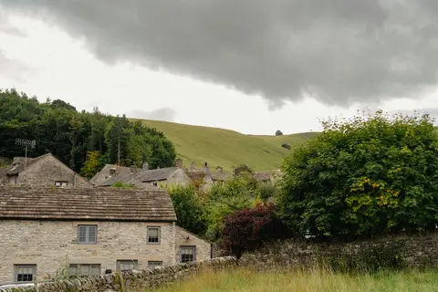
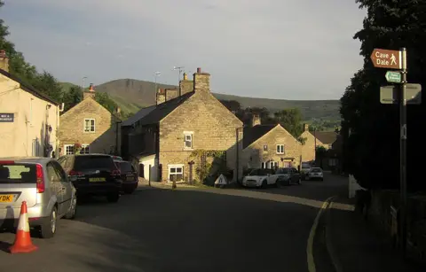
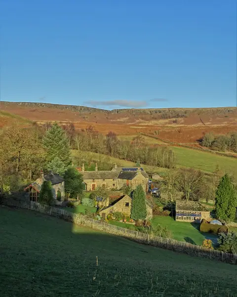
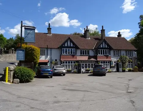

Everything else within 10 km (48) — reserves, earthworks & places to check before travelling
- Longshaw Country ParkCountry park6.2 km SE
- Old Nag's HeadPub6.4 km NW
- The Bull's Head (Foolow)Pub6.6 km S
- Burbage MoorCountry estate7 km E
- EdaleSSSI7.2 km W
- Derbyshire DalesNational Nature Reserve7.7 km S
- Cressbrook DaleSSSI7.7 km S
- Three Stags' HeadsPub7.7 km S
- St Lawrence's Church, EyamChurch7.8 km SE
- Miners' ArmsPub7.9 km SE
- St John the Baptist, TideswellChurch8 km S
- The Red Lion (Litton)Pub8.3 km S
- Derwent and Howden MoorsCountry estate8.4 km N
- EdaleCountry estate8.6 km W
- Alport ValleyCountry estate8.8 km NW
- The Wye ValleySSSI8.8 km S
- Longstone MoorSSSI9.1 km S
- Navio Roman fortRoman archaeological siteaccess unclear0.6 km S
- Hallam Barn GrasslandsSSSIaccess unclear0.7 km E
- Hope MotteEarthworks of a former castleaccess unclear0.9 km W
- South Lee MeadowsSSSIaccess unclear1.3 km SW
- Dirtlow Rake and PindaleSSSI2.1 km SW
- Bradwell Dale and Bagshaw CavernSSSI2.4 km S
- Bradwell MeadowsSSSIaccess unclear2.5 km S
- Eastern Peak District MoorsSSSI2.7 km NE
- River Derwent at HathersageSSSIaccess unclear2.8 km E
- BamfordVillage2.8 km E
- Castleton Town DefencesCastleaccess unclear3 km W
- Dark PeakSSSI3.6 km NE
- Abney & Bretton CloughsSSSI3.9 km SE
- Lower HollinsSSSIaccess unclear4.9 km NW
- Hordron Edge stone circleStone circle5 km NE
- Oxlow RakeSSSI5 km SW
- Portway MineSSSI5.5 km W
- Camp Green ringworkEarthworks of a former castleaccess unclear5.6 km E
- Stanage Edge Roman roadRoman archaeological site5.6 km E
- Tideslow RakeSSSI5.7 km S
- Waterfall MeadowsSSSIaccess unclear6 km S
- Batham Gate, Roman roadRoman archaeological siteaccess unclear6.1 km SW
- Wet WithensStone circle6.2 km SE
- Stoney Middleton DaleSSSI6.4 km S
- Rowlee BridgeSSSIaccess unclear6.7 km NW
- Lee Farm Meadow, TideswellSSSIaccess unclear6.9 km SW
- Monk's DaleSSSI7.8 km SW
- The Barrel InnPub7.9 km SE
- Yarncliff Wood, PadleySSSI8 km SE
- Carl Wark hillfortHillfort8.1 km E
- GrindlefordVillage8.2 km SE
Ordered by how far each place is worth travelling for, then by distance. Distances are straight-line to the nearest edge of each place — paths wind, of course.