Open accesson open access land, where the right to roam applies
Standing remainssubstantial fabric survives to stand in front of
Save this place
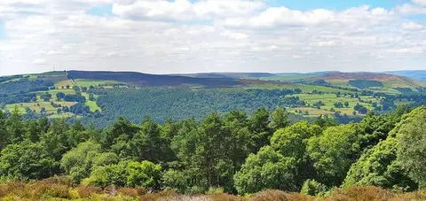
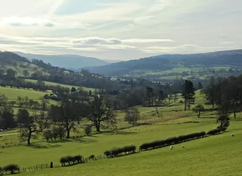
Wet Withens is one of six stone circles the Albion Guide charts in Derbyshire. It sits within the Peak District National Park. For arrivals by rail, Hathersage Station is 2.2 km to the north. The nearest other stone circle is Carl Wark hillfort, 4.2 km to the north-east.
More at the National Heritage List entry