
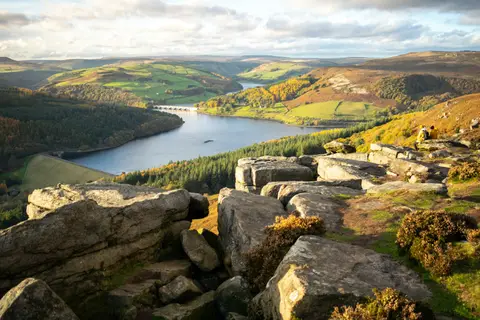
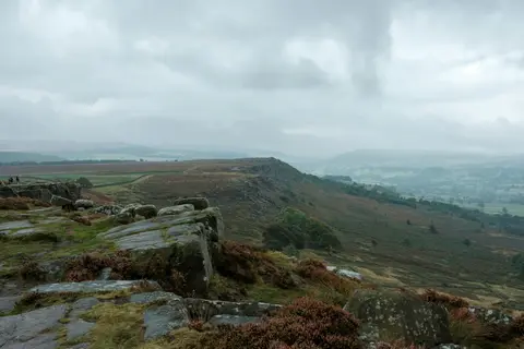
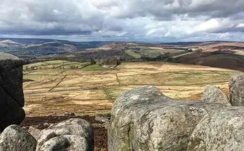
Stanage EdgePhoto Adam Dore / Unsplash
Places to explore near Hathersage StationHathersage
Hathersage Station sits inside the Peak District National Park. 73 places within 10 km — the standouts first, nearest first within each group. 6 are national icons.
Worth the tripnational icons and local highlights within reach

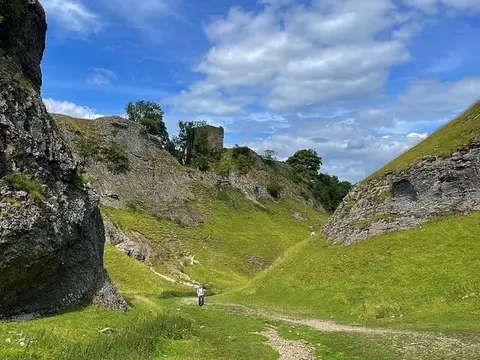
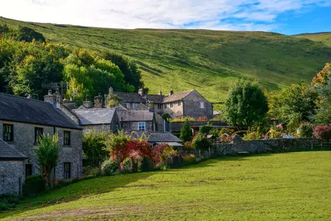
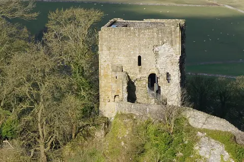
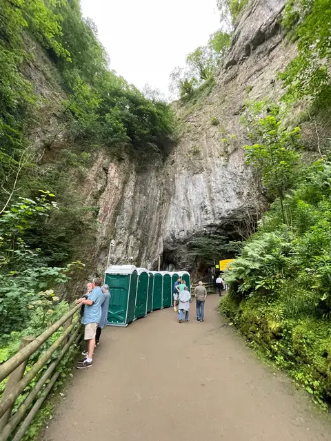

Also nearbygood places nearby, nearest first
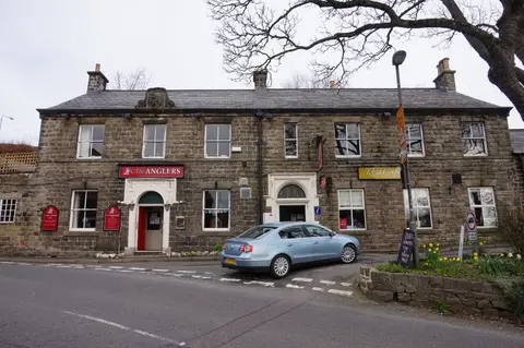
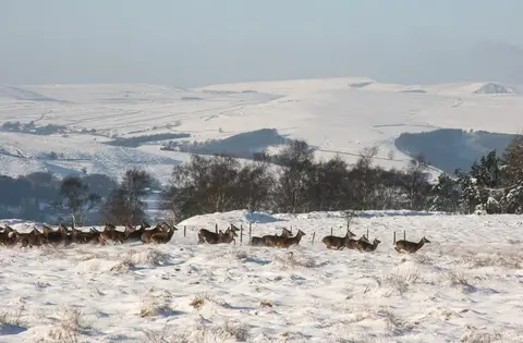
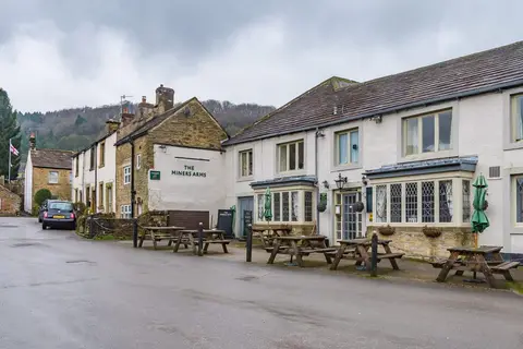
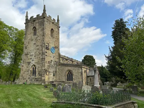
Everything else within 10 km (47) — reserves, earthworks & places to check before travelling
- Yorkshire Bridge InnPub5.1 km NW
- EyamCountry estate5.2 km SW
- Stoney MiddletonVillage5.6 km S
- The Bull's Head (Foolow)Pub5.9 km SW
- Highfields, Stoney MiddletonNature reserve6.9 km S
- Three Stags' HeadsPub7.5 km SW
- Derbyshire DalesNational Nature Reserve7.6 km SW
- Cressbrook DaleSSSI7.6 km SW
- Longstone MoorSSSI7.8 km SW
- CastletonSSSI8.3 km W
- Ye Olde Cheshire Cheese InnPub8.3 km W
- Limestone WayLong-distance path8.4 km W
- BaslowVillage9 km S
- The Red Lion (Litton)Pub9.1 km SW
- The Wye ValleySSSI9.3 km SW
- St John the Baptist, TideswellChurch9.6 km SW
- River Derwent at HathersageSSSIaccess unclear0.6 km SW
- Camp Green ringworkEarthworks of a former castleaccess unclear0.9 km N
- Eastern Peak District MoorsSSSI1.4 km E
- Abney & Bretton CloughsSSSI1.9 km SW
- Wet WithensStone circle2.2 km S
- Yarncliff Wood, PadleySSSI2.4 km SE
- Carl Wark hillfortHillfort2.7 km E
- GrindlefordVillage2.8 km SE
- BamfordVillage2.9 km NW
- Stanage Edge Roman roadRoman archaeological site3.8 km N
- Stoney Middleton DaleSSSI4.7 km SW
- Hallam Barn GrasslandsSSSIaccess unclear4.8 km NW
- The Barrel InnPub4.8 km S
- Waterfall MeadowsSSSIaccess unclear5 km SW
- Navio Roman fortRoman archaeological siteaccess unclear5.3 km W
- Bradwell MeadowsSSSIaccess unclear5.5 km W
- Bradwell Dale and Bagshaw CavernSSSI5.7 km SW
- Hordron Edge stone circleStone circle6.1 km N
- Coombs DaleSSSI6.1 km S
- South Lee MeadowsSSSIaccess unclear6.1 km W
- Dark PeakSSSI6.2 km NW
- Cairnfield and embanked stone circleStone circle6.4 km SE
- Hope MotteEarthworks of a former castleaccess unclear6.6 km W
- Dirtlow Rake and PindaleSSSI7.2 km W
- Tideslow RakeSSSI7.9 km SW
- Castleton Town DefencesCastleaccess unclear8.4 km W
- Totley WoodSSSIaccess unclear9.1 km E
- Castle Hill motte (Derbyshire)Castleaccess unclear9.2 km E
- Jumble CoppiceSSSIaccess unclear9.5 km S
- Oxlow RakeSSSI9.6 km W
- Batham Gate, Roman roadRoman archaeological siteaccess unclear10 km W
Ordered by how far each place is worth travelling for, then by distance. Distances are straight-line to the nearest edge of each place — paths wind, of course.