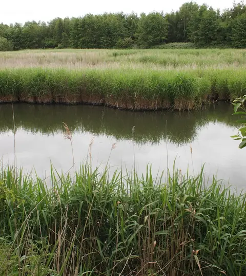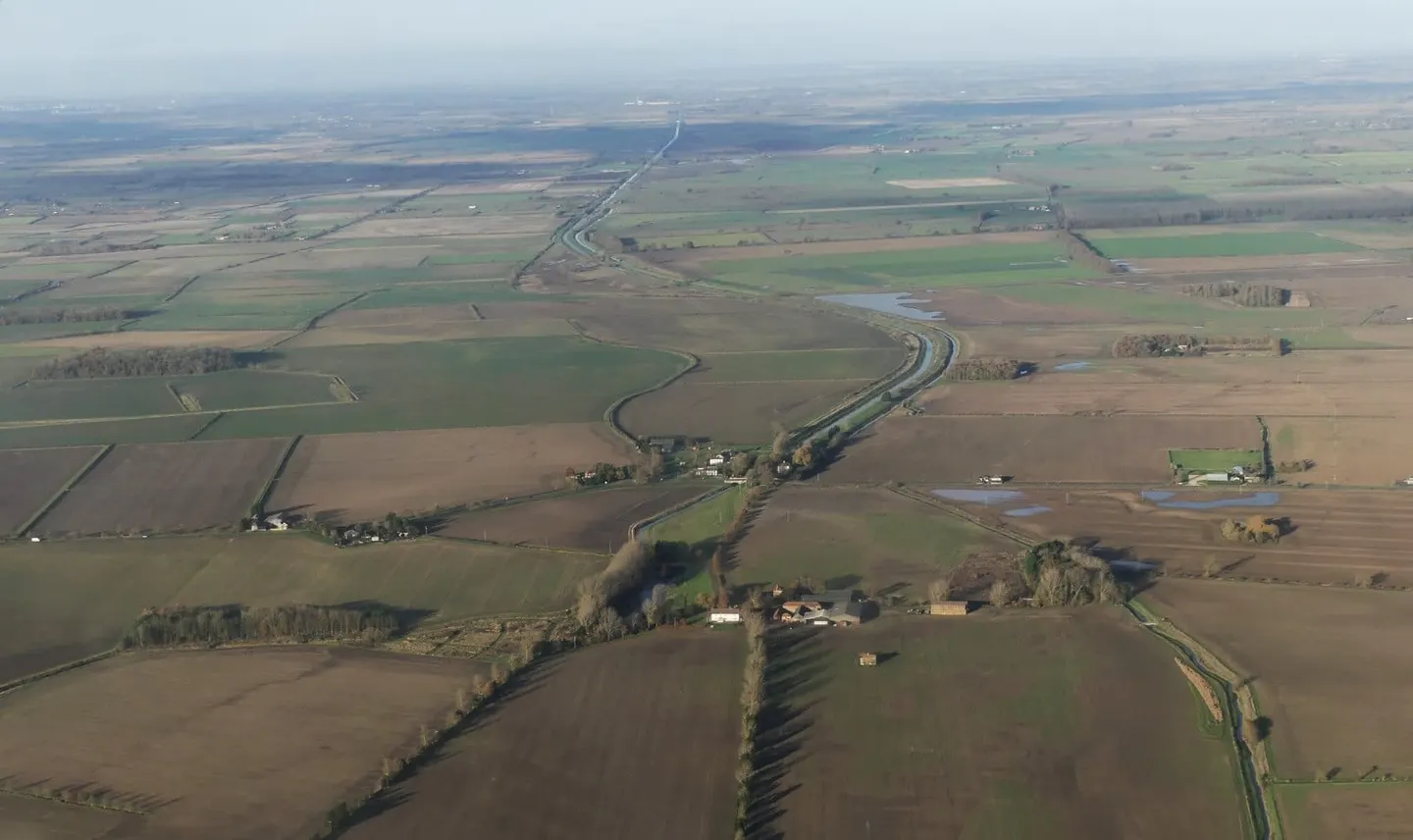
A straightened fen river running north across north Lincolnshire from Bishopbridge to the Humber at South Ferriby
The River Ancholme is a north Lincolnshire river, canalised for drainage and navigation, that runs some seventeen miles from Bishopbridge down to a sluice at South Ferriby, where it empties into the Humber. It is not to be confused with the many upland glens and dales elsewhere; this is a low, flat, purpose-straightened waterway crossing the fenland of the Ancholme Level. There are two locks, at Ferriby Sluice and Harlam Hill, and a short navigable loop off the main cut serving the market town of Brigg.
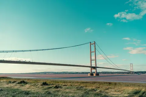
Most of what you see is engineered. The old winding river was straightened in the 1600s to drain the surrounding land, and the work was completed by John Rennie in the 1820s under his New River Ancholme scheme, which enlarged the navigation and gave the level its arrow-straight channel. Rennie’s only suspension bridge, the listed Horkstow Bridge, crosses the river near the northern end. The sluice at South Ferriby keeps Humber silt and tide out of the fresh water above.
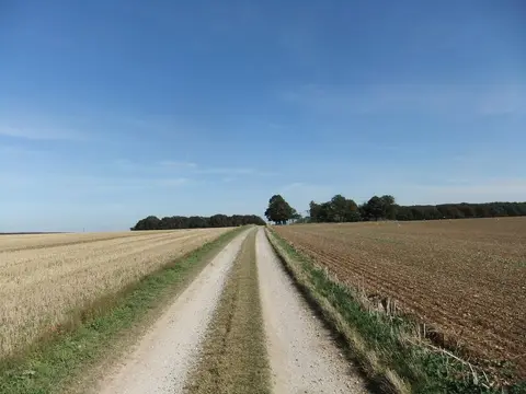
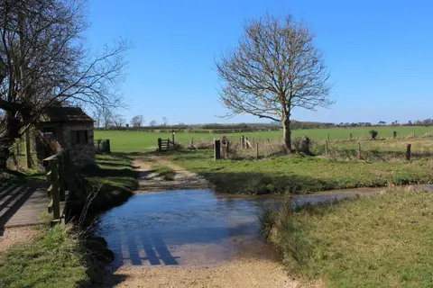
For a walker or paddler this is quiet, level, open country — reed-fringed banks, big skies, and long uninterrupted reaches with few road crossings. Brigg, midway along, is the main town and gives the easiest access, with a station on the Sheffield-to-Cleethorpes line. The upper end above Brigg had fallen derelict by the late 20th century and was reopened to navigation in 2004.
The Ancholme is managed by the Environment Agency rather than the Canal & River Trust, and it sees far less traffic than the Trent-side canals, which is part of its appeal.