A quiet fenland navigation in south Lincolnshire, from Surfleet Seas End up to Tongue End through the Deeping Fen
This is the Lincolnshire River Glen — a slow, embanked fen river of the South Holland levels — not the River Glen of Northumberland or any of the Scottish glens that share the word. It is navigable for about eleven and a half miles, from Surfleet Seas End, where it joins the River Welland, upstream to Tongue End, near the point where the Bourne Eau once connected. A sluice at Surfleet controls the tidal junction with the Welland.
The Glen is a drainage river as much as a navigation. Its lower course was reshaped in the 18th century as part of the scheme to drain the Deeping Fen west of Spalding, engineered by John Grundy, who built a reservoir and sluice at Surfleet in the 1730s so that released water would scour the channel deep. Above Tongue End a pumping station now separates the Glen from the Bourne Eau, keeping the low land drained, so the through route to Bourne no longer exists.
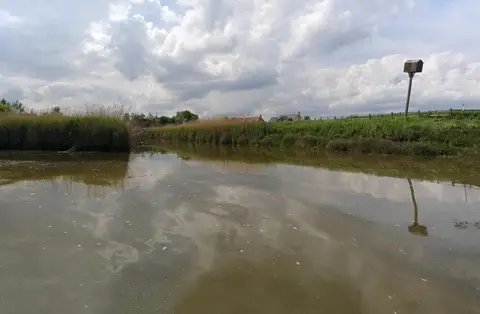
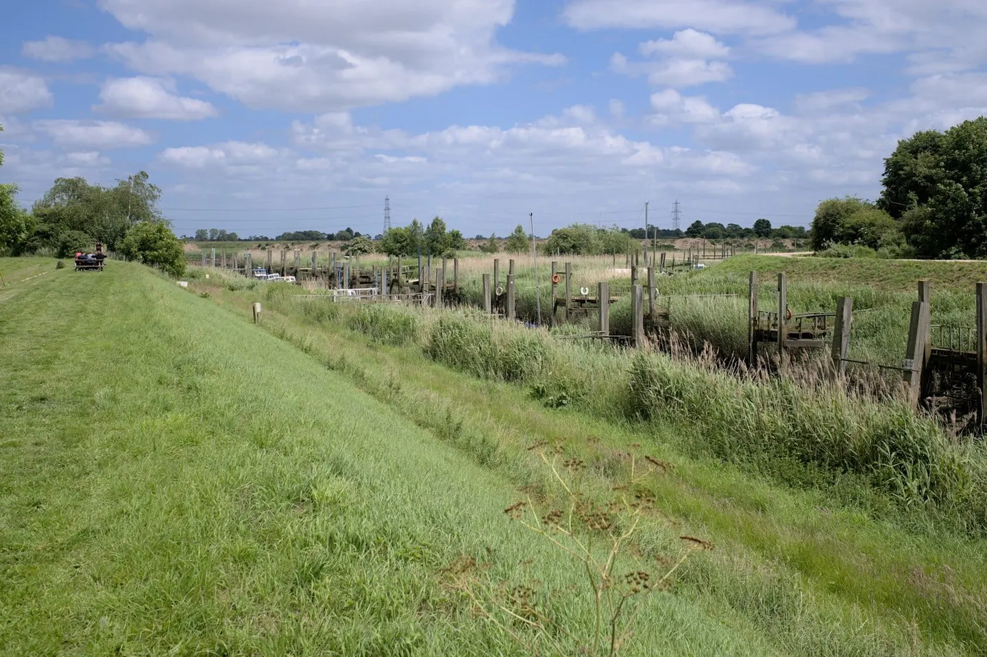
For a boater or walker it is remote and very quiet. The river runs raised above the fields between high flood banks, dead level and often dead straight, through some of the flattest farmland in England. There is little traffic and little shelter, but wide open skies and long views across the fen.
Access is limited. Surfleet, at the downstream end, sits near Spalding; Tongue End is a scattered fen hamlet with no station and few facilities. This is a navigation for people who want emptiness rather than sights, and it repays being taken slowly.