Chalk ridges, quiet combes and one of the finest coastlines in England, from Lyme Bay to Purbeck
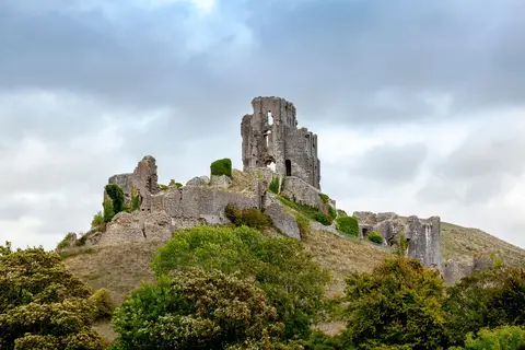
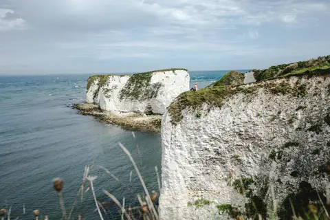
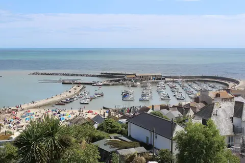
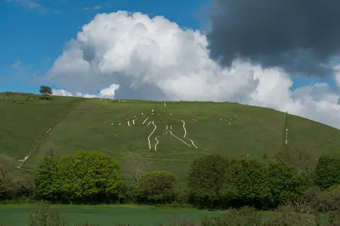
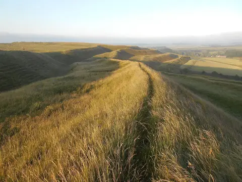
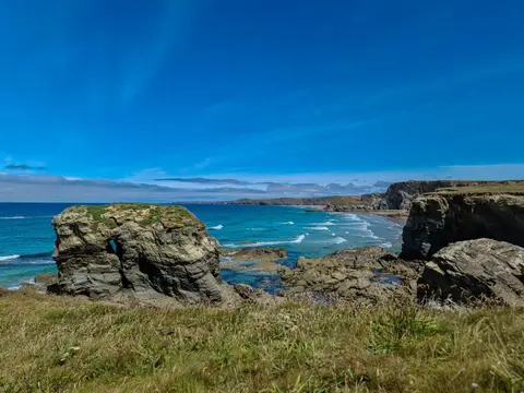
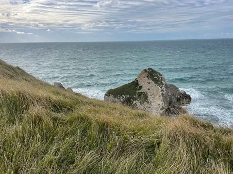
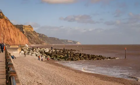
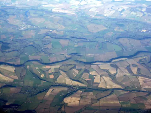
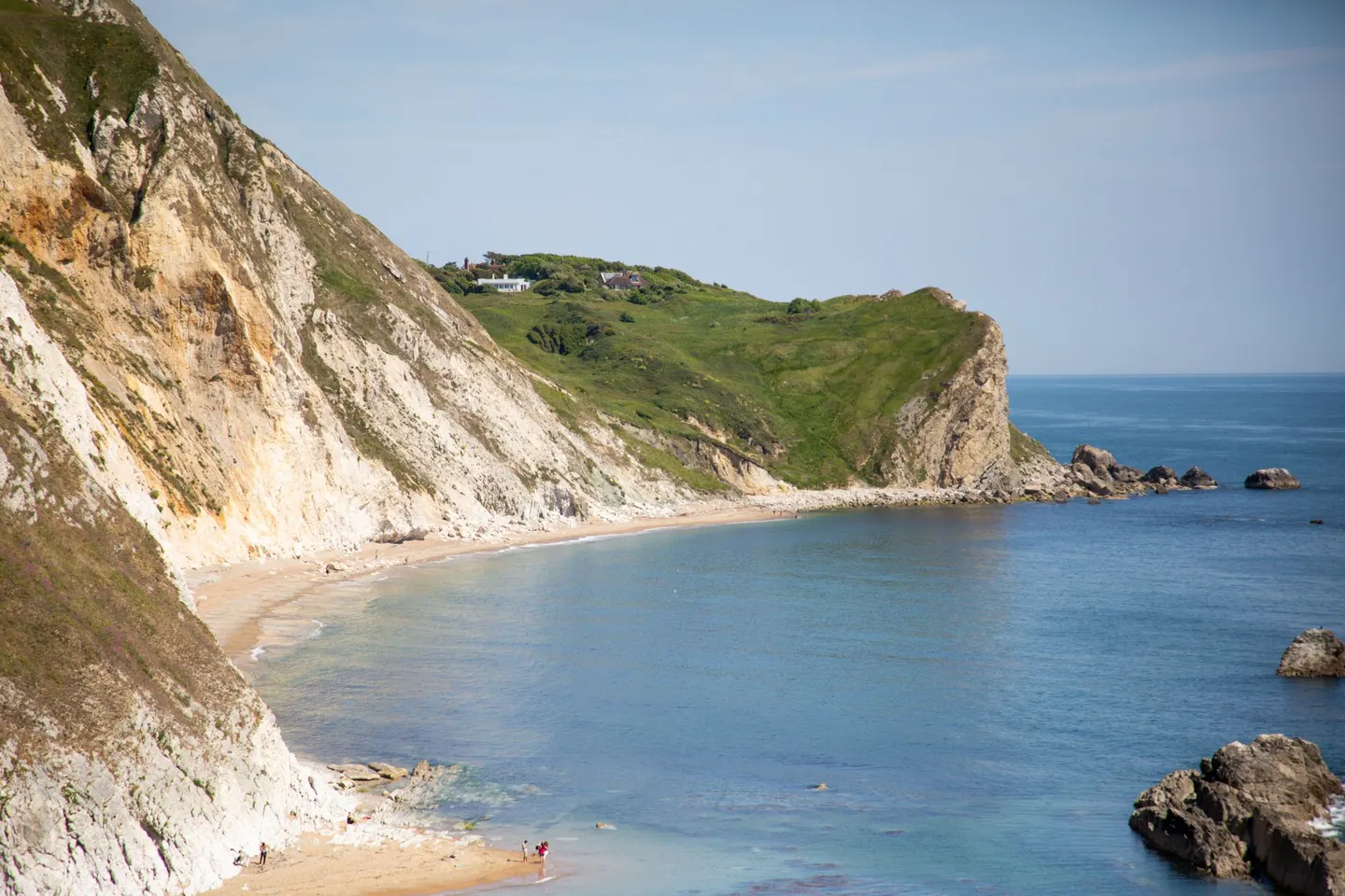
Away from the towns, Dorset keeps a landscape of chalk and greensand hills and tucked-away valleys. The National Landscape covers 1,129 km², taking in much of the county’s countryside and a long run of the shore, from the crumbling cliffs of Lyme Bay east to the Isle of Purbeck.
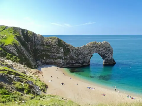
The South West Coast Path is an obvious way to see the best of it, passing Durdle Door and the ridge of Nine Barrow Down above Swanage. Inland, Lewesdon Hill is the highest point in the county, a wooded cap above the Marshwood Vale.
The coast walking is glorious, but the cliffs are live and eroding, so keep well back from the edges, watch the tide on the beaches, and take care after rain when the paths get greasy.