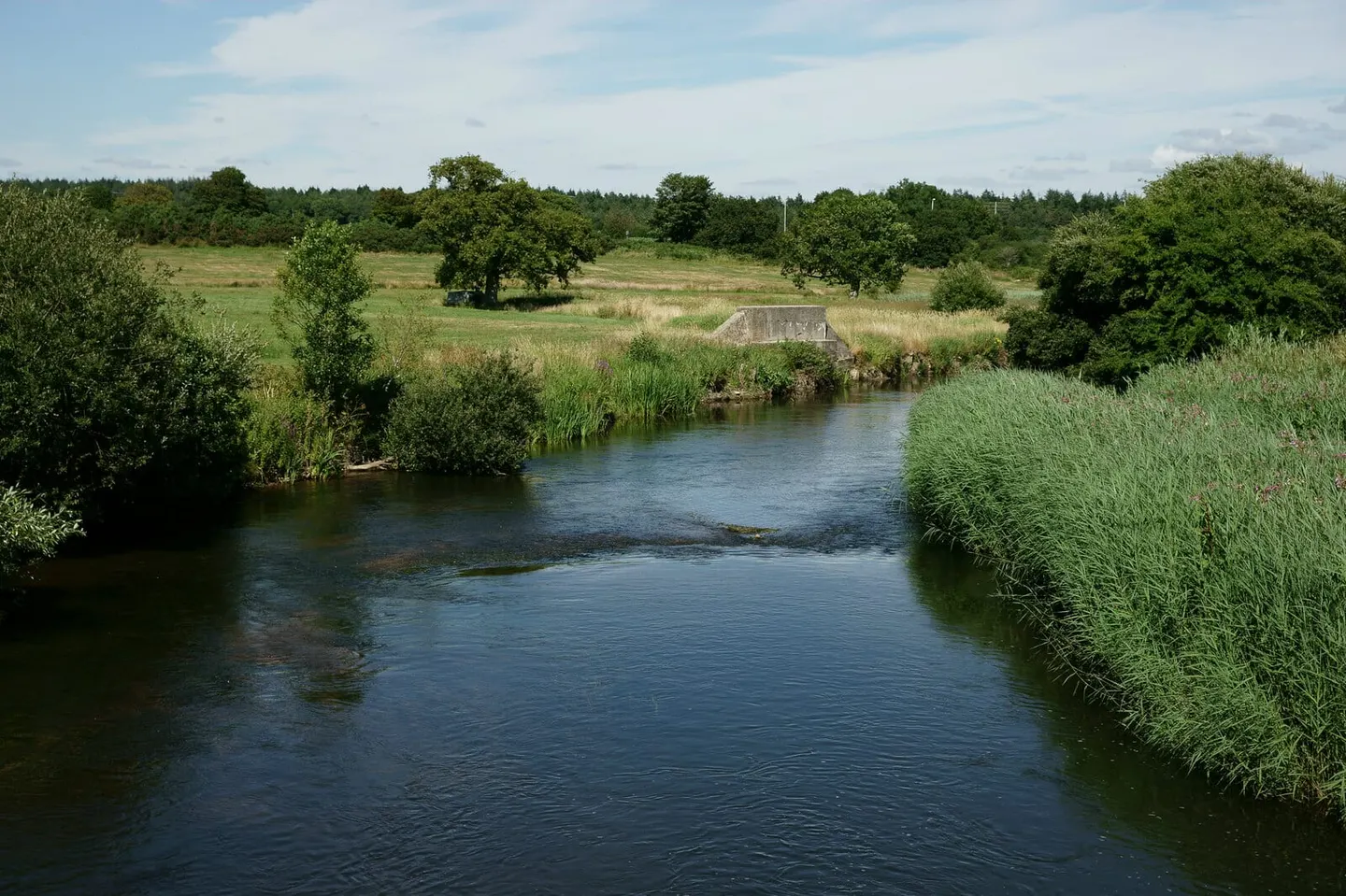
A Dorset chalk river running through water meadows past Dorchester and Wareham to Poole Harbour
The Dorset Frome rises near Evershot and runs about thirty miles south-east to Poole Harbour, and for most of that it is a chalk river: clear, weedy, braided into carriers through the old water meadows. Those meadows were deliberately flooded from the 1600s onwards to bring the grass on early, and the channels and hatches that did it are still visible in the fields either side of the water around Dorchester.
It is a salmon and sea trout river, and one of the most closely studied in the country — a research station at East Stoke has been counting fish on it since the 1950s. Below Wareham the river turns tidal and reedy and opens into the harbour among the Arne Reedbeds.
For getting to the water, the Frome Valley Trail runs from Dorchester to Wareham, where the quay is the obvious spot and you can hire a boat or launch a canoe on the tidal reach. Maumbury Rings and Max Gate are both a short walk from the river at the Dorchester end. Dorchester South and Wareham stations are both close to the bank.