Ninety miles across the middle of Dorset, from the Somerset border to the Hampshire line at Bokerley Dyke
Indicative — sampled from open terrain data along the simplified route.
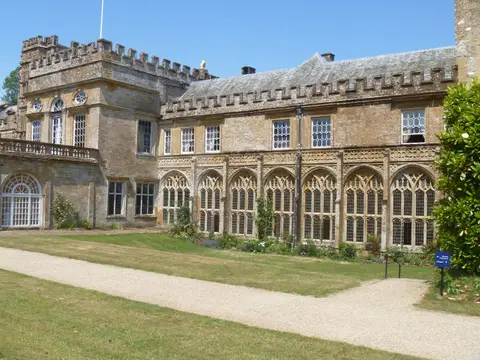
The Jubilee Trail runs for 90 miles clear across Dorset, from Forde Abbey on the Somerset border in the west to Bokerley Dyke, the ancient earthwork on the Hampshire boundary, in the east. It links the two sides of the county through its quiet interior rather than its coast, and takes most walkers about a week.
It was laid out by the Dorset area of the Ramblers to mark the association’s 60th anniversary in 1995, and planned with a particular aim: to keep off the busier routes and seek out little-used field paths and green lanes, opening them up and giving the county an inland walk to set against the coast path. The result threads through the Blackmore Vale and the chalk downs, past rural churches and through villages such as Sturminster Newton, Cerne Abbas and Milton Abbas, before climbing into Cranborne Chase towards the finish.
The walking is gentle to moderate — vale pasture, downland and woodland, with no big hills but a fair amount of up and down over the ridges between valleys. Because it deliberately avoids the main routes it can feel genuinely quiet, and it is the villages, rather than towns, where it pauses.
Being an inland, cross-country route it is harder to reach by train than a coastal path, and several of its stages run between small settlements with limited transport, so it repays a little planning to walk in sections.