A hundred and thirty-six miles of chalk downland from Marlborough to the Dorset coast at Lyme Regis
Indicative — sampled from open terrain data along the simplified route.
The Wessex Ridgeway runs 136 miles from Marlborough in Wiltshire to Lyme Regis on the Dorset coast. It crosses the northern edge of Salisbury Plain, climbs onto the chalk of Cranborne Chase, and finishes among the hills behind Lyme Bay. It is usually walked over ten days to a fortnight.
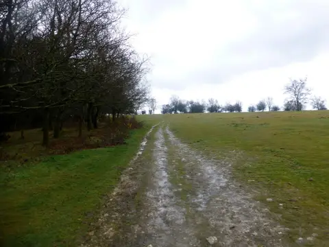
The route is the south-western arm of a much longer prehistoric line. At Marlborough it meets The Ridgeway National Trail, and the two form part of a chalk ridge route that once reached from the Dorset coast to the Wash; the modern path traces that older way south and west. Much of the walking is high, open downland on good tracks, dry and exposed, with wide views and long stretches between villages. It is not technical, but the mileage and the remoteness of the middle make it a committing walk rather than a beginner’s one.
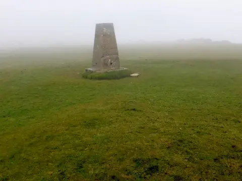
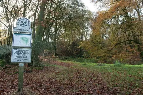
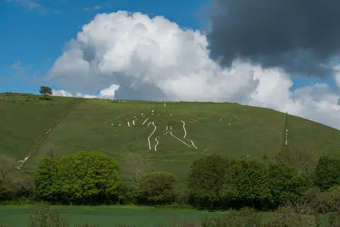
The chalk carries the region’s prehistory, in barrows, field systems and Iron Age hillforts. The final stretch into Dorset is the most dramatic, crossing the ring of hills around the Marshwood Vale — Lewesdon Hill, the county’s highest point, with Pilsdon Pen facing it, and Lambert’s Castle and Coney’s Castle on the ridge above the vale — before the descent to the sea.
The path was set out by Priscilla Houstoun of the Ramblers in the 1980s and opened in 1994. Marlborough and Lyme Regis are both reached by bus rather than train, and the exposed downland in between has few easy exits, so it repays some planning of overnight stops.