Hardy Way
Local highlightMore than two hundred miles through Thomas Hardy's Wessex, starting and ending at the places that bracketed his life
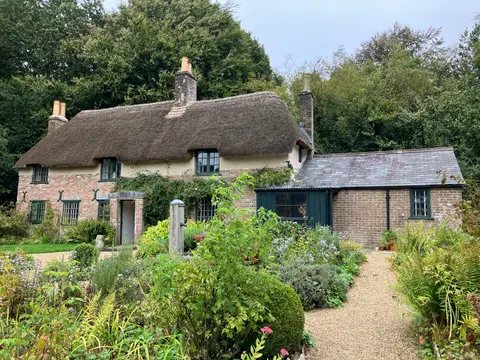
The Hardy Way is a long loop of about 216 miles through the Dorset and south Wiltshire country that Thomas Hardy renamed Wessex in his novels. It starts at Hardy’s Cottage at Higher Bockhampton, the house where he was born, and ends a couple of miles away at Stinsford churchyard, where his heart is buried, so the two ends stand for the beginning and the close of his life. It is reckoned the first long-distance path in Britain built around a writer.
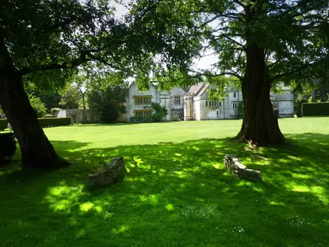
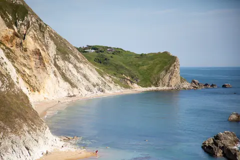
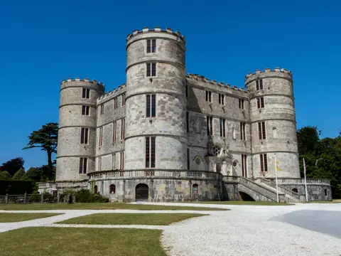
Between those points it wanders widely, taking in the places behind the books and the real settings Hardy drew on: the county town of Dorchester, his Casterbridge, then Cerne Abbas, Sherborne, Shaftesbury, Evershot and, on the coast, Lulworth Cove and Corfe Castle. Much of the walking is through the chalk downs and hidden valleys of the Dorset National Landscape, with a stretch of coast in the south.
At this length it is a major undertaking, though the Albion Guide breaks it into day walks and it is easy to sample a section. The going is mostly downland and field path — undulating rather than steep — and the interest is as much literary as scenic. Green discs marked HW show the way.
Anyone who does not know the novels can still walk it as a broad tour of rural Dorset; for readers of Hardy it is a way of seeing Wessex on the ground, place by place.