Fifty miles down the Parrett from its source in the Dorset hills to the tide on Bridgwater Bay, across the Somerset Levels
The River Parrett Trail follows one river for its whole length, 50 miles from the stream’s source in the hills of west Dorset, near the village of Chedington, down to the mouth of the Parrett on the Somerset coast. It ends at Stert Point, on the flats of Bridgwater Bay where the river meets the Bristol Channel. Most walkers take three or four days over it.
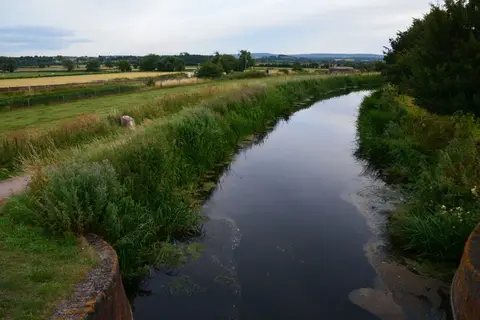
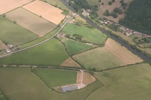
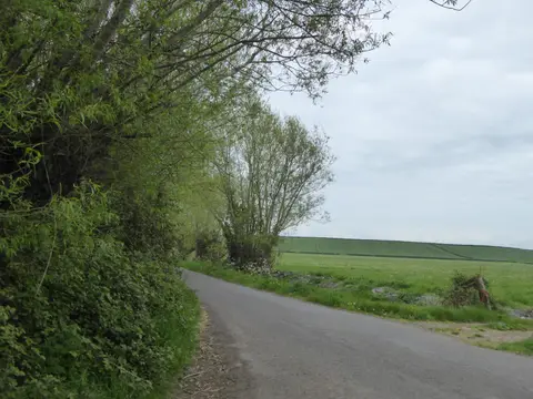
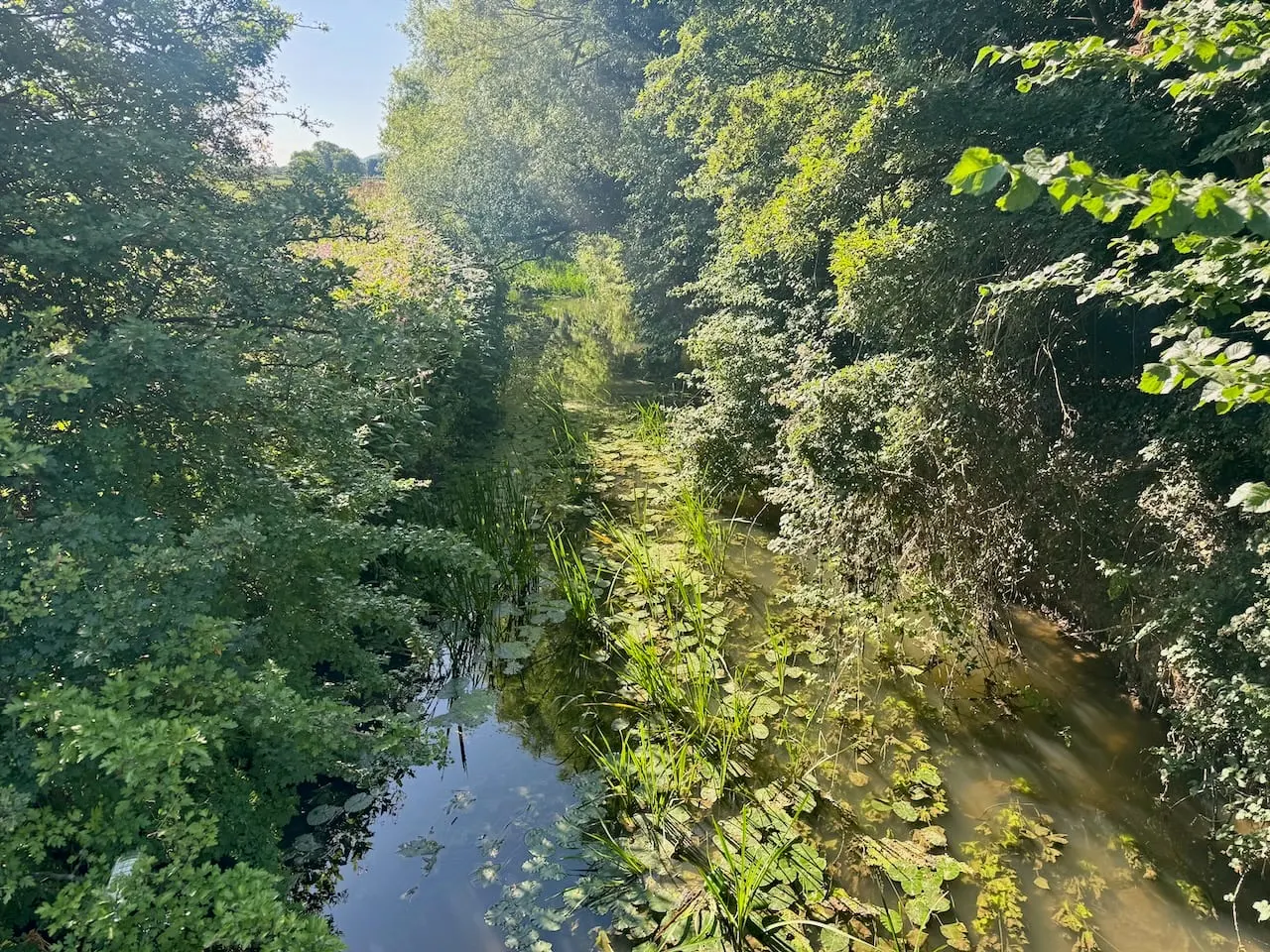
It is easy walking. The upper section crosses the gentle hills of the Dorset and Somerset border, but for much of its length the trail is out on the Somerset Levels and Moors — flat, low, drained wetland threaded with the ditches, locally called rhynes, that keep it dry. There is very little climb once the river is down onto the plain.
The Parrett has a long human history and the trail passes much of it. Near the start it runs below Ham Hill, whose Iron Age hillfort is one of the largest in the country. Further down it reaches Burrow Mump and the low island of Athelney, where King Alfred sheltered from the Danes in 878. Around Stoke St Gregory the withy beds are still cut for basket-making, a Levels industry that survives. The trail finishes at Steart Marshes, a large area of coastal wetland created for wildlife and flood management.
The Parrett is tidal along its lower reaches and prone to flooding — the Levels were badly hit in the winter of 2013–14 — so this is a walk shaped by water management as much as by the river itself. Bridgwater, near the end, has the nearest railway station.