A level fourteen-mile canal across the Somerset Levels, linking Bridgwater's docks to the county town of Taunton
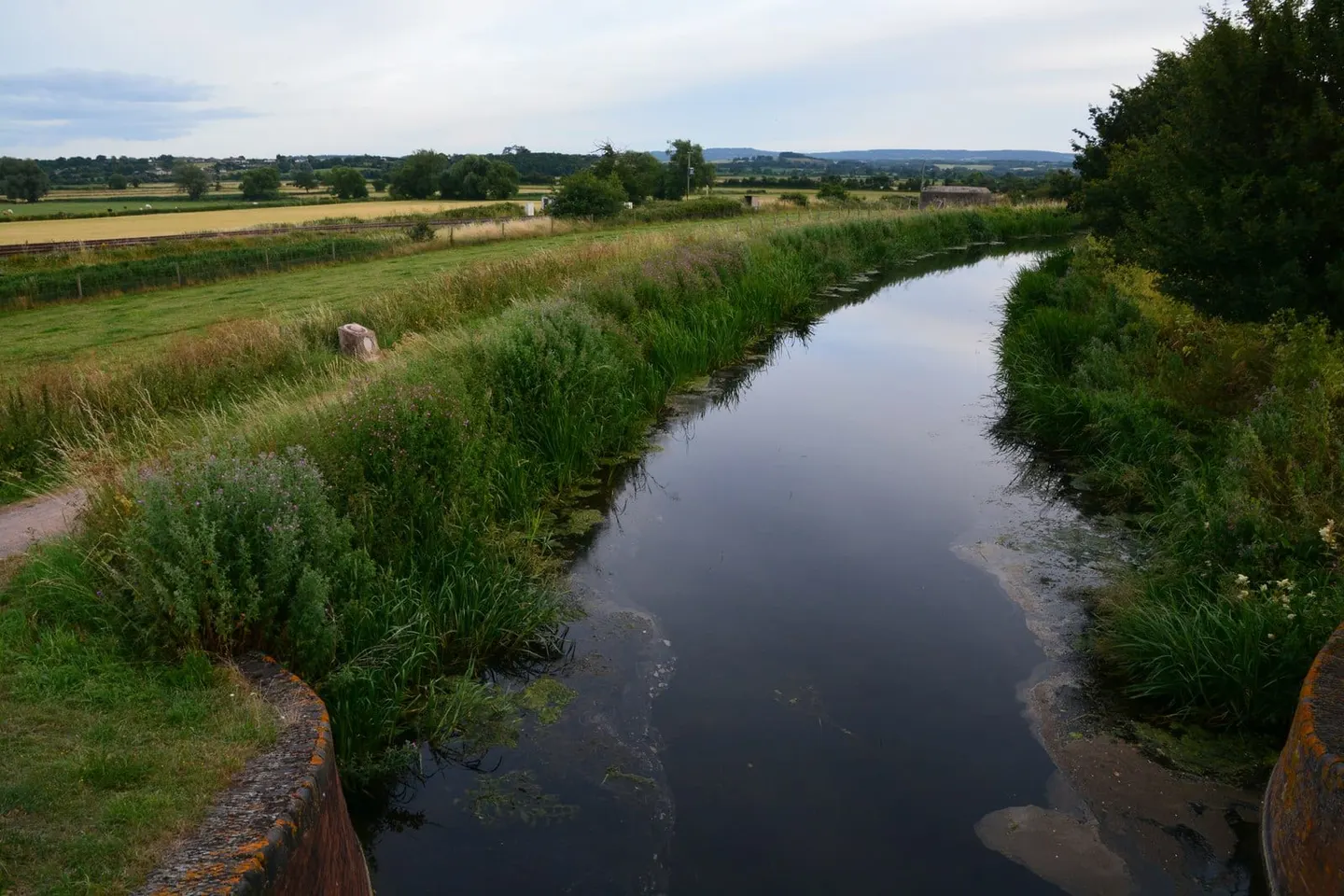
The Bridgwater & Taunton Canal runs 14 miles across the low country of Somerset, from the docks at Bridgwater on the River Parrett up to the edge of Taunton, where it once joined the River Tone. It has seven locks and long level pounds between them, so for walkers, cyclists and paddlers it is easy, flat going the whole way.
It opened in 1827, engineered by James Hollinsworth, and was extended to Bridgwater Docks in 1841 to give the market town of Taunton a coal and cargo route to the sea. Trade was mostly coal, timber and limestone, but it never thrived for long: the Great Western Railway bought the canal in 1867, let its business run down, and the last commercial boat worked it in 1907. It fell derelict for much of the 20th century before being restored and reopened as a leisure waterway.
The canal crosses the flat, watery landscape of the Somerset Levels, running through Creech St Michael and North Newton between the two towns. It is quiet, reed-fringed and rich in wildlife, and the towpath — surfaced for most of its length — carries far more walkers, joggers and cyclists than it does boats.
Both ends sit in towns on the railway. Taunton and Bridgwater are stations on the main line to the West Country, so the towpath is simple to reach and can be walked one way with the train back. At Bridgwater the canal ends in the restored floating harbour and river docks; at the Taunton end it stops short of the town centre, close to where it formerly met the Tone.