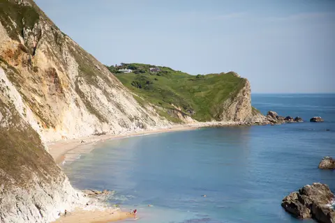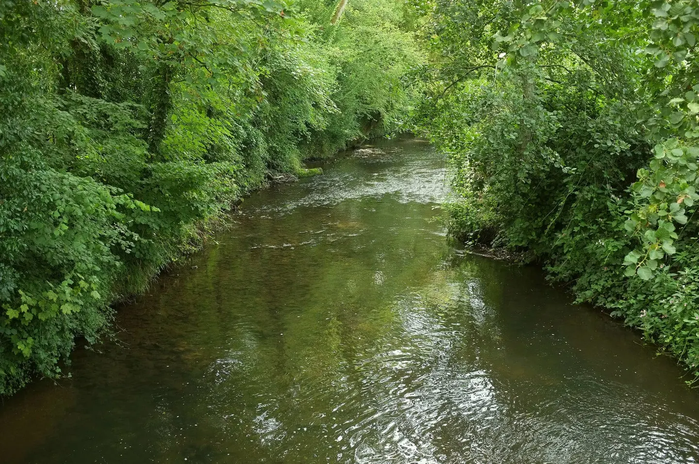
A quiet river running down a broad Devon and Dorset valley to the sea at Seaton, with a wide estuary behind the shingle
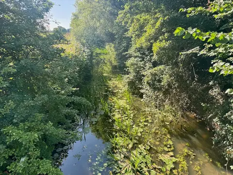
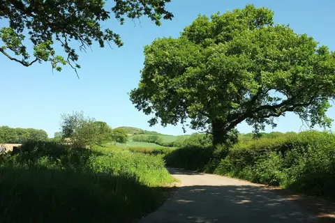
The Axe rises on Beaminster Down in Dorset and runs about twenty-two miles south-west to the sea at Seaton, cutting a wide green valley that marks the boundary between Devon and Dorset for much of the way. It is a lowland river over greensand and clay, slower and siltier than its Exmoor neighbours, and it holds salmon and sea trout along with a long-standing run of coarse fish in the lower reaches.
The estuary is the best of it. Behind the shingle bar at Seaton the river spreads into mudflats and saltmarsh that pull in waders and wildfowl through the winter, and the Seaton Tramway runs along the edge of it, which is an easy and slightly ridiculous way to birdwatch. Broom Gravel Pits upstream are old workings in the floodplain.
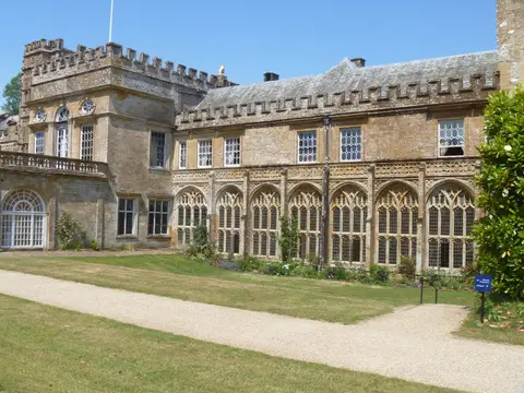
Forde Abbey sits on the river near Chard, its gardens running down to the water. The Axe Valley Way and the East Devon Way both use the valley. Axminster Station is on the river, which makes the middle reach easy to reach by train.