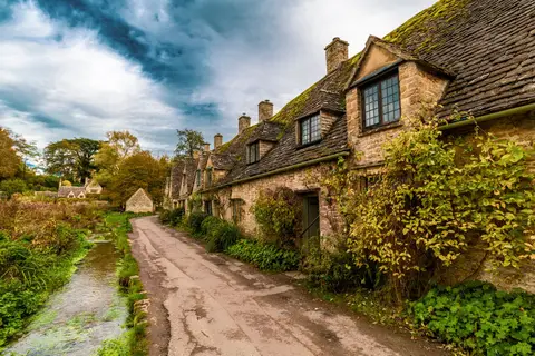
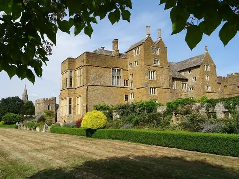
Upper and Lower Brailes run together in honey-coloured stone along the Cotswold edge. This was the third-largest town in Warwickshire in medieval times, when Birmingham was still a hamlet, and the huge fourteenth-century St George’s church — long called the Cathedral of the Feldon — carries a 120-foot tower above the rooftops. Moreton-in-Marsh is the nearest station, about 13km south-west.