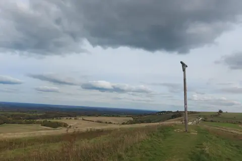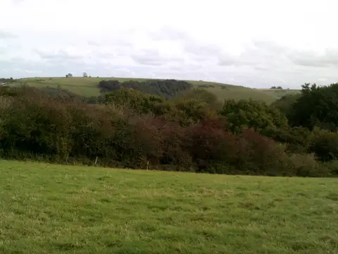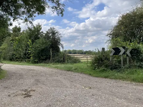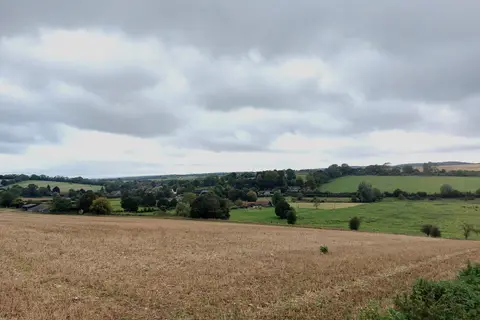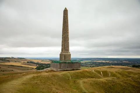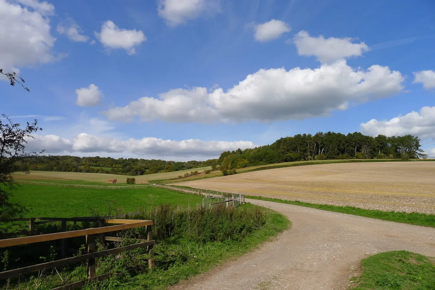
Forty-four miles down the Test valley from the Berkshire downs to Southampton Water, following one of England's great chalk streams
Indicative — sampled from open terrain data along the simplified route.
The Test Way runs 44 miles down the valley of the River Test, one of the famous chalk streams of southern England, prized for its clear water and its trout fishing. It begins high on the downs near Inkpen, close to Combe Gibbet, and follows the river south to Eling, where the Test meets the tide at the head of Southampton Water. It is usually walked in about three days, or broken into eight shorter sections.
The going is easy. From the chalk ridge at the top it drops quickly into the valley and stays low, crossing and recrossing the braided river on farmland paths, water meadow and a long stretch of disused railway — the old Andover to Redbridge line, the “Sprat and Winkle”. The river country is the point of the walk: kingfishers, grebe and marsh harriers, watercress beds, and the wet meadows that chalk streams make. Along the way it passes Mottisfont Abbey, the village of Stockbridge, Wherwell and St Mary Bourne before reaching Romsey and the tidal wharf at Eling.
Because it keeps to the valley floor it is one of the gentler long walks in the south, well waymarked and never far from a village. The southern end is easy to reach from Southampton, and Romsey has a station on the line to Salisbury, so the lower half in particular can be walked point to point by train; the upper reaches are quieter and need a little more planning.
At its head the Test Way meets the Wayfarer’s Walk on the crest of the downs at Inkpen Beacon, where the chalk country the two routes share reaches its highest point.