Photo Annie Spratt / Unsplash
Places to explore near Southampton
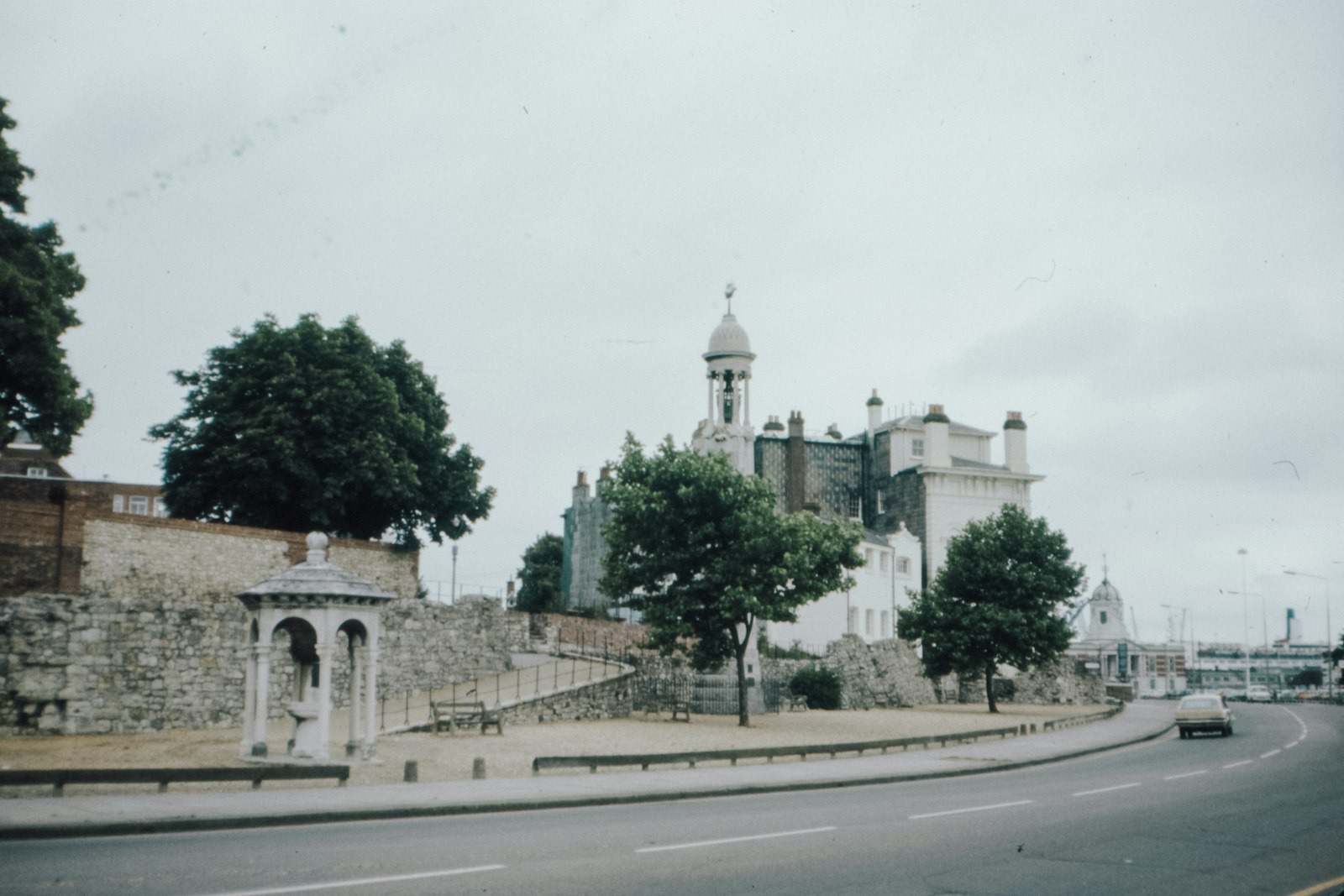
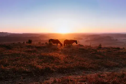
A great port since the Middle Ages, Southampton sits at the head of Southampton Water where the Test and Itchen meet the Solent — the Mayflower and the Titanic both sailed from here. The open heath, oak woods and wild ponies of the New Forest begin just to the west, the chalk streams of the River Test run down from the north, and the tidal Hamble River draws yachts to the east. Across the water lies the Isle of Wight, and the Solent Way links the whole coast.
101 places within 25 km — the standouts first, nearest first within each group. 5 are national icons.
Worth the tripnational icons and local highlights within reach

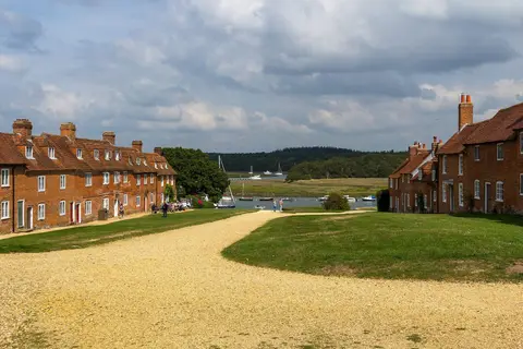
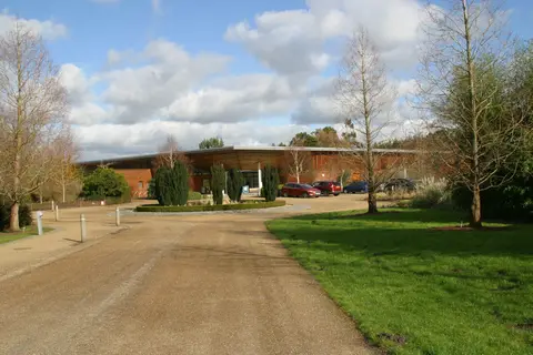
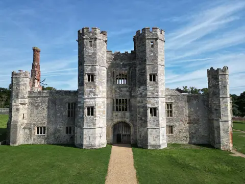
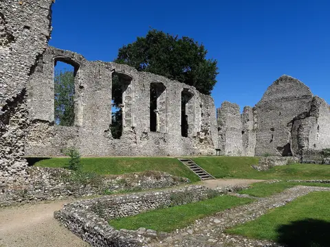
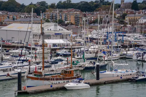
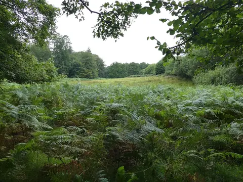
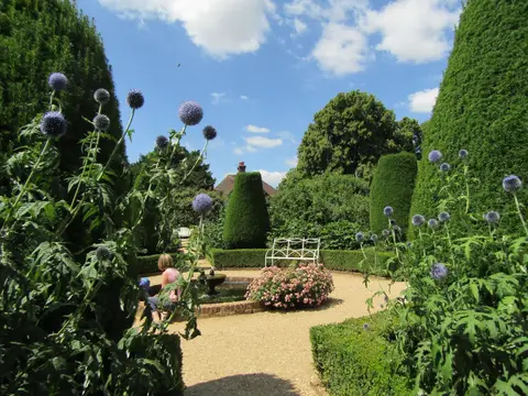
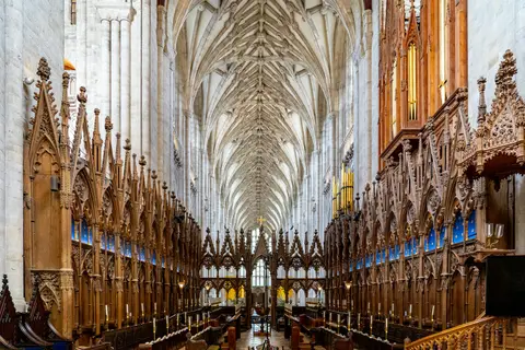
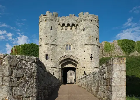
Also nearbygood places nearby, nearest first
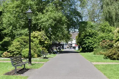
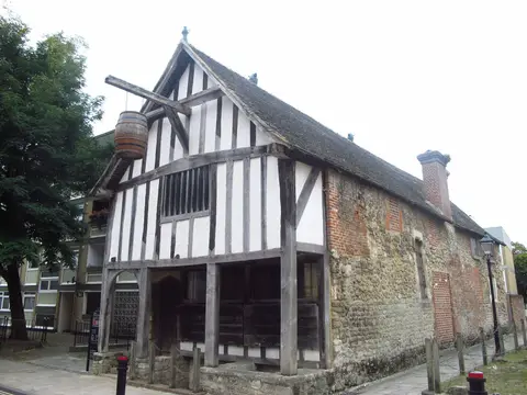

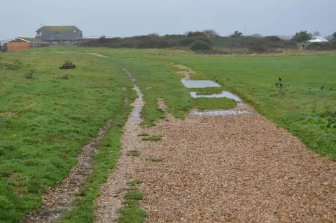
Everything else within 25 km (58) — reserves, earthworks & places to check before travelling
- Itchen Valley Country ParkCountry park4.6 km NE
- Royal Victoria Country ParkCountry park5.3 km SE
- Test WayLong-distance path5.4 km W
- Lakeside Country ParkCountry park6.1 km NE
- BursledonVillage6.9 km E
- River Hamble Country ParkCountry park7 km E
- Hamble-le-RiceVillage7.5 km SE
- Holbury Manor Ponds Country ParkCountry park8.1 km S
- Holly Hill Woodland Park (Fareham)Country park8.5 km SE
- Hamble RiverCoastline9.8 km E
- Romsey AbbeyChurch11.6 km NW
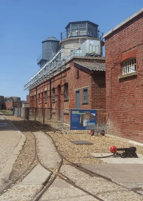
- Calshot CastleArtillery fort11.7 km SE
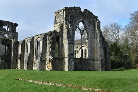
- Titchfield AbbeyAbbey13.1 km SE
- LyndhurstVillage13.1 km W
- Lepe Country ParkCountry park13.4 km S
- St Peter's, TitchfieldChurch13.5 km SE
- The Trusty ServantPub13.8 km W
- Bramshaw CommonsCountry estate14.1 km W
- Bishop's WalthamVillage14.5 km E
- Town wallCastleaccess unclear0.4 km SW
- Lee-on-the Solent to Itchen EstuarySSSI1.3 km E
- Hythe to Calshot MarshesSSSIaccess unclear1.6 km SW
- Dibden BaySSSIaccess unclear1.9 km SW
- Southampton CommonSSSI1.9 km N
- St Denys PrioryPrioryaccess unclear2.8 km NE
- Eling and Bury MarshesSSSIaccess unclear3.3 km W
- Western aqueduct near Netley AbbeyAbbey4.2 km SE
- Netley CastleCastleaccess unclear4.4 km SE
- Bassett AvenueCounty topaccess unclear5 km N
- Lower Test ValleySSSIaccess unclear5.3 km W
- Hickley Wood hillfortHillfortaccess unclear5.7 km E
- Moorgreen MeadowsSSSIaccess unclear6.5 km NE
- Lincegrove and Hackett's MarshesSSSIaccess unclear7 km SE
- Upper Hamble Estuary and WoodsSSSI7.2 km E
- Fletchwood MeadowsSSSIaccess unclear7.8 km W
- North SolentNational Nature Reserve8.1 km SW
- St Andrew's CastleCastleaccess unclear8.3 km SE
- Tatchbury Mount hillfortHillfortaccess unclear9.3 km W
- Baddesley Common and Emer BogSSSI9.4 km N
- Beaulieu AbbeyAbbeyaccess unclear9.9 km S
- Trodds CopseSSSIaccess unclear10.1 km N
- BroadlandsHouse & gardenaccess unclear10.3 km NW
- Botley WoodSSSI11 km E
- Cranbury ParkHouse & gardenaccess unclear11.6 km N
- Ratlake MeadowsSSSIaccess unclear11.6 km N
- Henry's at Master Builder'sPub11.9 km S
- CalshotSwimming spot12.2 km SE
- Calshot Spit Country ParkCountry park12.2 km SE
- Cadland HouseHouse & gardenaccess unclear13.1 km S
- The King's Head (Hursley)Pub13.4 km N
- LepeSwimming spot13.9 km S
- Roydon WoodsSSSI13.9 km SW
- Titchfield HavenNational Nature Reserve14 km SE
- Twyford Roman villaRoman archaeological siteaccess unclear14 km NE
- Lymington RiverSSSIaccess unclear14 km SW
- Malwood CastleCastleaccess unclear14.2 km W
- Merdon CastleCastleaccess unclear14.5 km N
- Waltham Chase MeadowsSSSIaccess unclear14.5 km E
Ordered by how far each place is worth travelling for, then by distance. Distances are straight-line to the nearest edge of each place — paths wind, of course.