A seventy-mile circuit of the whole Isle of Wight coast, over chalk downs, cliffs and seaside towns
Indicative — sampled from open terrain data along the simplified route.
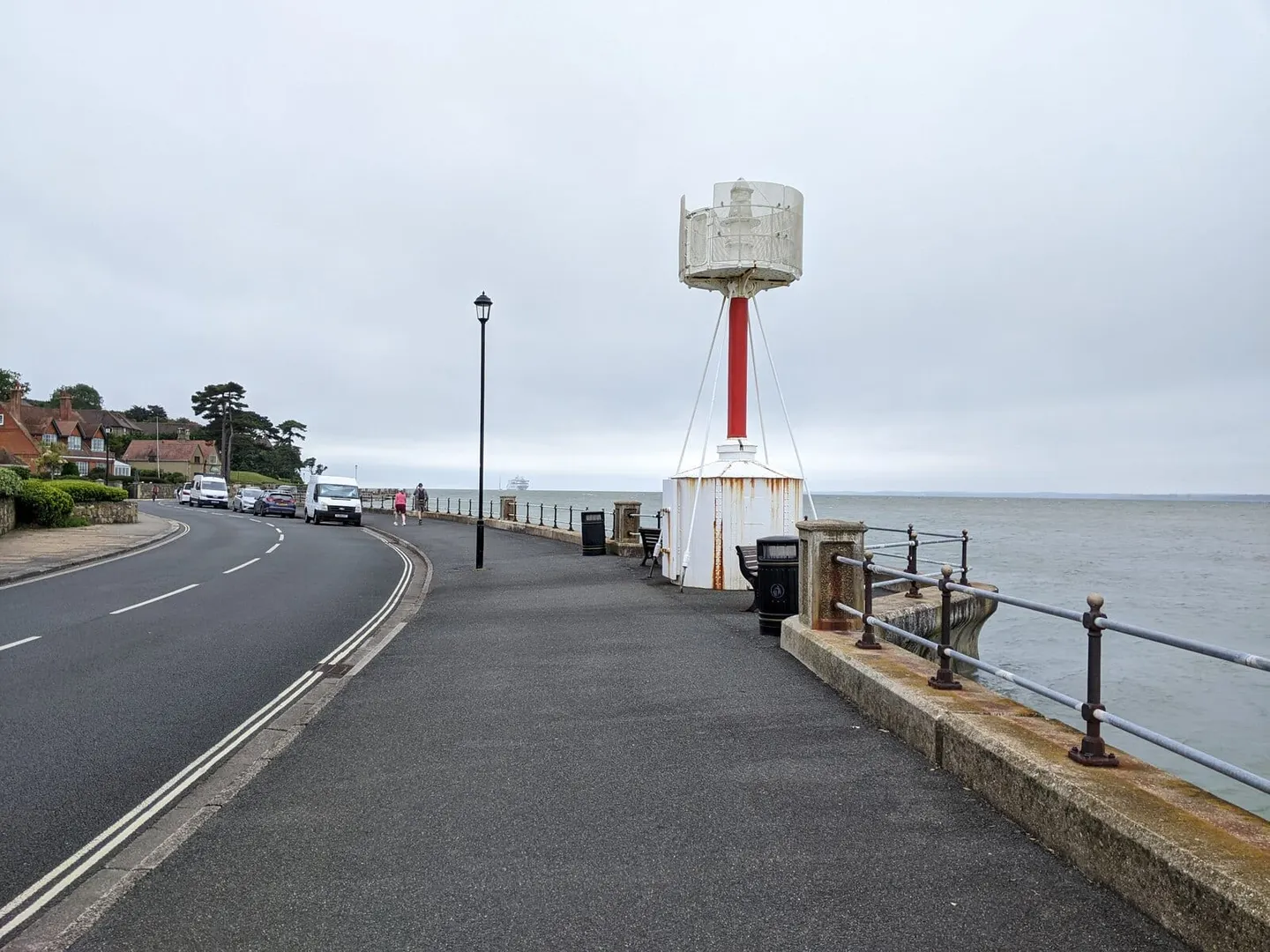
The Isle of Wight Coastal Path runs right around the island, a circular route of about 70 miles that can be started at any point on the coast. Most walkers use Cowes or Ryde as a base, since the ferries land there, and take a week over it. There is no fixed direction, though many go clockwise. A seagull waymark carries the route the whole way.
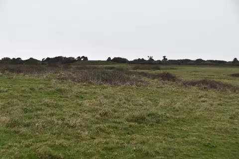
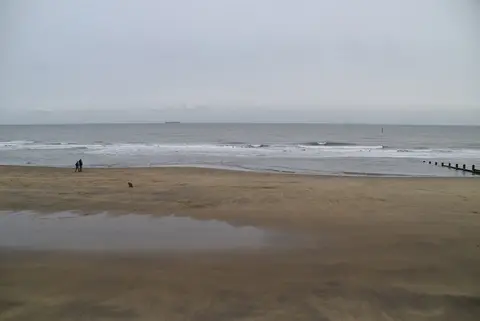
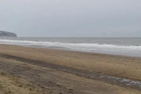
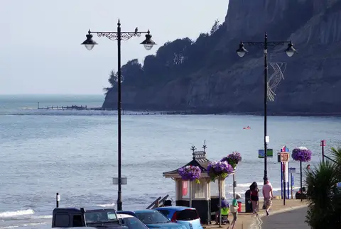
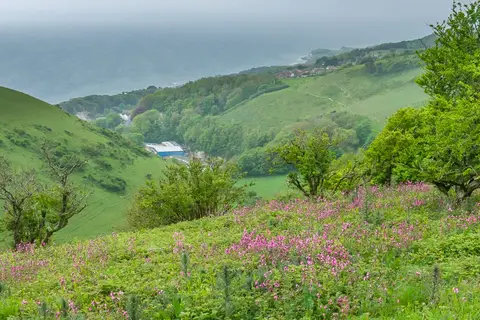
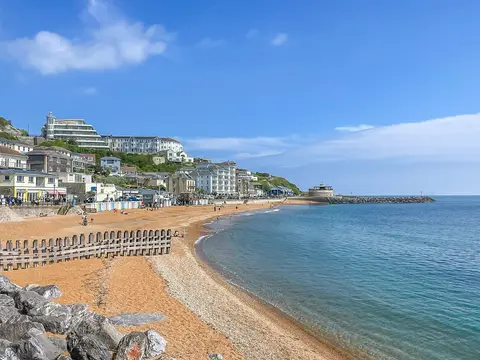
The walking is varied but rarely hard. The south and west are the finest stretches: chalk downland high above the Channel at Tennyson Down and Culver Down, the cliffs and coloured sands falling to the Needles, and the sheltered undercliff below Ventnor. The east coast strings together the resort towns — Sandown, Shanklin, Bembridge — on easy promenade and low cliff. The northern side, between Cowes and Yarmouth, turns quieter and more inland, skirting creeks and the Newtown nature reserve where the path leaves the shore to work around the estuaries.
Nothing on the route is remote by mainland standards — you are never far from a village, a bus or a tea room — but the downland sections have real ascent and descent, and the exposed cliff tops in the west can be hard going in wind. Erosion means the path is diverted inland in places from time to time.
It is straightforward to walk in stages. The island’s buses and the Ryde-to-Shanklin railway connect the coastal towns, so a section can be walked point to point and the walker carried back to the start without a car.