St Boniface Down
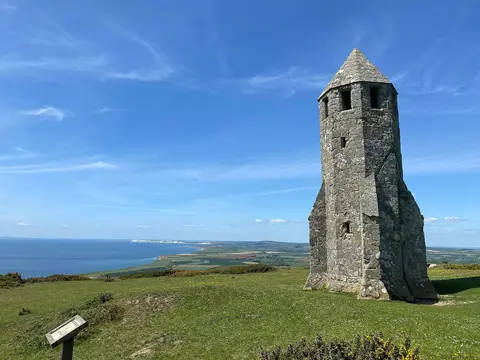
Open accessNational Trust downland, free to walk — the very top is inside a fenced radar compound, so paths circle it
St Boniface Down rises to 242 m (794 ft) in Isle of Wight. It counts among the 1,546 Marilyns, British hills with at least 150 m of drop on every side. It is the highest point of Isle of Wight. The nearest railway station is Shanklin, 3.6 km to the north.
More at hill-bagging.co.uk