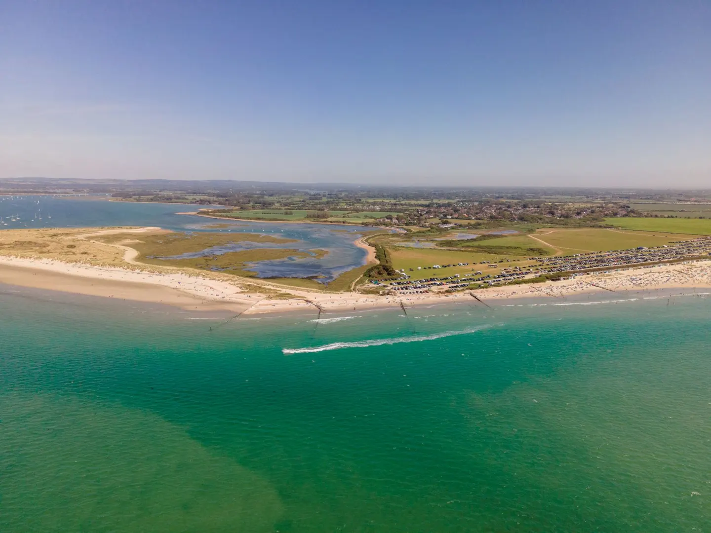
A big tidal harbour of creeks and mudflats on the Sussex and Hampshire coast, full of boats and birds, with a sandy spit at the mouth
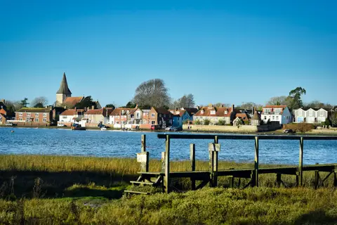
This is a landscape made mostly of water and mud. Chichester Harbour is a wide tidal inlet on the border of West Sussex and Hampshire, 73 square kilometres of creeks, saltmarsh and open channel that empties and fills twice a day. When the tide is out, big numbers of wading birds feed on the mudflats; when it’s in, the sailing boats come out.
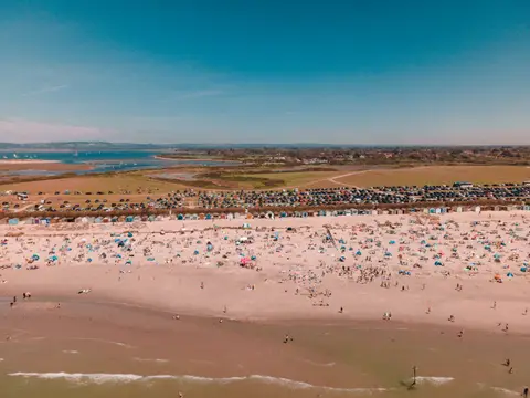
At the harbour mouth, East Head is a curling sand spit beside the beach at West Wittering, a good spot for a paddle and a walk. Old waterside villages like Bosham sit right on the edge, where the road floods at high tide and catches out the unwary driver. The King Charles III England Coast Path links much of the shoreline. Check the tide times before you park anywhere near the water.