A hundred and eight miles along the greensand ridge from Haslemere in Surrey to Hamstreet in Kent, over Leith Hill
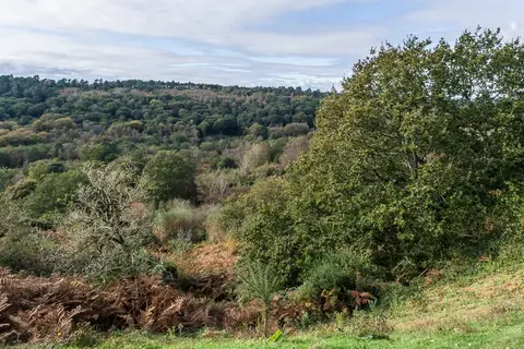
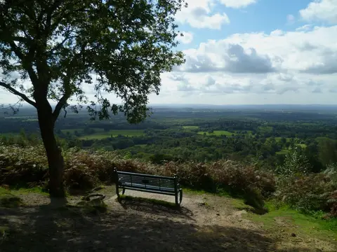
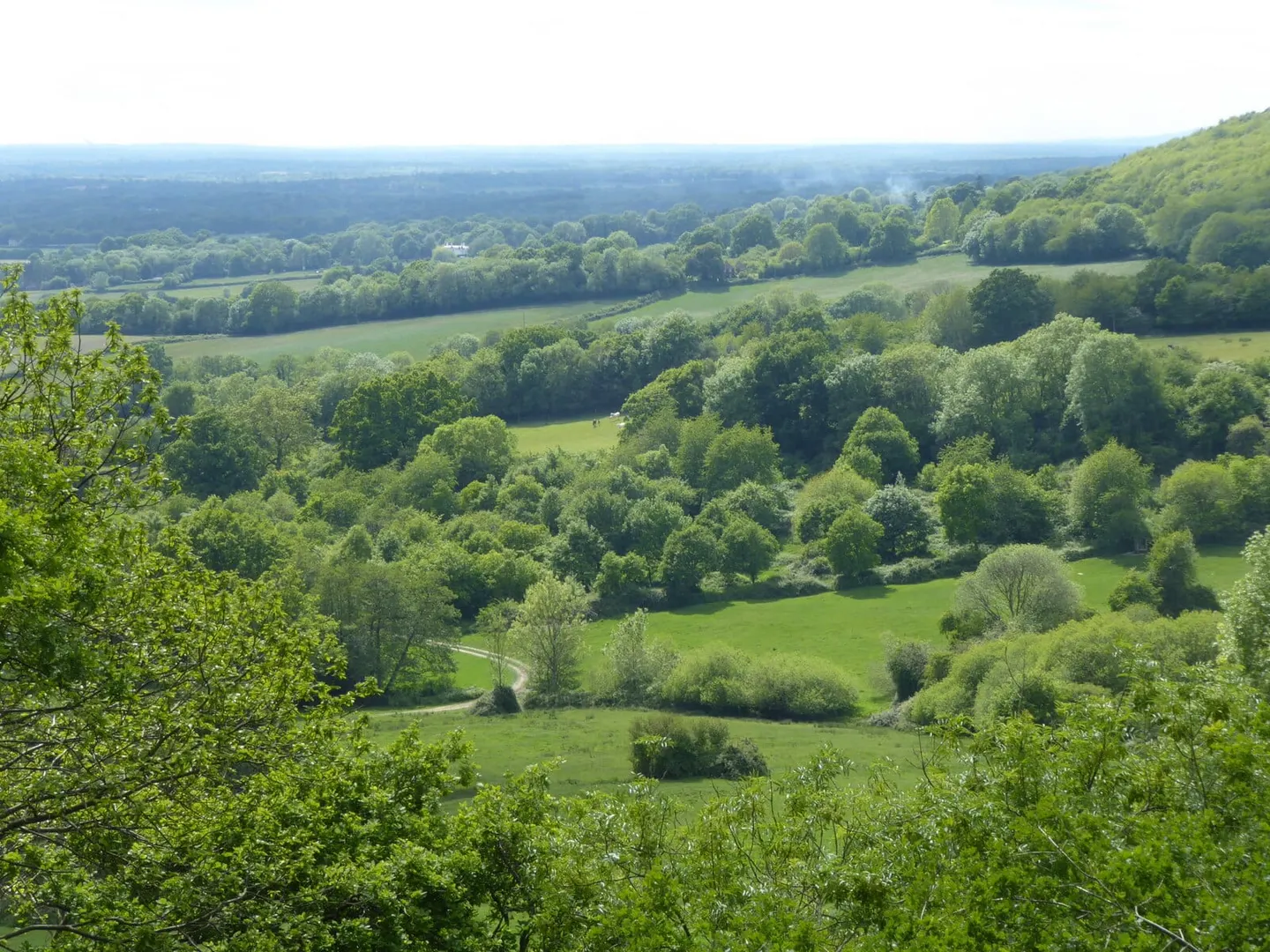
The Greensand Way runs 108 miles from Haslemere in west Surrey to Hamstreet in Kent, following a single band of rock. Greensand is a soft, iron-rich sandstone that forms a low ridge running east across the two counties, inside the chalk of the North Downs, and the trail keeps to this ridge for its whole length, which gives it long southward views over the Weald.
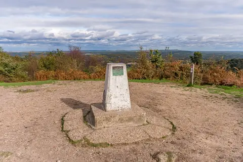
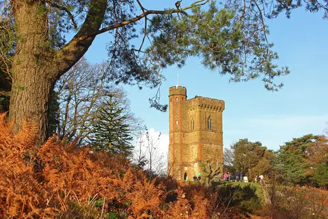
In Surrey it crosses the Surrey Hills and goes over Leith Hill, which at 965 feet is the highest point in south-east England; the tower on its summit lifts the view clear of the trees. East of there the ridge is lower, but the route stays on high ground through wooded, well-farmed country, crossing the River Medway near Yalding before running out across flatter land towards Romney Marsh, where it ends at Hamstreet.
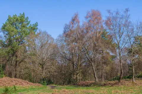
The walking is moderate: undulating rather than steep, with plenty of woodland and a good deal of quiet lane and field path. It is well waymarked and passes through two protected landscapes.
The route was first suggested in Patrick Abercrombie’s 1944 plan for post-war London and built slowly over the following decades — the first section, near Leith Hill, opened in 1980, and the Kent half was finished in 1989. It runs within reach of several stations, and the section through the Surrey Hills is the most scenic and the easiest to reach from London for a day’s walk.