River Medway
The non-tidal Medway navigation, nineteen easy miles from Tonbridge through Maidstone down to Allington Lock
This is the freshwater Medway navigation, the non-tidal river above the tideway — not the wide estuary of the Medway Towns and the naval dockyard downstream. It runs about nineteen miles through Kent, from Tonbridge down to Allington Lock below Maidstone, where the tide begins. There are around ten locks on the way, all of them easy, and the river is broad, slow and mild, which is what makes it one of the most popular canoeing rivers in the South East.
The Medway was made navigable in stages from the mid-eighteenth century, following a series of Acts of Parliament, to carry timber, hops, grain and Kentish ragstone down towards the Thames. Allington Lock, the lowest on the navigation and the limit of the tide, was first built in the 1790s and rebuilt in the Victorian period.
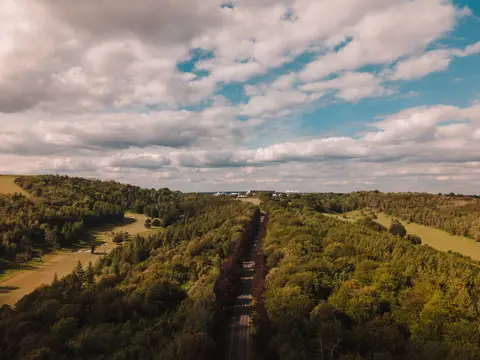
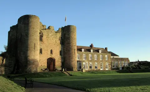
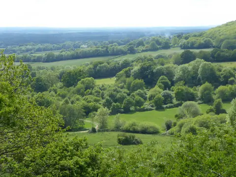
Between Tonbridge and Allington the river winds through the orchards and hop country of the Weald, past Penshurst upstream, and through the villages of Yalding, Teston and East Farleigh, several with old ragstone bridges spanning the water. Teston Bridge has a riverside country park that makes a good access point.
The whole run is marked as a canoe trail and can be paddled in a couple of days, with launch points and portages around the locks. For walkers, the Medway Valley Walk keeps to the river much of the way, and the Medway Valley railway line shadows it from Tonbridge through Maidstone, so both walking and paddling can be done in sections using the train.