Chalk hills, ancient woods and orchards, ending in the white cliffs above the Channel
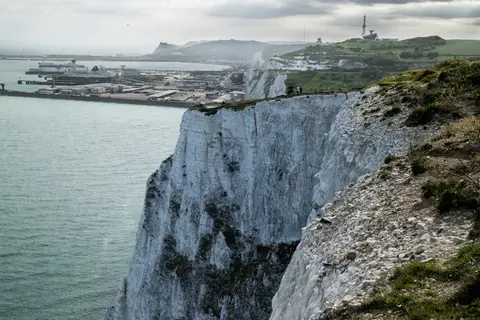
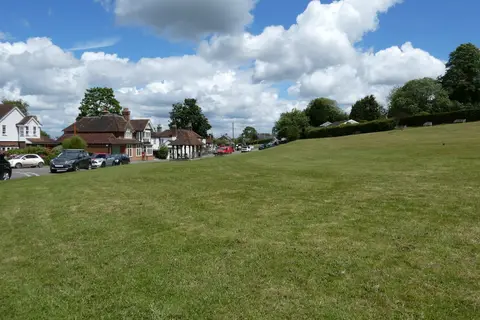
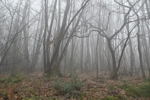
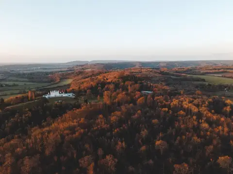
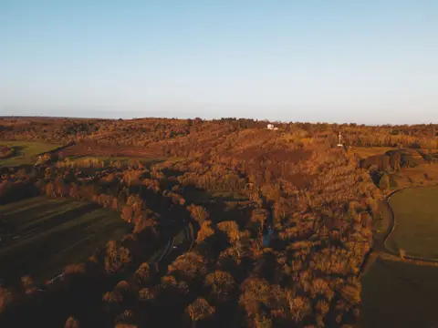
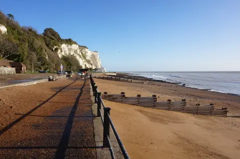
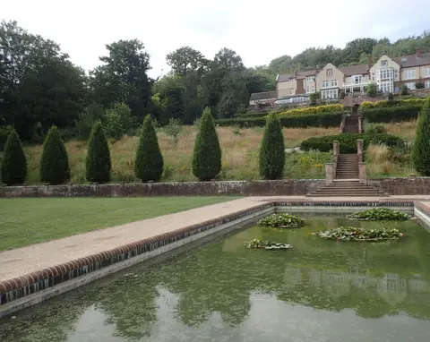
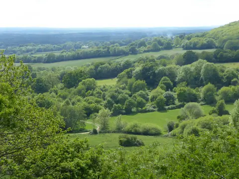
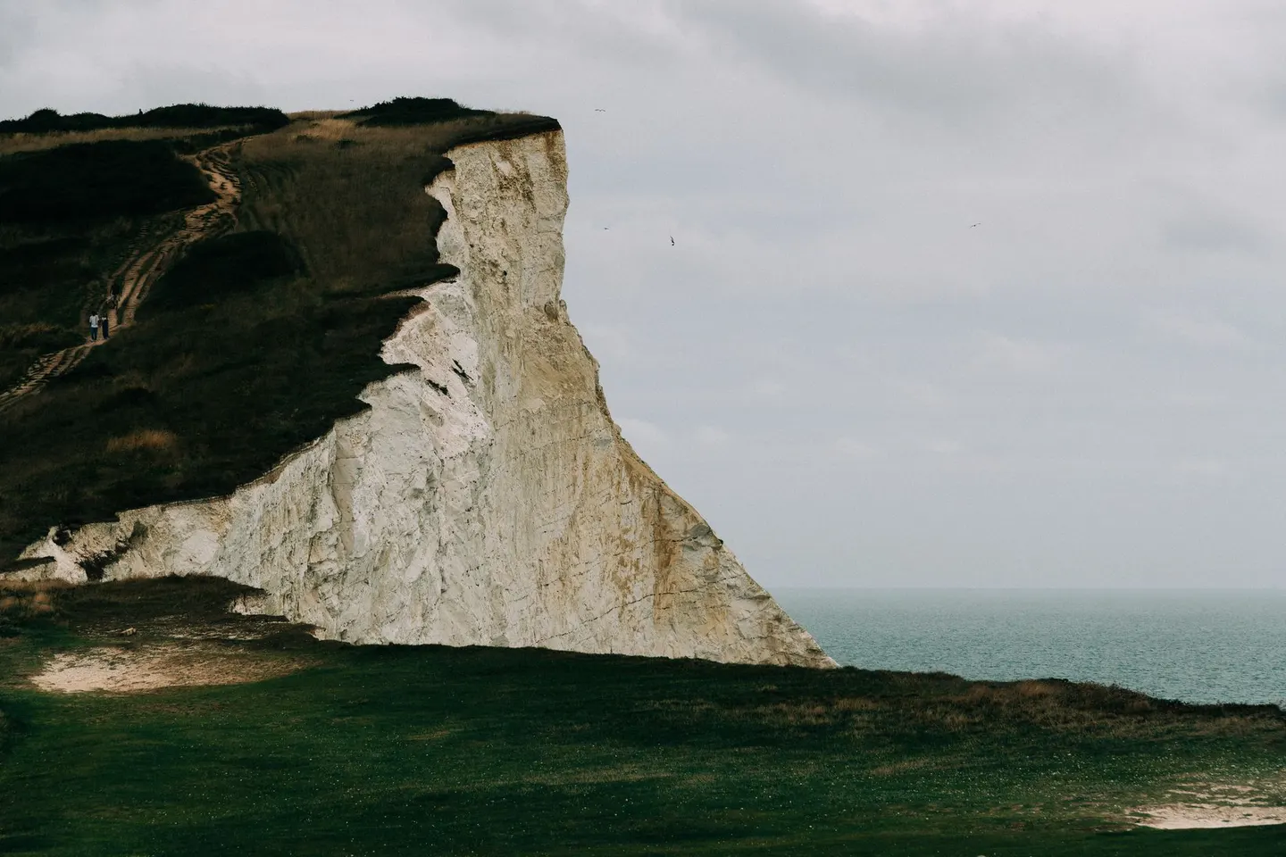
The chalk ridge that runs across Kent to the sea makes up this National Landscape, 879 km² of downland, hanging woods, orchards and dry valleys within easy reach of London. It ends dramatically at the coast, where the North Downs meet the Channel in the white cliffs between Dover and Folkestone.
The North Downs Way follows the crest from end to end, taking in high points like Betsom’s Hill — the highest ground in Kent — and the steep coombe at Wye. At the far end, the cliffs above Dover-Folkestone are the grand finale.
None of it is demanding, and much is reachable by train from London, which makes it fine year-round walking. The cliff paths are the one place to take care, so stay back from crumbling edges and keep dogs close near the drop.